1610 Wyomissing Rd Mohnton, PA 19540
Estimated Value: $415,798 - $433,000
3
Beds
2
Baths
2,354
Sq Ft
$180/Sq Ft
Est. Value
About This Home
This home is located at 1610 Wyomissing Rd, Mohnton, PA 19540 and is currently estimated at $424,700, approximately $180 per square foot. 1610 Wyomissing Rd is a home located in Berks County with nearby schools including Brecknock Elementary School, Governor Mifflin Intermediate School, and Governor Mifflin Middle School.
Ownership History
Date
Name
Owned For
Owner Type
Purchase Details
Closed on
Jun 1, 2023
Sold by
Rock Ron C
Bought by
Sunoco Pipeline Lp
Current Estimated Value
Purchase Details
Closed on
Mar 14, 2008
Sold by
Greth Fred P
Bought by
Rock Ron C and Rock Kimberly D
Home Financials for this Owner
Home Financials are based on the most recent Mortgage that was taken out on this home.
Original Mortgage
$162,000
Interest Rate
5.75%
Mortgage Type
Purchase Money Mortgage
Create a Home Valuation Report for This Property
The Home Valuation Report is an in-depth analysis detailing your home's value as well as a comparison with similar homes in the area
Home Values in the Area
Average Home Value in this Area
Purchase History
| Date | Buyer | Sale Price | Title Company |
|---|---|---|---|
| Sunoco Pipeline Lp | $532 | None Listed On Document | |
| Rock Ron C | $282,000 | None Available |
Source: Public Records
Mortgage History
| Date | Status | Borrower | Loan Amount |
|---|---|---|---|
| Previous Owner | Rock Ron C | $162,000 |
Source: Public Records
Tax History Compared to Growth
Tax History
| Year | Tax Paid | Tax Assessment Tax Assessment Total Assessment is a certain percentage of the fair market value that is determined by local assessors to be the total taxable value of land and additions on the property. | Land | Improvement |
|---|---|---|---|---|
| 2025 | $2,217 | $124,200 | $50,700 | $73,500 |
| 2024 | $5,714 | $124,200 | $50,700 | $73,500 |
| 2023 | $5,554 | $124,200 | $50,700 | $73,500 |
| 2022 | $5,415 | $124,200 | $50,700 | $73,500 |
| 2021 | $5,308 | $124,200 | $50,700 | $73,500 |
| 2020 | $5,308 | $124,200 | $50,700 | $73,500 |
| 2019 | $5,243 | $124,200 | $50,700 | $73,500 |
| 2018 | $5,149 | $124,200 | $50,700 | $73,500 |
| 2017 | $5,049 | $124,200 | $50,700 | $73,500 |
| 2016 | $1,785 | $124,200 | $50,700 | $73,500 |
| 2015 | $1,785 | $124,200 | $50,700 | $73,500 |
| 2014 | $1,785 | $124,200 | $50,700 | $73,500 |
Source: Public Records
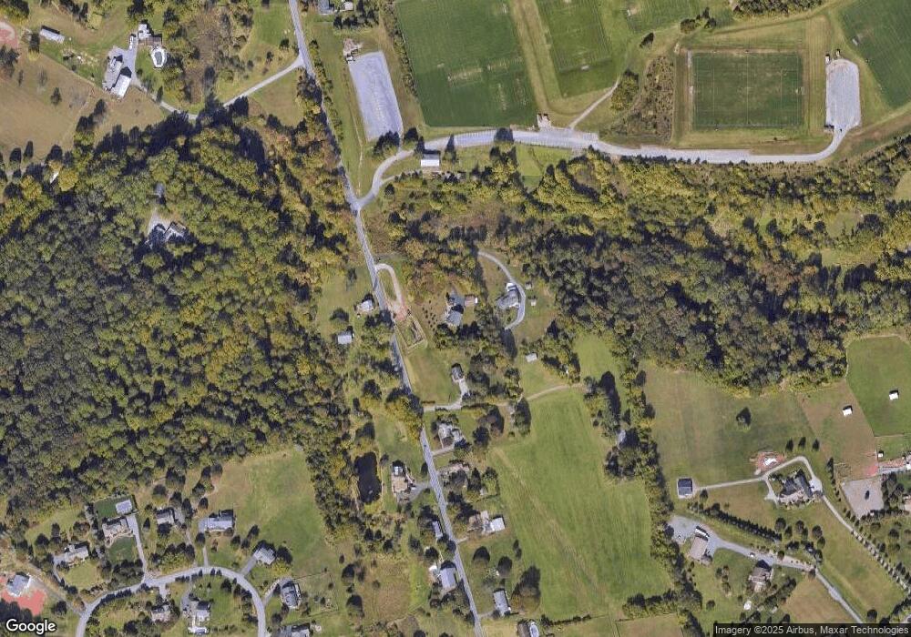
Map
Nearby Homes
- 4430 New Holland Rd
- 5021 Brook Ln
- 32 Stonehill Dr
- 270 Gouglersville Rd
- 180 Candy Rd
- 165 Hillcrest Rd
- 139 Hillcrest Rd
- 52 W Wyomissing Ave
- 3 Monroe St
- 5065 Cherrywood Dr
- 140 S Church St
- 338 Candy Rd
- 28 N Church St
- 15 Lake St
- 26 E Mohn St
- 18 Front St
- 306 Sycamore St
- 120 E Wyomissing Ave
- 13 E Summit St
- 131 E Wyomissing Ave
- 20 Colt Ln
- 1618 Wyomissing Rd
- 1630 Wyomissing Rd
- 1553 Wyomissing Rd
- 1592 Wyomissing Rd
- 1645 Wyomissing Rd
- 1644 Wyomissing Rd
- 1622 Wyomissing Rd
- 1651 Wyomissing Rd
- 1654 Wyomissing Rd
- 1661 Wyomissing Rd
- 5 Butlers Ln
- 38 Ford Ln
- 88 Butlers Ln
- 4 Butlers Ln
- 1666 Wyomissing Rd
- 1667 Wyomissing Rd
- 3131 Welsh Rd
- 1488 Wyomissing Rd
- 101 Butlers Ln