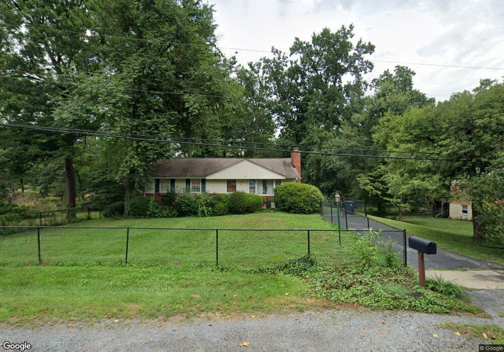
16105 Kenny Rd Laurel, MD 20707
West Laurel NeighborhoodEstimated Value: $389,513 - $519,000
--
Bed
1
Bath
1,111
Sq Ft
$428/Sq Ft
Est. Value
About This Home
This home is located at 16105 Kenny Rd, Laurel, MD 20707 and is currently estimated at $475,378, approximately $427 per square foot. 16105 Kenny Rd is a home located in Prince George's County with nearby schools including Bond Mill Elementary, Martin Luther King Jr. Middle School, and Laurel High School.
Ownership History
Date
Name
Owned For
Owner Type
Purchase Details
Closed on
Oct 21, 1996
Sold by
Gustavsson Per A
Bought by
Gustavsson Per A and Gustavsson Susan M
Current Estimated Value
Purchase Details
Closed on
Jun 13, 1995
Sold by
Alexander James F
Bought by
Gustavsson Per A
Home Financials for this Owner
Home Financials are based on the most recent Mortgage that was taken out on this home.
Original Mortgage
$148,902
Interest Rate
8.21%
Create a Home Valuation Report for This Property
The Home Valuation Report is an in-depth analysis detailing your home's value as well as a comparison with similar homes in the area
Home Values in the Area
Average Home Value in this Area
Purchase History
| Date | Buyer | Sale Price | Title Company |
|---|---|---|---|
| Gustavsson Per A | -- | -- | |
| Gustavsson Per A | $154,000 | -- |
Source: Public Records
Mortgage History
| Date | Status | Borrower | Loan Amount |
|---|---|---|---|
| Previous Owner | Gustavsson Per A | $148,902 |
Source: Public Records
Tax History Compared to Growth
Tax History
| Year | Tax Paid | Tax Assessment Tax Assessment Total Assessment is a certain percentage of the fair market value that is determined by local assessors to be the total taxable value of land and additions on the property. | Land | Improvement |
|---|---|---|---|---|
| 2025 | $4,201 | $357,900 | $123,900 | $234,000 |
| 2024 | $4,201 | $335,100 | $0 | $0 |
| 2023 | $4,026 | $312,300 | $0 | $0 |
| 2022 | $3,219 | $289,500 | $103,900 | $185,600 |
| 2021 | $4,894 | $279,667 | $0 | $0 |
| 2020 | $4,761 | $269,833 | $0 | $0 |
| 2019 | $3,723 | $260,000 | $101,900 | $158,100 |
| 2018 | $3,461 | $259,100 | $0 | $0 |
| 2017 | $3,421 | $258,200 | $0 | $0 |
| 2016 | -- | $257,300 | $0 | $0 |
| 2015 | $3,053 | $255,267 | $0 | $0 |
| 2014 | $3,053 | $253,233 | $0 | $0 |
Source: Public Records
Map
Nearby Homes
- 7019 Redmiles Rd
- 7019 Fitzpatrick Dr
- 16140 Kenny Rd
- 7106 Donston Dr
- Dorchester IV Plan at Cole's Manor
- Tidewater Plan at Cole's Manor
- Stratton Plan at Cole's Manor
- Adrienne's Honneur II Plan at Cole's Manor
- Mount Vernon IV Villa 2 Plan at Cole's Manor
- Federal Hill II Plan at Cole's Manor
- 7209 Brooklyn Bridge Rd
- 7105 Split Rail Ln
- 15712 Dorset Rd Unit T3
- 6802 Niles Dr
- 15708 Dorset Rd Unit 203
- 15708 Dorset Rd Unit 304
- 7323 Split Rail Ln
- 6918 Scotch Dr
- 7616 Woodbine Dr
- 7619 Woodbine Dr
- 16109 Kenny Rd
- 16101 Kenny Rd
- 16012 Malcolm Dr
- 16017 Kenny Rd
- 6806 Orem Dr
- 7016 Redmiles Rd
- 16006 Malcolm Dr
- 7018 Redmiles Rd
- 7014 Redmiles Rd
- 16113 Kenny Rd
- 16017 Malcolm Dr
- 16013 Kenny Rd
- 16104 Malcolm Dr
- 6804 Orem Dr
- 16013 Malcolm Dr
- 7020 Redmiles Rd
- 7012 Redmiles Rd
- 16101 Malcolm Dr
- 6807 Orem Dr
- 16009 Malcolm Dr