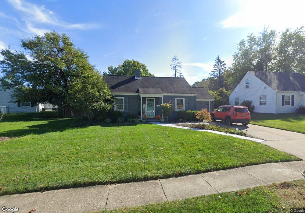
1611 Brookcrest Dr Hamilton, OH 45013
Estimated Value: $224,174 - $236,000
4
Beds
2
Baths
1,530
Sq Ft
$150/Sq Ft
Est. Value
About This Home
This home is located at 1611 Brookcrest Dr, Hamilton, OH 45013 and is currently estimated at $230,044, approximately $150 per square foot. 1611 Brookcrest Dr is a home located in Butler County with nearby schools including Brookwood Elementary School, Wilson Middle School, and Hamilton High School Main Campus.
Ownership History
Date
Name
Owned For
Owner Type
Purchase Details
Closed on
Aug 9, 2010
Sold by
White Pamela M and White Matt
Bought by
Whtie Chadwick M and White Aimee
Current Estimated Value
Purchase Details
Closed on
Aug 28, 2008
Sold by
Daugherty Donna L and Daugherty Monte
Bought by
White Pamela M and White Matt
Purchase Details
Closed on
Jun 29, 2004
Sold by
Robbins Earl and Robbins Marie
Bought by
Dougherty Donna L and White Pamela M
Purchase Details
Closed on
Apr 2, 2003
Sold by
Robbins Earl and Robbins Marie
Bought by
Robbins Earl and Robbins Marie
Create a Home Valuation Report for This Property
The Home Valuation Report is an in-depth analysis detailing your home's value as well as a comparison with similar homes in the area
Home Values in the Area
Average Home Value in this Area
Purchase History
| Date | Buyer | Sale Price | Title Company |
|---|---|---|---|
| Whtie Chadwick M | -- | Attorney | |
| White Pamela M | -- | Attorney | |
| Dougherty Donna L | -- | -- | |
| Robbins Earl | -- | -- |
Source: Public Records
Tax History
| Year | Tax Paid | Tax Assessment Tax Assessment Total Assessment is a certain percentage of the fair market value that is determined by local assessors to be the total taxable value of land and additions on the property. | Land | Improvement |
|---|---|---|---|---|
| 2025 | $2,390 | $56,640 | $9,720 | $46,920 |
| 2024 | $2,390 | $56,640 | $9,720 | $46,920 |
| 2023 | $2,379 | $57,920 | $9,720 | $48,200 |
| 2022 | $2,031 | $40,910 | $9,720 | $31,190 |
| 2021 | $1,793 | $39,600 | $9,720 | $29,880 |
| 2020 | $1,868 | $39,600 | $9,720 | $29,880 |
| 2019 | $2,312 | $31,580 | $9,700 | $21,880 |
| 2018 | $1,468 | $31,580 | $9,700 | $21,880 |
| 2017 | $1,480 | $31,580 | $9,700 | $21,880 |
| 2016 | $1,426 | $28,990 | $9,700 | $19,290 |
| 2015 | $1,418 | $28,990 | $9,700 | $19,290 |
| 2014 | $1,650 | $28,990 | $9,700 | $19,290 |
| 2013 | $1,650 | $35,040 | $9,700 | $25,340 |
Source: Public Records
Map
Nearby Homes
- 824 Carlisle Ave
- 540 Carlisle Ave
- 925 Carlisle Ave
- 987 Carlisle Ave
- 570 Fairhaven Dr
- 1326 Franklin St
- 30 Berkshire Ct
- 64 Brookwood Ave
- 75 Berkshire Ct
- 974 Westview Ave
- 1116 Azel Ave
- 46 Lexington Dr
- 732 Millville Ave
- 30 S Washington Blvd
- 146 Winston Dr
- 1044 Hunt Ave
- 177 Thomas Blvd
- 936 Elizabeth Dr
- 1102 Arbor Springs Dr
- 1263 Park Ave
- 1619 Brookcrest Dr
- 251 N Washington Blvd
- 1620 Sunset Dr
- 1627 Brookcrest Dr
- 1610 Sunset Dr
- 1630 Sunset Dr
- 241 N Washington Blvd
- 1651 Brookcrest Dr
- 1610 Brookcrest Dr
- 1622 Brookcrest Dr
- 1620 Brookcrest Dr
- 250 N Washington Blvd
- 1630 Brookcrest Dr
- 1638 Brookcrest Dr
- 240 N Washington Blvd
- 1648 Brookcrest Dr
- 221 N Washington Blvd
- 1625 Sunset Dr
- 1611 Sunset Dr
- 1589 Brookcrest Dr
Your Personal Tour Guide
Ask me questions while you tour the home.