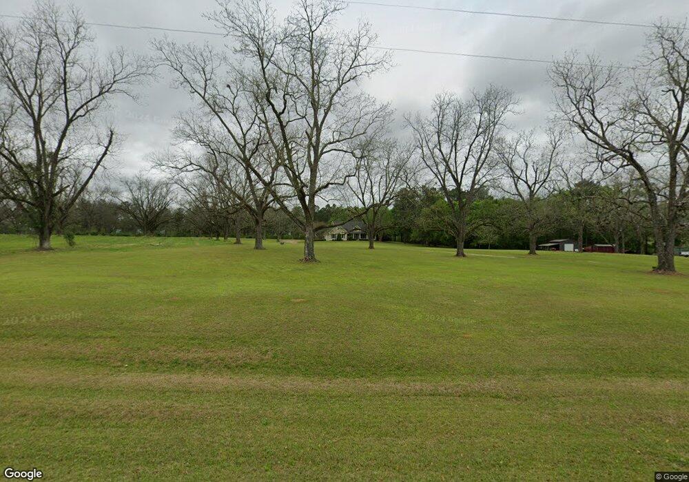
1611 Spence Rd Pelham, GA 31779
Estimated Value: $186,000 - $317,027
3
Beds
2
Baths
2,293
Sq Ft
$112/Sq Ft
Est. Value
About This Home
This home is located at 1611 Spence Rd, Pelham, GA 31779 and is currently estimated at $257,676, approximately $112 per square foot. 1611 Spence Rd is a home located in Grady County.
Ownership History
Date
Name
Owned For
Owner Type
Purchase Details
Closed on
Feb 13, 2007
Sold by
Harrell Roseanne S
Bought by
Harrell Darren Z
Current Estimated Value
Purchase Details
Closed on
May 3, 2006
Sold by
Powell Richard A
Bought by
Harrell Darren Zane and Harrell Roseanne S
Purchase Details
Closed on
Sep 15, 1998
Sold by
Bryan Paul W
Bought by
Powell Richard A
Create a Home Valuation Report for This Property
The Home Valuation Report is an in-depth analysis detailing your home's value as well as a comparison with similar homes in the area
Purchase History
| Date | Buyer | Sale Price | Title Company |
|---|---|---|---|
| Harrell Darren Z | -- | -- | |
| Harrell Darren Zane | $24,000 | -- | |
| Powell Richard A | -- | -- |
Source: Public Records
Mortgage History
| Date | Status | Borrower | Loan Amount |
|---|---|---|---|
| Closed | Harrell Darren Zane | $0 |
Source: Public Records
Tax History Compared to Growth
Tax History
| Year | Tax Paid | Tax Assessment Tax Assessment Total Assessment is a certain percentage of the fair market value that is determined by local assessors to be the total taxable value of land and additions on the property. | Land | Improvement |
|---|---|---|---|---|
| 2024 | $2,522 | $105,204 | $6,304 | $98,900 |
| 2023 | $2,096 | $70,089 | $6,568 | $63,521 |
| 2022 | $2,096 | $70,089 | $6,568 | $63,521 |
| 2021 | $2,103 | $70,089 | $6,568 | $63,521 |
| 2020 | $2,110 | $70,089 | $6,568 | $63,521 |
| 2019 | $2,110 | $70,089 | $6,568 | $63,521 |
| 2018 | $1,981 | $70,089 | $6,568 | $63,521 |
| 2017 | $1,885 | $70,089 | $6,568 | $63,521 |
| 2016 | $1,624 | $60,312 | $6,568 | $53,744 |
| 2015 | $1,604 | $60,312 | $6,568 | $53,744 |
| 2014 | $1,606 | $60,312 | $6,568 | $53,744 |
| 2013 | -- | $59,781 | $7,366 | $52,414 |
Source: Public Records
Map
Nearby Homes
- 835 Mill Pond Rd
- 000 Noles Rd
- 272 Homers Rd
- 387 Lakeshore Rd
- 4242 Georgia 262
- 8135 N Church St
- 0 Old Ga Highway 3
- 126 Banks Rd
- 5488 Bulloch Rd
- 443 Stewart St SW
- 0 Grady St SW
- 1197 U S 19
- 425 Hollis St SW
- 1181 U S 19
- 389 Stewart St SW
- 410 Hollis St SW
- 5854 Mount Olive Rd
- Lot 12C Garrett's Point
- 3** Youngs Mill Rd
- 277 Saunders St SW
- 1629 Spence Rd
- 1569 Spence Rd
- 1522 Spence Rd
- 1706 Spence Rd
- 196 Union Hill Rd
- 1429 Spence Rd
- 572 Mill Pond Rd
- 605 Union Hill Rd
- 297 Mill Pond Rd
- 1897 Spence Rd
- 560 Mill Pond Rd
- 354 Cooper Rd
- 1333 Spence Rd
- 620 Union Hill Rd
- 316 Cooper Rd
- 221 Mill Pond Rd
- 144 Curtis S Ln
- 674 Mill Pond Rd
- 1275 Spence Rd
- 1538 Stage Coach Rd
