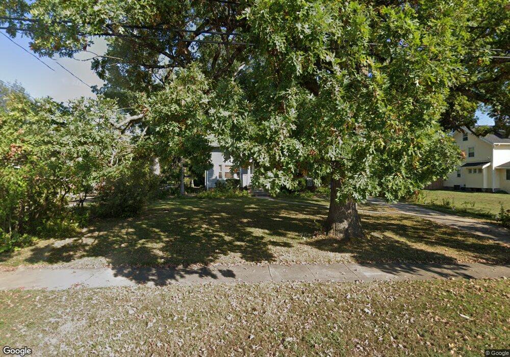
1612 Center Point Rd NE Cedar Rapids, IA 52402
Mound View NeighborhoodEstimated Value: $195,000 - $220,161
2
Beds
2
Baths
1,565
Sq Ft
$133/Sq Ft
Est. Value
About This Home
This home is located at 1612 Center Point Rd NE, Cedar Rapids, IA 52402 and is currently estimated at $208,290, approximately $133 per square foot. 1612 Center Point Rd NE is a home located in Linn County with nearby schools including Garfield Elementary School, Franklin Middle School, and George Washington High School.
Ownership History
Date
Name
Owned For
Owner Type
Purchase Details
Closed on
Jun 23, 2006
Sold by
Bradley Dustin Robert and Bradley Jennifer Ann
Bought by
Bradley Dustin Robert
Current Estimated Value
Purchase Details
Closed on
Nov 5, 2001
Sold by
Bradley June P
Bought by
Bradley Dustin Robert and Bradley Jennifer Ann
Home Financials for this Owner
Home Financials are based on the most recent Mortgage that was taken out on this home.
Original Mortgage
$85,000
Interest Rate
6.64%
Create a Home Valuation Report for This Property
The Home Valuation Report is an in-depth analysis detailing your home's value as well as a comparison with similar homes in the area
Home Values in the Area
Average Home Value in this Area
Purchase History
| Date | Buyer | Sale Price | Title Company |
|---|---|---|---|
| Bradley Dustin Robert | -- | None Available | |
| Bradley Dustin Robert | $89,500 | -- |
Source: Public Records
Mortgage History
| Date | Status | Borrower | Loan Amount |
|---|---|---|---|
| Closed | Bradley Dustin Robert | $85,000 |
Source: Public Records
Tax History Compared to Growth
Tax History
| Year | Tax Paid | Tax Assessment Tax Assessment Total Assessment is a certain percentage of the fair market value that is determined by local assessors to be the total taxable value of land and additions on the property. | Land | Improvement |
|---|---|---|---|---|
| 2025 | $3,364 | $209,800 | $42,200 | $167,600 |
| 2024 | $3,194 | $195,200 | $38,400 | $156,800 |
| 2023 | $3,194 | $200,600 | $38,400 | $162,200 |
| 2022 | $2,910 | $160,300 | $30,700 | $129,600 |
| 2021 | $3,010 | $149,400 | $30,700 | $118,700 |
| 2020 | $3,010 | $145,000 | $25,000 | $120,000 |
| 2019 | $2,942 | $145,000 | $25,000 | $120,000 |
| 2018 | $2,624 | $145,000 | $25,000 | $120,000 |
| 2017 | $2,503 | $133,100 | $25,000 | $108,100 |
| 2016 | $2,503 | $117,800 | $25,000 | $92,800 |
| 2015 | $2,781 | $130,741 | $30,720 | $100,021 |
| 2014 | $2,596 | $136,993 | $30,720 | $106,273 |
| 2013 | $2,666 | $136,993 | $30,720 | $106,273 |
Source: Public Records
Map
Nearby Homes
- 2906 Oakland Rd NE
- 2935 Wildwood Ct NE
- 3028 Center Point Rd NE Unit 202
- 3050 Center Point Rd NE
- 1046 12th St NE
- 2962 Circle Dr NE
- 1204 Elmhurst Dr NE
- 2000 Sierra Cir NE
- 2006 Sierra Cir NE
- 1311 I Ave NE
- 2012 Sierra Cir NE
- 2018 Sierra Cir NE
- 2011 Sierra Cir NE
- 2113 Linmar Dr NE
- 2102 Sierra Cir NE
- 1230 30th St NE
- 2110 Sierra Cir NE
- 2015 Sierra Cir NE
- 2116 Sierra Cir NE
- 2019 Sierra Cir NE
- 1620 Center Point Rd NE
- 1600 Center Point Rd NE
- 1700 Center Point Rd NE
- 1528 Center Point Rd NE
- 1708 Center Point Rd NE
- 1611 Center Point Rd NE
- 1601-1611 Center Point Rd NE
- 1524 Center Point Rd NE
- 1617 Center Point Rd NE
- 1601 Daniels St NE
- 1515 Daniels St NE
- 1518 Center Point Rd NE
- 1705 Center Point Rd NE
- 1718 Center Point Rd NE
- 1330 O Ave NE
- 1537 Center Point Rd NE
- 1627 Center Point Rd NE
- 1334 O Ave NE
- 1510 Center Point Rd NE
- 1322 O Ave NE