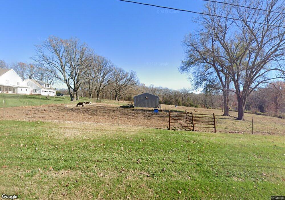
1612 N Farm Road 203 Strafford, MO 65757
Southeast Springfield NeighborhoodEstimated Value: $789,000 - $1,493,534
6
Beds
5
Baths
5,373
Sq Ft
$212/Sq Ft
Est. Value
About This Home
This home is located at 1612 N Farm Road 203, Strafford, MO 65757 and is currently estimated at $1,141,267, approximately $212 per square foot. 1612 N Farm Road 203 is a home with nearby schools including Hickory Hills K-8 School and Glendale High School.
Ownership History
Date
Name
Owned For
Owner Type
Purchase Details
Closed on
Jan 27, 2023
Sold by
Prosser Investments Llc
Bought by
Evergreen Re Llc
Current Estimated Value
Purchase Details
Closed on
Sep 15, 2021
Sold by
Slayden Christopher B and Slayden Christine R
Bought by
Slayden Christopher B and Slayden Christine R
Purchase Details
Closed on
Mar 28, 2018
Sold by
Sgb Investments Llc
Bought by
Slayden Christopher B and Slayden Christine R
Home Financials for this Owner
Home Financials are based on the most recent Mortgage that was taken out on this home.
Original Mortgage
$742,640
Interest Rate
4.38%
Mortgage Type
Construction
Create a Home Valuation Report for This Property
The Home Valuation Report is an in-depth analysis detailing your home's value as well as a comparison with similar homes in the area
Home Values in the Area
Average Home Value in this Area
Purchase History
| Date | Buyer | Sale Price | Title Company |
|---|---|---|---|
| Evergreen Re Llc | -- | -- | |
| Slayden Christopher B | -- | None Available | |
| Slayden Christopher B | -- | None Available |
Source: Public Records
Mortgage History
| Date | Status | Borrower | Loan Amount |
|---|---|---|---|
| Previous Owner | Slayden Christopher B | $742,640 |
Source: Public Records
Tax History Compared to Growth
Tax History
| Year | Tax Paid | Tax Assessment Tax Assessment Total Assessment is a certain percentage of the fair market value that is determined by local assessors to be the total taxable value of land and additions on the property. | Land | Improvement |
|---|---|---|---|---|
| 2025 | $10,714 | $212,370 | $13,320 | $199,050 |
| 2024 | $10,714 | $189,710 | $10,950 | $178,760 |
| 2023 | $10,766 | $189,710 | $10,950 | $178,760 |
| 2022 | $8,122 | $139,190 | $10,950 | $128,240 |
| 2021 | $7,691 | $139,190 | $10,950 | $128,240 |
| 2020 | $7,350 | $126,610 | $10,950 | $115,660 |
| 2019 | $7,155 | $126,610 | $10,950 | $115,660 |
Source: Public Records
Map
Nearby Homes
- 1984 N Alysheba Ct
- 1999 N Alysheba Ct
- 2025 N Unbridled Ct
- 5558 E Cavalcade Ln
- 5546 E Cavalcade Ln
- 5534 E Cavalcade Ln
- 5564 E Wild Horse Dr
- 1999 N Riva Ridge Ct
- Lake Edge Plan at Wild Horse
- Lake Edge II Plan at Wild Horse
- Lancaster II Plan at Wild Horse
- Meadowood Plan at Wild Horse
- Palomino Plan at Wild Horse
- Silverado Plan at Wild Horse
- Stone Ridge Plan at Wild Horse
- Emerson Plan at Wild Horse
- Lancaster I Plan at Wild Horse
- 1961 N Cannonade Ct
- Lot 1 Morningwood
- 1976 N Citation Ave
- 1524 N Farm Road 203
- 1611 N Farm Road 203
- 5521 E Division St
- 5682 E State Highway Yy
- 5646 E State Highway Yy
- 1643 N Farm Road 203
- 1697 N Farm Road 203
- 5716 E State Highway Yy
- 5688 E Farm Road 122
- 5713 E Division St
- 1744 N Farm Road 203
- 5716 E Farm Road 122
- 1747 N Farm Road 203
- 5455 E State Highway Yy
- All Lots of Wild Horse Subdivision
- 5627 E Farm Road 122
- 5641 E Russet Ridge Ln
- 1425 N Farm Road 205
- 1841 N Farm Road 203
- 5607 E Russet Ridge Ln