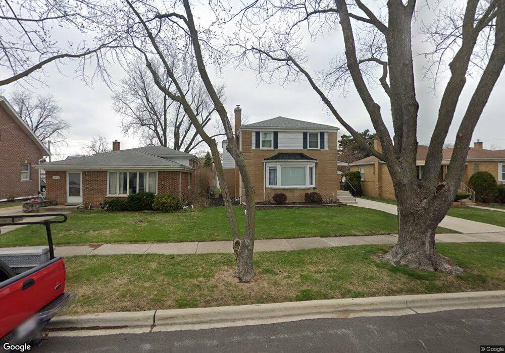
1612 Portsmouth Ave Westchester, IL 60154
Estimated Value: $418,000 - $502,000
4
Beds
3
Baths
1,764
Sq Ft
$253/Sq Ft
Est. Value
About This Home
This home is located at 1612 Portsmouth Ave, Westchester, IL 60154 and is currently estimated at $446,257, approximately $252 per square foot. 1612 Portsmouth Ave is a home located in Cook County with nearby schools including Westchester Primary School, Westchester Intermediate School, and Westchester Middle School.
Ownership History
Date
Name
Owned For
Owner Type
Purchase Details
Closed on
May 22, 2000
Sold by
Sweazey James B and Sweazey Barbara J
Bought by
Wojtynek Jeffrey E and Wojtynek Consuelo P
Current Estimated Value
Home Financials for this Owner
Home Financials are based on the most recent Mortgage that was taken out on this home.
Original Mortgage
$180,000
Outstanding Balance
$62,185
Interest Rate
8.14%
Estimated Equity
$384,072
Create a Home Valuation Report for This Property
The Home Valuation Report is an in-depth analysis detailing your home's value as well as a comparison with similar homes in the area
Home Values in the Area
Average Home Value in this Area
Purchase History
| Date | Buyer | Sale Price | Title Company |
|---|---|---|---|
| Wojtynek Jeffrey E | $225,000 | Intercounty Title |
Source: Public Records
Mortgage History
| Date | Status | Borrower | Loan Amount |
|---|---|---|---|
| Open | Wojtynek Jeffrey E | $180,000 |
Source: Public Records
Tax History Compared to Growth
Tax History
| Year | Tax Paid | Tax Assessment Tax Assessment Total Assessment is a certain percentage of the fair market value that is determined by local assessors to be the total taxable value of land and additions on the property. | Land | Improvement |
|---|---|---|---|---|
| 2024 | $7,003 | $30,000 | $4,690 | $25,310 |
| 2023 | $5,900 | $30,000 | $4,690 | $25,310 |
| 2022 | $5,900 | $22,760 | $4,020 | $18,740 |
| 2021 | $5,738 | $22,760 | $4,020 | $18,740 |
| 2020 | $5,672 | $22,760 | $4,020 | $18,740 |
| 2019 | $6,538 | $26,571 | $3,685 | $22,886 |
| 2018 | $6,450 | $26,571 | $3,685 | $22,886 |
| 2017 | $6,343 | $26,571 | $3,685 | $22,886 |
| 2016 | $5,922 | $22,801 | $3,350 | $19,451 |
| 2015 | $5,809 | $22,801 | $3,350 | $19,451 |
| 2014 | $5,690 | $22,801 | $3,350 | $19,451 |
| 2013 | $5,129 | $23,032 | $3,350 | $19,682 |
Source: Public Records
Map
Nearby Homes
- 1623 Manchester Ave
- 1907 Suffolk Ave
- 1601 Bristol Ave
- 1500 Bristol Ave
- 1932 Newcastle Ave
- 1900 Manchester Ave
- 1840 Gardner Rd
- 1433 Bristol Ave
- 2128 Hull Ave
- 10072 Drury Ln
- 1247 S Mannheim Rd Unit 3
- 1119 Newcastle Ave
- 10531 Camelot St
- 10524 Camelot St
- 10567 Waterford Dr
- 920 Suffolk Ave
- 923 Manchester Ave
- 1860 Buckingham Ave
- 1811 Downing Ave
- 814 Norfolk Ave
- 1616 Portsmouth Ave
- 1604 Portsmouth Ave
- 1622 Portsmouth Ave
- 1600 Portsmouth Ave
- 1611 Newcastle Ave
- 1615 Newcastle Ave
- 1626 Portsmouth Ave
- 1623 Newcastle Ave
- 1611 Portsmouth Ave
- 1627 Newcastle Ave
- 1607 Portsmouth Ave
- 1617 Portsmouth Ave
- 1558 Portsmouth Ave
- 1603 Portsmouth Ave
- 1621 Portsmouth Ave
- 1631 Newcastle Ave
- 1627 Portsmouth Ave
- 1636 Portsmouth Ave
- 1559 Newcastle Ave
- 1552 Portsmouth Ave