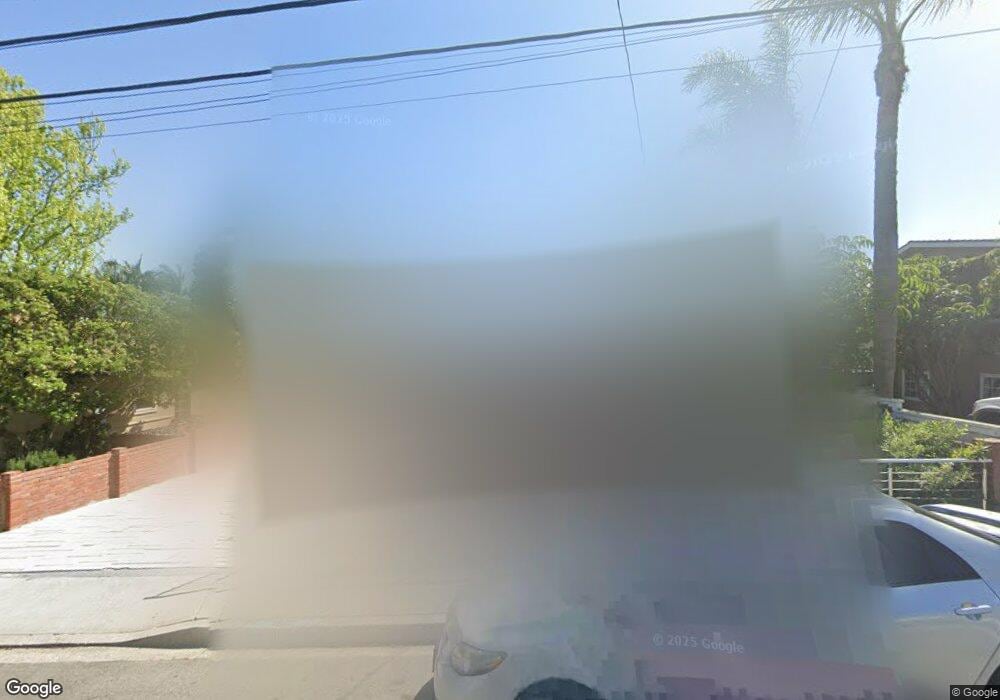
1612 Ruhland Ave Manhattan Beach, CA 90266
Estimated Value: $2,072,916 - $2,972,000
3
Beds
1
Bath
1,898
Sq Ft
$1,327/Sq Ft
Est. Value
About This Home
This home is located at 1612 Ruhland Ave, Manhattan Beach, CA 90266 and is currently estimated at $2,518,979, approximately $1,327 per square foot. 1612 Ruhland Ave is a home located in Los Angeles County with nearby schools including Aurelia Pennekamp Elementary School, Manhattan Beach Middle School, and Mira Costa High School.
Ownership History
Date
Name
Owned For
Owner Type
Purchase Details
Closed on
Aug 28, 2009
Sold by
Baker Patrina and The Lavonne Patricia Graham Re
Bought by
Mannan Sam
Current Estimated Value
Home Financials for this Owner
Home Financials are based on the most recent Mortgage that was taken out on this home.
Original Mortgage
$668,000
Outstanding Balance
$435,758
Interest Rate
5.14%
Mortgage Type
New Conventional
Estimated Equity
$2,083,221
Purchase Details
Closed on
Oct 4, 2002
Sold by
Graham Lavonne Patricia
Bought by
Lavonne Patricia Graham 2002 Revocable T
Create a Home Valuation Report for This Property
The Home Valuation Report is an in-depth analysis detailing your home's value as well as a comparison with similar homes in the area
Home Values in the Area
Average Home Value in this Area
Purchase History
| Date | Buyer | Sale Price | Title Company |
|---|---|---|---|
| Mannan Sam | $835,000 | Fidelity National Title Co | |
| Lavonne Patricia Graham 2002 Revocable T | -- | -- |
Source: Public Records
Mortgage History
| Date | Status | Borrower | Loan Amount |
|---|---|---|---|
| Open | Mannan Sam | $668,000 |
Source: Public Records
Tax History Compared to Growth
Tax History
| Year | Tax Paid | Tax Assessment Tax Assessment Total Assessment is a certain percentage of the fair market value that is determined by local assessors to be the total taxable value of land and additions on the property. | Land | Improvement |
|---|---|---|---|---|
| 2025 | $14,113 | $1,216,402 | $862,264 | $354,138 |
| 2024 | $14,113 | $1,192,552 | $845,357 | $347,195 |
| 2023 | $13,650 | $1,169,170 | $828,782 | $340,388 |
| 2022 | $13,420 | $1,146,246 | $812,532 | $333,714 |
| 2021 | $13,313 | $1,123,771 | $796,600 | $327,171 |
| 2019 | $12,962 | $1,090,441 | $772,973 | $317,468 |
| 2018 | $12,649 | $1,069,061 | $757,817 | $311,244 |
| 2016 | $11,474 | $1,027,550 | $728,391 | $299,159 |
| 2015 | $11,236 | $1,012,116 | $717,450 | $294,666 |
| 2014 | $10,778 | $857,200 | $583,100 | $274,100 |
Source: Public Records
Map
Nearby Homes
- 1756 Ruhland Ave
- 1752 Carver St
- 1752 Dixon St
- 1758 Reed St
- 1742 Reed St
- 615 Aviation Way
- 2406 Aviation Blvd Unit C
- 207 S Aviation Blvd
- 1711 Axenty Way
- 1500 2nd St
- 1902 Gates Ave
- 1623 Carver St
- 1643 3rd St
- 2700 Aviation Blvd
- 1900 Vanderbilt Ln
- 1722 Rockefeller Ln
- 2005 Mathews Ave Unit C
- 1832 Rockefeller Ln Unit 9
- 1861 Harper Ave
- 2001 Artesia Blvd Unit 207
- 1616 Ruhland Ave
- 1600 Ruhland Ave
- 1622 Ruhland Ave
- 1626 Ruhland Ave
- 1613 Ruhland Ave
- 1617 Ruhland Ave
- 1613 Nelson Ave
- 1607 Ruhland Ave
- 1607 Nelson Ave
- 1617 Nelson Ave
- 1623 Ruhland Ave
- 1601 Ruhland Ave
- 1560 Ruhland Ave
- 1632 Ruhland Ave
- 1601 Nelson Ave
- 1623 Nelson Ave
- 1627 Ruhland Ave
- 1627 Nelson Ave
- 1554 Ruhland Ave
- 1636 Ruhland Ave