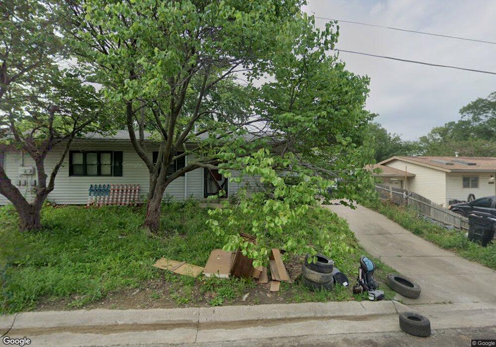
1612 SW 66th St Topeka, KS 66619
Estimated Value: $86,365 - $99,000
3
Beds
1
Bath
1,136
Sq Ft
$81/Sq Ft
Est. Value
About This Home
This home is located at 1612 SW 66th St, Topeka, KS 66619 and is currently estimated at $91,591, approximately $80 per square foot. 1612 SW 66th St is a home located in Shawnee County with nearby schools including Pauline Central Primary School, Pauline South Intermediate School, and Washburn Rural Middle School.
Ownership History
Date
Name
Owned For
Owner Type
Purchase Details
Closed on
Jun 21, 2024
Sold by
Shook Ralph S
Bought by
Shook Kristen M
Current Estimated Value
Home Financials for this Owner
Home Financials are based on the most recent Mortgage that was taken out on this home.
Original Mortgage
$56,000
Outstanding Balance
$55,295
Interest Rate
7.09%
Mortgage Type
New Conventional
Estimated Equity
$36,296
Purchase Details
Closed on
May 10, 2020
Sold by
Shook Shana B
Bought by
Shook Ralph S
Purchase Details
Closed on
Jul 2, 2007
Sold by
Shook Ralph S and Shook Shana B
Bought by
Shook Ralph S and Shook Shana B
Home Financials for this Owner
Home Financials are based on the most recent Mortgage that was taken out on this home.
Original Mortgage
$53,700
Interest Rate
6.37%
Mortgage Type
New Conventional
Create a Home Valuation Report for This Property
The Home Valuation Report is an in-depth analysis detailing your home's value as well as a comparison with similar homes in the area
Home Values in the Area
Average Home Value in this Area
Purchase History
| Date | Buyer | Sale Price | Title Company |
|---|---|---|---|
| Shook Kristen M | -- | Lawyers Title Of Topeka | |
| Shook Ralph S | -- | None Available | |
| Shook Ralph S | -- | None Available |
Source: Public Records
Mortgage History
| Date | Status | Borrower | Loan Amount |
|---|---|---|---|
| Open | Shook Kristen M | $56,000 | |
| Previous Owner | Shook Ralph S | $53,700 |
Source: Public Records
Tax History Compared to Growth
Tax History
| Year | Tax Paid | Tax Assessment Tax Assessment Total Assessment is a certain percentage of the fair market value that is determined by local assessors to be the total taxable value of land and additions on the property. | Land | Improvement |
|---|---|---|---|---|
| 2025 | $1,418 | $11,692 | -- | -- |
| 2023 | $1,418 | $10,117 | $0 | $0 |
| 2022 | $1,178 | $8,797 | $0 | $0 |
| 2021 | $1,048 | $7,854 | $0 | $0 |
| 2020 | $994 | $7,552 | $0 | $0 |
| 2019 | $965 | $7,332 | $0 | $0 |
| 2018 | $927 | $7,118 | $0 | $0 |
| 2017 | $945 | $7,118 | $0 | $0 |
| 2014 | $947 | $7,118 | $0 | $0 |
Source: Public Records
Map
Nearby Homes
- 7130 SW Lario Ln
- 0 SW Burlingame Rd
- 4498 SW Moundview Dr
- XXXX SW Moundview Dr
- 6036 SE Adams St
- 5515 SW Mission Ave
- 3746 SW Topeka Blvd
- 224 SW Terra Dr
- 175 SE Willow Way St
- 156 SE Willow Way St Unit 156
- 154 SE Willow Way St Unit 154
- 00 SW 85th St
- 149 SE Willow Way St
- 5614 SW Fairlawn Rd
- 113 SE Willow Way St
- 115 SE Willow Way St
- 3313 SW 46th St
- 226 SE 47th St Unit 226
- 222 SE 46th Terrace Unit 222
- 138 SE 46th St
- 1614 SW 66th St
- 1602 SW 66th St
- 1602 SW 66th St Unit 66th St
- 1702 SW 66th St
- 1600 SW 66th St
- 6602 SW Meadowdale Dr
- 1701 SW 66th St
- 1704 SW 66th St
- 6600 SW Fieldwood Dr
- 6607 SW Fieldwood Dr
- 6604 SW Meadowdale Dr
- 1703 SW 66th St
- Blk D, Lot SE 77th St
- Blk D, Lot SE Gary Ormsby Dr
- Blk C, Lot SE Gary Ormsby Dr
- Blk B, Lot SE Gary Ormsby Dr
- 0000 SW Wanamaker Rd
- APPROX 550 SW 61st St
- 6609 SW Fieldwood Dr
- 1714 SW 66th St