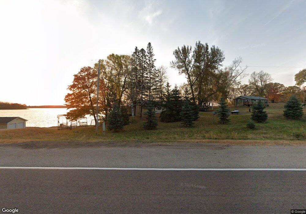
16120 State Highway 27 W Kensington, MN 56343
Estimated Value: $368,000 - $451,000
2
Beds
2
Baths
1,458
Sq Ft
$285/Sq Ft
Est. Value
About This Home
This home is located at 16120 State Highway 27 W, Kensington, MN 56343 and is currently estimated at $415,040, approximately $284 per square foot. 16120 State Highway 27 W is a home located in Douglas County with nearby schools including Garfield Elementary School, Discovery Middle School, and Alexandria Area High School.
Ownership History
Date
Name
Owned For
Owner Type
Purchase Details
Closed on
May 19, 2020
Sold by
Leuty Garland T
Bought by
Rajavuori Suzanne and Rajavuori Scott
Current Estimated Value
Purchase Details
Closed on
Sep 28, 2011
Sold by
Leuty Garland T
Bought by
Rajavuori Suzanne
Home Financials for this Owner
Home Financials are based on the most recent Mortgage that was taken out on this home.
Original Mortgage
$185,183
Interest Rate
3.75%
Mortgage Type
FHA
Purchase Details
Closed on
Sep 26, 2011
Sold by
Olson Gary A and Olson Leslie M
Bought by
Leuty Gerland T
Home Financials for this Owner
Home Financials are based on the most recent Mortgage that was taken out on this home.
Original Mortgage
$185,183
Interest Rate
3.75%
Mortgage Type
FHA
Create a Home Valuation Report for This Property
The Home Valuation Report is an in-depth analysis detailing your home's value as well as a comparison with similar homes in the area
Home Values in the Area
Average Home Value in this Area
Purchase History
| Date | Buyer | Sale Price | Title Company |
|---|---|---|---|
| Rajavuori Suzanne | -- | Eagle Creek Title Llc | |
| Rajavuori Suzanne | -- | None Available | |
| Leuty Gerland T | $190,000 | None Available |
Source: Public Records
Mortgage History
| Date | Status | Borrower | Loan Amount |
|---|---|---|---|
| Open | Rajavuori Scott | $251,500 | |
| Closed | Rajavuori Suzanne | $186,400 | |
| Previous Owner | Rajavuori Suzanne | $195,000 | |
| Previous Owner | Leuty Gerland T | $185,183 | |
| Previous Owner | Olson Gary A | $173,500 | |
| Previous Owner | Olson Gary A | $25,000 |
Source: Public Records
Tax History Compared to Growth
Tax History
| Year | Tax Paid | Tax Assessment Tax Assessment Total Assessment is a certain percentage of the fair market value that is determined by local assessors to be the total taxable value of land and additions on the property. | Land | Improvement |
|---|---|---|---|---|
| 2024 | $2,774 | $382,400 | $68,300 | $314,100 |
| 2023 | $2,586 | $326,500 | $63,000 | $263,500 |
| 2022 | $2,474 | $303,600 | $57,800 | $245,800 |
| 2021 | $2,422 | $271,200 | $57,800 | $213,400 |
| 2020 | $2,404 | $256,300 | $57,800 | $198,500 |
| 2019 | $2,268 | $247,300 | $52,500 | $194,800 |
| 2018 | $2,170 | $242,700 | $52,500 | $190,200 |
| 2017 | $1,928 | $236,200 | $52,500 | $183,700 |
| 2016 | $1,988 | $213,885 | $50,925 | $162,960 |
| 2015 | $2,006 | $0 | $0 | $0 |
| 2014 | -- | $211,500 | $52,500 | $159,000 |
Source: Public Records
Map
Nearby Homes
- XXX Loon Point Dr
- XXX County Road 7 SW
- Lot 1 Fern Ln
- 14976 County Road 107 SW
- TBD Valley Ln SW
- 7295 Blackwell Dr SW
- 6834 Country Ln SW
- 9104 Rachel Shores SW
- 11320 Cr-94
- 12926 Daisy Ln SW
- 10020 S Rachel Rd SW Unit SW
- 9630 Rachel Shores SW
- 9104x Rachel Shores SW
- 2221 Reubens Ln SW Unit 29
- 2221 Reubens Ln SW Unit 20
- 2221 Reubens Ln SW Unit 46
- 10045 State Highway 27 W Unit 44
- 2012 Brandt's Beach Ct
- 16 Tower St
- 11643 Moe Hall Rd NW
- 16120 State Highway 27 W
- 16120 16120 State Highway 27
- 16120 State Highway 27 W
- 16120 Minnesota 27
- 16156 State Highway 27 W
- 16080 State Highway 27 W
- 16139 State Highway 27 W
- 16180 State Highway 27 W
- XXX State Hwy 27 Lot B1 W
- XXX State Hwy 27 W
- 16055 16055 State Highway 27 W
- 16055 State Highway 27 W
- 16275 State Highway 27 W
- 15878 State Highway 27 W
- Lot 6 State Hwy 27 W
- 16280 Minnesota 27
- xx State Highway 27 W
- 15946 Cart Trail SW
- xxxx Cart Trail SW
- 16280x State Highway 27 W