16125 87th St S Hastings, MN 55033
Denmark Township NeighborhoodEstimated Value: $942,000 - $1,177,841
5
Beds
3
Baths
2,118
Sq Ft
$501/Sq Ft
Est. Value
About This Home
This home is located at 16125 87th St S, Hastings, MN 55033 and is currently estimated at $1,060,960, approximately $500 per square foot. 16125 87th St S is a home located in Washington County with nearby schools including Hastings Middle School, Pinecrest Elementary School, and Hastings High School.
Ownership History
Date
Name
Owned For
Owner Type
Purchase Details
Closed on
Sep 12, 2022
Sold by
Wadd Adam
Bought by
Larson Karla Ann
Current Estimated Value
Home Financials for this Owner
Home Financials are based on the most recent Mortgage that was taken out on this home.
Original Mortgage
$315,000
Outstanding Balance
$267,905
Interest Rate
4.55%
Mortgage Type
New Conventional
Estimated Equity
$793,055
Purchase Details
Closed on
Aug 18, 2014
Sold by
Prairie Sky Ltd
Bought by
Wadd Adam and Larson Wadd Karla
Home Financials for this Owner
Home Financials are based on the most recent Mortgage that was taken out on this home.
Original Mortgage
$417,000
Interest Rate
3.24%
Mortgage Type
New Conventional
Purchase Details
Closed on
Sep 30, 2010
Sold by
Us Bank National Association
Bought by
Prairie Sky Ltd
Create a Home Valuation Report for This Property
The Home Valuation Report is an in-depth analysis detailing your home's value as well as a comparison with similar homes in the area
Home Values in the Area
Average Home Value in this Area
Purchase History
| Date | Buyer | Sale Price | Title Company |
|---|---|---|---|
| Larson Karla Ann | -- | -- | |
| Wadd Adam | $544,000 | None Available | |
| Prairie Sky Ltd | $435,750 | -- |
Source: Public Records
Mortgage History
| Date | Status | Borrower | Loan Amount |
|---|---|---|---|
| Open | Larson Karla Ann | $315,000 | |
| Previous Owner | Wadd Adam | $417,000 |
Source: Public Records
Tax History Compared to Growth
Tax History
| Year | Tax Paid | Tax Assessment Tax Assessment Total Assessment is a certain percentage of the fair market value that is determined by local assessors to be the total taxable value of land and additions on the property. | Land | Improvement |
|---|---|---|---|---|
| 2024 | $9,900 | $1,178,100 | $737,200 | $440,900 |
| 2023 | $9,900 | $1,158,700 | $737,200 | $421,500 |
| 2022 | $7,874 | $1,114,900 | $688,900 | $426,000 |
| 2021 | $7,404 | $863,600 | $533,600 | $330,000 |
| 2020 | $7,474 | $795,200 | $464,600 | $330,600 |
| 2019 | $6,886 | $767,700 | $434,600 | $333,100 |
| 2018 | $5,902 | $700,500 | $384,600 | $315,900 |
| 2017 | $5,512 | $609,500 | $384,600 | $224,900 |
| 2016 | $5,676 | $585,200 | $384,600 | $200,600 |
| 2015 | $5,206 | $546,900 | $359,600 | $187,300 |
| 2013 | -- | $532,000 | $363,200 | $168,800 |
Source: Public Records
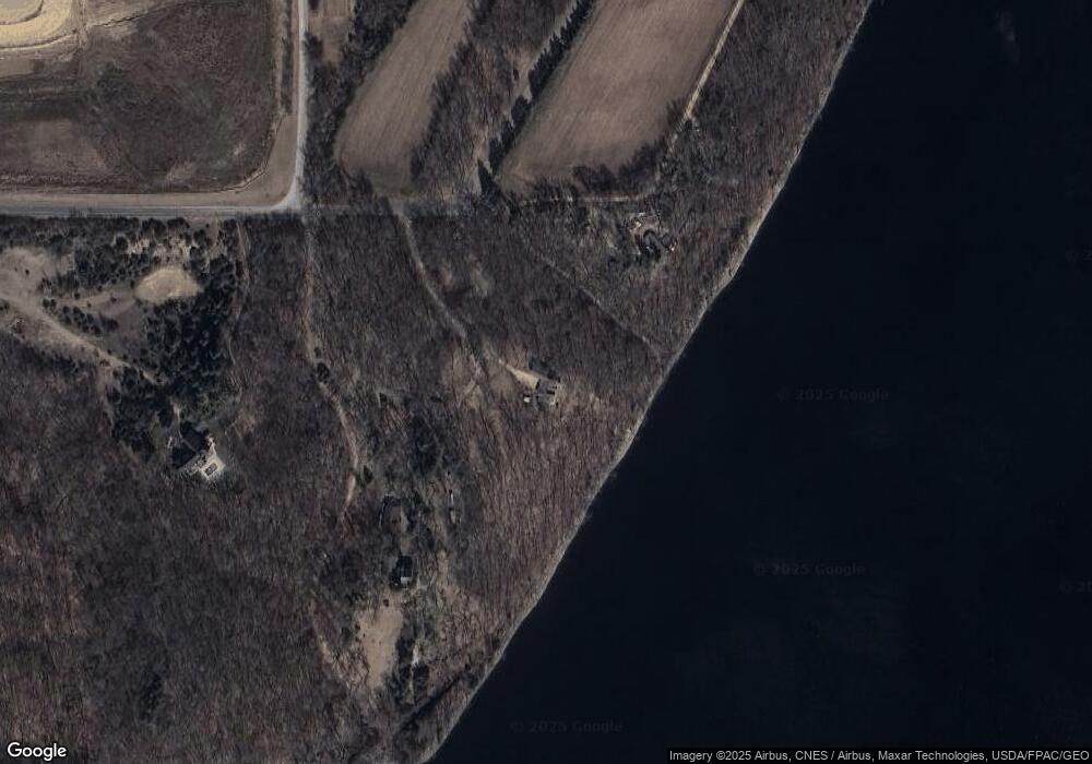
Map
Nearby Homes
- W12771 735th Ave
- 8180 Saint Croix Trail S
- 6785 104th St S
- 6744 104th St S
- 14930 70th St S
- XXX (Parcel A) 90th St S
- 14868 Panoramic Rd S
- 6848 Omar Avenue Ct S
- 11253 Saint Croix Trail S
- XX L3B2 65th St S
- XX L4B3 65th St S
- XX L1B4 65th St S
- N6493 1323rd St
- N6464 1323rd St
- N7453 County Road Qq
- 14440 59th St S
- N6386 1317th St
- 1813 Canton Rd
- 5161 Trading Post Trail S
- 833 River Terrace
- 16117 87th St S
- 16155 87th St S
- 16005 87th St S
- 8689 Quant Ave S
- 158XXX 87th St S
- 15800 87th St S
- 8535 Quant Ave S
- 8501 Quadrant Ave S
- 8487 Quant Ave S
- 8481 Quant Ave S
- 8455 Quadrant Ave S
- 8313 Quadrant Ave S
- 15745 87th St S
- 8299 Quadrant Ave S
- 15672 87th St S
- 8401 Quadrant Ave S
- W12617 770th Ave
- 8287 Quadrant Ave S
- 7625 1250th St
- N7619 1250th St