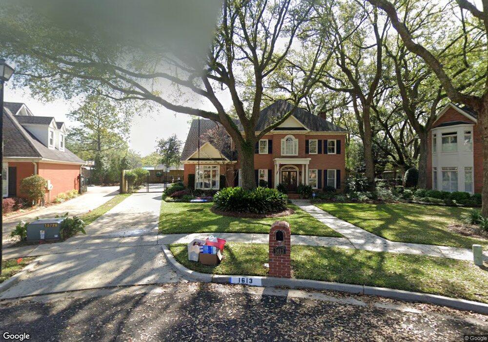
1613 Woodspointe Cir Mobile, AL 36609
Malibar Heights NeighborhoodEstimated Value: $430,563 - $560,000
5
Beds
4
Baths
3,728
Sq Ft
$134/Sq Ft
Est. Value
About This Home
This home is located at 1613 Woodspointe Cir, Mobile, AL 36609 and is currently estimated at $500,641, approximately $134 per square foot. 1613 Woodspointe Cir is a home located in Mobile County with nearby schools including Olive J. Dodge Elementary School, Burns Middle School, and WP Davidson High School.
Ownership History
Date
Name
Owned For
Owner Type
Purchase Details
Closed on
Mar 26, 2007
Sold by
Elliott David Lee and Elliott Catherine R
Bought by
Murphy John E and Murphy Amy L
Current Estimated Value
Home Financials for this Owner
Home Financials are based on the most recent Mortgage that was taken out on this home.
Original Mortgage
$382,500
Interest Rate
6%
Mortgage Type
Unknown
Create a Home Valuation Report for This Property
The Home Valuation Report is an in-depth analysis detailing your home's value as well as a comparison with similar homes in the area
Home Values in the Area
Average Home Value in this Area
Purchase History
| Date | Buyer | Sale Price | Title Company |
|---|---|---|---|
| Murphy John E | $425,000 | None Available |
Source: Public Records
Mortgage History
| Date | Status | Borrower | Loan Amount |
|---|---|---|---|
| Previous Owner | Murphy John E | $382,500 |
Source: Public Records
Tax History Compared to Growth
Tax History
| Year | Tax Paid | Tax Assessment Tax Assessment Total Assessment is a certain percentage of the fair market value that is determined by local assessors to be the total taxable value of land and additions on the property. | Land | Improvement |
|---|---|---|---|---|
| 2024 | $2,596 | $39,580 | $5,000 | $34,580 |
| 2023 | $2,240 | $36,160 | $5,000 | $31,160 |
| 2022 | $2,102 | $34,150 | $5,000 | $29,150 |
| 2021 | $2,041 | $33,180 | $5,000 | $28,180 |
| 2020 | $2,089 | $33,950 | $5,000 | $28,950 |
| 2019 | $2,117 | $34,400 | $5,000 | $29,400 |
| 2018 | $2,125 | $34,520 | $0 | $0 |
| 2017 | $2,046 | $33,280 | $0 | $0 |
| 2016 | $2,303 | $37,320 | $0 | $0 |
| 2013 | $2,431 | $38,920 | $0 | $0 |
Source: Public Records
Map
Nearby Homes
- 1701 Aspen Wood Ct
- 1609 Oak Forest Ct
- 1424 Regency Oaks Dr W
- 5833 Water Oak Ct
- 5621 Vista Bonita Dr S
- 1437 Regency Oaks Dr E
- 4458 Wolf Creek Dr N
- 1429 Regency Oaks Dr E
- 1618 Catalina Dr
- 708 Monarch Dr W
- 5709 Vendome Dr S
- 5805 Holly Hill Ct
- 5305 Oak Bend Ct
- 1933 Wildwood Place
- 1833 Spring Brook Ct
- 5717 Post Oak Ct
- 4303 Panorama Blvd
- 5854 Wood Creek Ct
- 1028 Oakland Dr
- 1005 Oakland Dr
- 1609 Woodspointe Cir
- 1612 Andover Blvd
- 1650 Andover Blvd
- 1654 Andover Blvd
- 1705 Snowmass Ct
- 1608 Andover Blvd
- 1701 Snowmass Ct
- 1605 Woodspointe Cir
- 1709 Snowmass Ct
- 1612 Woodspointe Cir
- 0 Andover Blvd
- 1658 Andover Blvd
- 1700 Snowmass Ct
- 1604 Andover Blvd
- 1608 Woodspointe Cir
- 1604 Woodspointe Cir
- 1713 Snowmass Ct
- 1704 Snowmass Ct
- 1662 Andover Blvd
- 1601 Woodspointe Cir