16135 Grove Rd Minooka, IL 60447
North Minooka NeighborhoodEstimated Value: $392,995 - $497,000
3
Beds
1
Bath
2,001
Sq Ft
$222/Sq Ft
Est. Value
About This Home
This home is located at 16135 Grove Rd, Minooka, IL 60447 and is currently estimated at $444,998, approximately $222 per square foot. 16135 Grove Rd is a home located in Kendall County with nearby schools including Jones Elementary School, Minooka Junior High School, and Minooka Intermediate School.
Ownership History
Date
Name
Owned For
Owner Type
Purchase Details
Closed on
Dec 19, 2013
Sold by
Nona Shirley and Luther Neta
Bought by
Martin Joint Venture Llc
Current Estimated Value
Purchase Details
Closed on
May 15, 2009
Sold by
Breitwieser Violet L
Bought by
Luther Neta and Kelm Janet A
Purchase Details
Closed on
Feb 27, 2009
Sold by
Luther Neta and Kelm Janet A
Bought by
Breitwieser Violet L
Purchase Details
Closed on
Nov 20, 2006
Sold by
Breitwieser Violet L
Bought by
Breitwieser Violet L and Delbert J Breitwieser Residuary Trust
Create a Home Valuation Report for This Property
The Home Valuation Report is an in-depth analysis detailing your home's value as well as a comparison with similar homes in the area
Home Values in the Area
Average Home Value in this Area
Purchase History
| Date | Buyer | Sale Price | Title Company |
|---|---|---|---|
| Martin Joint Venture Llc | $683,000 | Chicago Title Insurance Co | |
| Luther Neta | -- | None Available | |
| Breitwieser Violet L | -- | None Available | |
| Luther Neta | -- | None Available | |
| Breitwieser Violet L | -- | None Available | |
| Breitwieser Violet L | -- | None Available |
Source: Public Records
Tax History Compared to Growth
Tax History
| Year | Tax Paid | Tax Assessment Tax Assessment Total Assessment is a certain percentage of the fair market value that is determined by local assessors to be the total taxable value of land and additions on the property. | Land | Improvement |
|---|---|---|---|---|
| 2024 | $7,244 | $100,586 | $12,821 | $87,765 |
| 2023 | $6,373 | $93,013 | $12,197 | $80,816 |
| 2022 | $6,373 | $85,732 | $10,987 | $74,745 |
| 2021 | $5,232 | $68,655 | $10,947 | $57,708 |
| 2020 | $5,061 | $64,965 | $10,282 | $54,683 |
| 2019 | $4,977 | $62,427 | $9,817 | $52,610 |
| 2018 | $4,813 | $60,079 | $9,807 | $50,272 |
| 2017 | $4,772 | $57,416 | $9,797 | $47,619 |
| 2016 | $4,508 | $53,830 | $9,658 | $44,172 |
| 2015 | $3,603 | $48,676 | $9,638 | $39,038 |
| 2014 | -- | $45,423 | $9,628 | $35,795 |
| 2013 | -- | $45,413 | $9,618 | $35,795 |
Source: Public Records
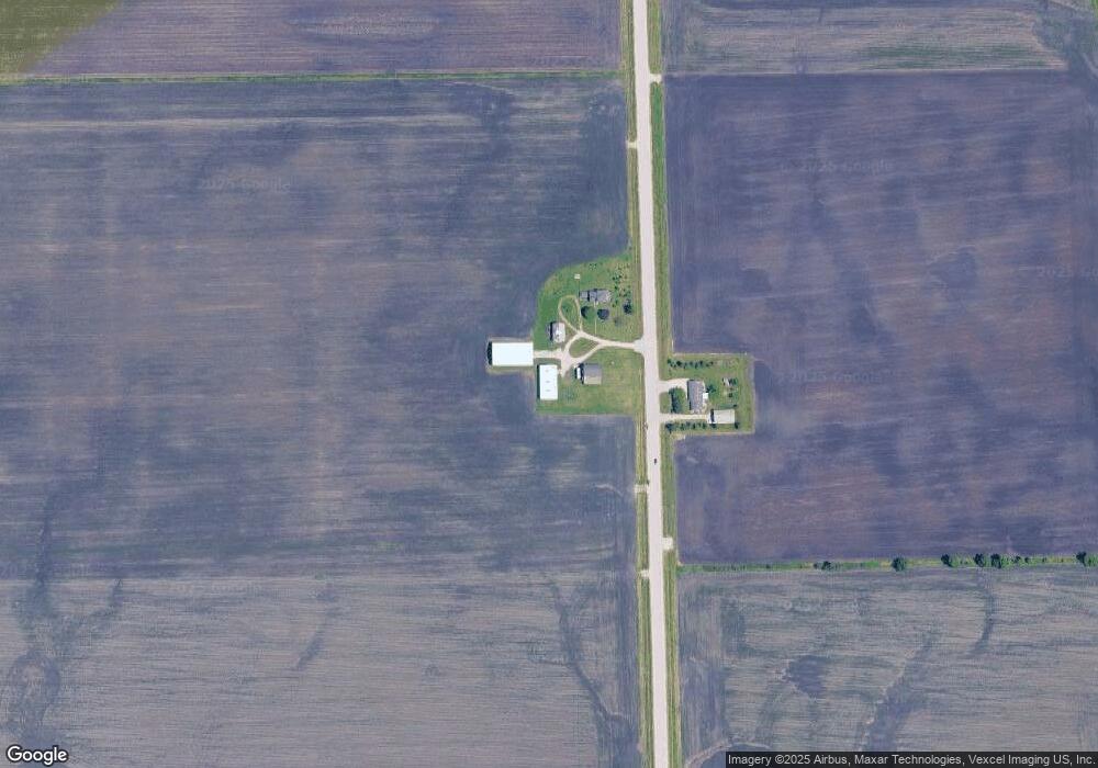
Map
Nearby Homes
- 15781 Brisbin Rd
- 15771 Brisbin Rd
- 1133 Coneflower Ct
- 2041 Isabella Ln
- 2033 Isabella
- 194 acres W Holt Rd
- Lot 1 Minooka Ridge & Jones Rd
- 2817 Ninovan Ln
- 2811 Ninovan Ln
- 2823 Ninovan Ln
- 2812 Ninovan Ln
- 2813 Ninovan Ln
- 215 Slalom Ct
- 6010 E Minooka Rd
- 16 Maple St
- 10808 N Tabler Rd
- 10810 Tabler Rd
- 10175 Brown Rd
- 814 Daniel Dr
- 819 Daniel Dr
- 16152 Grove Rd
- 16380 Grove Rd
- 16725 Grove Rd
- 4895 Bell Rd
- 4580 Bell Rd
- 5470 Bell Rd
- 4540 Bell Rd
- 1400 Brisbin Rd
- N/A Grove Rd
- 00000 Brisbin Rd
- 9999 Brisbin Rd
- 15515 Brisbin Rd
- 15509 Brisbin Rd
- 15507 Brisbin Rd
- 15505 Brisbin Rd
- 15503 Brisbin Rd
- 15501 Brisbin Rd
- 16490 Brisbin Rd
- 5651 Bell Rd
- 4312 Bell Rd