16141 Hoover Point Rd Rogers, AR 72756
Estimated Value: $993,000 - $1,354,000
5
Beds
4
Baths
4,800
Sq Ft
$250/Sq Ft
Est. Value
About This Home
This home is located at 16141 Hoover Point Rd, Rogers, AR 72756 and is currently estimated at $1,198,616, approximately $249 per square foot. 16141 Hoover Point Rd is a home located in Benton County with nearby schools including Northside Elementary School, Lingle Middle School, and Rogers Heritage High School.
Ownership History
Date
Name
Owned For
Owner Type
Purchase Details
Closed on
Dec 19, 2023
Sold by
Towmate Llc
Bought by
William Bryan Anderson Living Trust
Current Estimated Value
Purchase Details
Closed on
Nov 7, 2011
Sold by
Webster Jeffery and Webster Teena L
Bought by
Towmate Llc
Purchase Details
Closed on
Feb 18, 2004
Bought by
Webster
Purchase Details
Closed on
Aug 1, 1996
Bought by
Hoover-Troup Incl 19-2519-0
Purchase Details
Closed on
Apr 1, 1994
Bought by
Hoover
Create a Home Valuation Report for This Property
The Home Valuation Report is an in-depth analysis detailing your home's value as well as a comparison with similar homes in the area
Home Values in the Area
Average Home Value in this Area
Purchase History
| Date | Buyer | Sale Price | Title Company |
|---|---|---|---|
| William Bryan Anderson Living Trust | -- | Elite Title Company | |
| Towmate Llc | $700,000 | Elite Title Company Inc | |
| Webster | $670,000 | -- | |
| Webster | $670,000 | -- | |
| Hoover-Troup Incl 19-2519-0 | $225,000 | -- | |
| Hoover | $150,000 | -- |
Source: Public Records
Tax History Compared to Growth
Tax History
| Year | Tax Paid | Tax Assessment Tax Assessment Total Assessment is a certain percentage of the fair market value that is determined by local assessors to be the total taxable value of land and additions on the property. | Land | Improvement |
|---|---|---|---|---|
| 2024 | $7,125 | $203,428 | $23,550 | $179,878 |
| 2023 | $6,477 | $134,660 | $23,550 | $111,110 |
| 2022 | $7,112 | $134,660 | $23,550 | $111,110 |
| 2021 | $7,093 | $134,660 | $23,550 | $111,110 |
| 2020 | $6,504 | $123,140 | $13,500 | $109,640 |
| 2019 | $6,504 | $123,140 | $13,500 | $109,640 |
| 2018 | $6,504 | $123,140 | $13,500 | $109,640 |
| 2017 | $5,998 | $123,140 | $13,500 | $109,640 |
| 2016 | $5,998 | $123,140 | $13,500 | $109,640 |
| 2015 | $5,738 | $119,290 | $20,000 | $99,290 |
| 2014 | $5,813 | $119,290 | $20,000 | $99,290 |
Source: Public Records
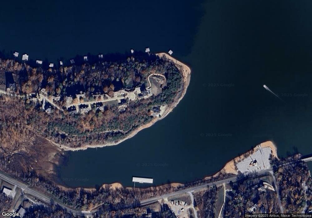
Map
Nearby Homes
- 16103 E Highway 12
- 15871 Serenity Point Ln
- TBD Beaver Shores Rd
- 8119 Beaver Shores Rd
- 8165 Old White River Rd
- 8073 Old White River Rd
- 8021 Old White River Rd
- Lots 645, 646 & 652 Dolphin Cir
- 1.05 Acres Cypress Ln
- 2.07 Acres Cypress Ln
- 62.68 Acres Cypress Ln
- Lot 565 Pine Ln
- Lot 566 Pine Ln
- Lots 1038 & 1039 Gum Ln
- Lot 599-602 Fir Ln
- 15957 Hickory Dr
- Lots 1070-1072 Gum Dr
- 0 Gum Ln
- 8002 Pine Ln
- 16830 Heritage Bay Rd
- 16098 Serenity Point Ln
- 16063 Serenity Point Ln
- 16068 Serenity Point Ln
- Lot 17 Serenity Point Ln
- 16031 Serenity Point Ln
- 16086 Serenity Point Ln
- 16001 Serenity Point Ln
- 16028 Serenity Point Ln
- 15991 Serenity Point Ln
- Highway 12 E and Beaver Shores Rd
- 16000 Serenity Point Ln
- TBD E Hwy 12
- 15982 Serenity Point Ln
- Hwy 12 E Commercial Corner Beaver Shores
- 15969 Serenity Point Ln
- 15954 Serenity Point Ln
- 15954 Serenity Point Ln
- 16217 Arkansas 12
- 16217 E Highway 12
- 8328 Eagle Crest Dr