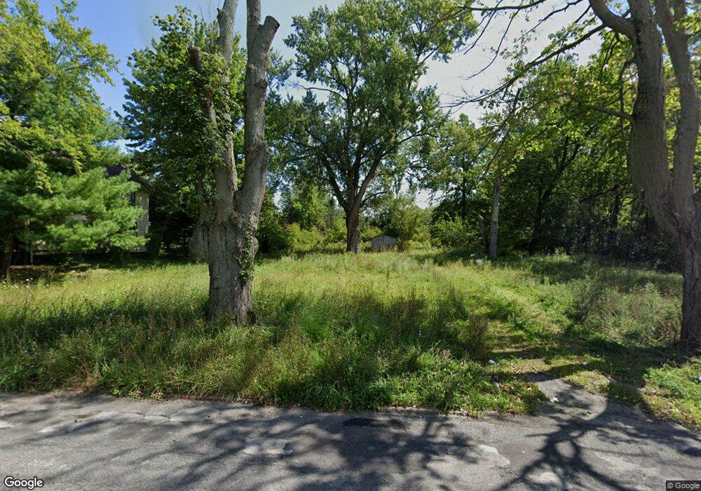
1615 Lansdowne Blvd Youngstown, OH 44505
Landsdowne NeighborhoodEstimated Value: $80,000 - $139,000
3
Beds
1
Bath
1,560
Sq Ft
$70/Sq Ft
Est. Value
About This Home
This home is located at 1615 Lansdowne Blvd, Youngstown, OH 44505 and is currently estimated at $109,500, approximately $70 per square foot. 1615 Lansdowne Blvd is a home located in Mahoning County with nearby schools including M.L. King Elementary School, Williamson Elementary School, and East High School.
Ownership History
Date
Name
Owned For
Owner Type
Purchase Details
Closed on
Feb 21, 2003
Sold by
National City Bank
Bought by
Rowlands John R
Current Estimated Value
Purchase Details
Closed on
Oct 21, 2002
Sold by
Hill George and Case #01Cv01089
Bought by
National City Bank
Purchase Details
Closed on
Feb 27, 2002
Sold by
Hill George
Bought by
National City Bank
Purchase Details
Closed on
Dec 15, 1988
Bought by
Hill George
Create a Home Valuation Report for This Property
The Home Valuation Report is an in-depth analysis detailing your home's value as well as a comparison with similar homes in the area
Home Values in the Area
Average Home Value in this Area
Purchase History
| Date | Buyer | Sale Price | Title Company |
|---|---|---|---|
| Rowlands John R | $5,000 | -- | |
| National City Bank | $11,000 | -- | |
| National City Bank | $11,000 | -- | |
| Hill George | $14,800 | -- |
Source: Public Records
Tax History
| Year | Tax Paid | Tax Assessment Tax Assessment Total Assessment is a certain percentage of the fair market value that is determined by local assessors to be the total taxable value of land and additions on the property. | Land | Improvement |
|---|---|---|---|---|
| 2025 | $463 | $310 | $310 | -- |
| 2024 | $15 | $310 | $310 | -- |
| 2023 | $15 | $310 | $310 | $0 |
| 2022 | $21 | $330 | $330 | $0 |
| 2021 | $471 | $330 | $330 | $0 |
| 2020 | $321 | $330 | $330 | $0 |
| 2019 | $21 | $300 | $300 | $0 |
| 2018 | $175 | $300 | $300 | $0 |
| 2017 | $149 | $2,050 | $1,010 | $1,040 |
| 2016 | $194 | $2,900 | $1,010 | $1,890 |
| 2015 | $200 | $2,900 | $1,010 | $1,890 |
| 2014 | $189 | $2,900 | $1,010 | $1,890 |
| 2013 | $187 | $2,900 | $1,010 | $1,890 |
Source: Public Records
Map
Nearby Homes
- 1538 Republic Ave
- 1125 N Garland Ave
- 2508 Applegate Rd
- 0 Homestead Rd
- 575 Woodside Ave
- 1003 Liberty Rd
- 598 Cassius Ave
- 21 Zents Ave Unit 29
- 2407 Trussit Ave
- 2849 McGuffey Rd
- 332 Lansdowne Blvd
- 41 Roslyn Dr
- 1720 Jacobs Rd
- 156 Halleck St
- 127 Roslyn Dr
- 1214 Brighton St
- 603 Liberty Rd
- 216 Lora Ave
- 1442-1446 Ohio Ave
- 227 Lora Ave
- 1631 Lansdowne Blvd
- 1618 Lansdowne Blvd
- 1614 Lansdowne Blvd
- 1606 Lansdowne Blvd
- 1622 Lansdowne Blvd
- 1610 Lansdowne Blvd
- 1643 Lansdowne Blvd
- 1602 Lansdowne Blvd
- 1626 Lansdowne Blvd
- 1526 Lansdowne Blvd
- 1647 Lansdowne Blvd
- 1561 Lansdowne Blvd
- 1630 Lansdowne Blvd
- 1522 Lansdowne Blvd
- 1634 Lansdowne Blvd
- 1615 Forest View Dr
- 1518 Lansdowne Blvd
- 1619 Forest View Dr
- 1611 Forest View Dr
- 1607 Forest View Dr
Your Personal Tour Guide
Ask me questions while you tour the home.