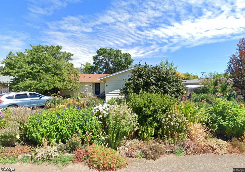
1615 NW Menlo Dr Corvallis, OR 97330
Northwest Corvallis NeighborhoodEstimated Value: $496,269 - $531,000
3
Beds
2
Baths
1,319
Sq Ft
$392/Sq Ft
Est. Value
About This Home
This home is located at 1615 NW Menlo Dr, Corvallis, OR 97330 and is currently estimated at $516,817, approximately $391 per square foot. 1615 NW Menlo Dr is a home located in Benton County with nearby schools including Garfield Elementary School, Linus Pauling Middle School, and Corvallis High School.
Ownership History
Date
Name
Owned For
Owner Type
Purchase Details
Closed on
Aug 11, 2004
Sold by
Piper Sandra Kay
Bought by
Piper Sandra K and Sandra K Piper Living Trust
Current Estimated Value
Purchase Details
Closed on
Sep 18, 2002
Sold by
Piper Sandra Kay and Enschede Sandra K
Bought by
Piper Sandra Kay
Home Financials for this Owner
Home Financials are based on the most recent Mortgage that was taken out on this home.
Original Mortgage
$63,900
Interest Rate
6.24%
Purchase Details
Closed on
Jul 2, 1997
Bought by
Piper Sandra K Tr
Create a Home Valuation Report for This Property
The Home Valuation Report is an in-depth analysis detailing your home's value as well as a comparison with similar homes in the area
Home Values in the Area
Average Home Value in this Area
Purchase History
| Date | Buyer | Sale Price | Title Company |
|---|---|---|---|
| Piper Sandra K | -- | -- | |
| Piper Sandra Kay | -- | First American Title | |
| Piper Sandra K Tr | $139,500 | -- |
Source: Public Records
Mortgage History
| Date | Status | Borrower | Loan Amount |
|---|---|---|---|
| Closed | Piper Sandra Kay | $63,900 |
Source: Public Records
Tax History Compared to Growth
Tax History
| Year | Tax Paid | Tax Assessment Tax Assessment Total Assessment is a certain percentage of the fair market value that is determined by local assessors to be the total taxable value of land and additions on the property. | Land | Improvement |
|---|---|---|---|---|
| 2024 | $4,754 | $247,488 | -- | -- |
| 2023 | $4,477 | $240,280 | $0 | $0 |
| 2022 | $4,346 | $233,282 | $0 | $0 |
| 2021 | $4,202 | $226,487 | $0 | $0 |
| 2020 | $4,058 | $219,890 | $0 | $0 |
| 2019 | $3,796 | $213,485 | $0 | $0 |
| 2018 | $3,797 | $207,267 | $0 | $0 |
| 2017 | $3,475 | $201,230 | $0 | $0 |
| 2016 | $3,406 | $195,369 | $0 | $0 |
| 2015 | $3,296 | $189,679 | $0 | $0 |
| 2014 | $3,207 | $184,154 | $0 | $0 |
| 2012 | -- | $173,583 | $0 | $0 |
Source: Public Records
Map
Nearby Homes
- 1730 NW 13th St
- 1430 NW 15th St
- 1925 NW 14th St
- 1524 NW Forestgreen Ave
- 1720 NW Division St
- 1583 NW Forestgreen Ave
- 1805 NW Grant Ave
- 1355 NW 11th St
- 1225 NW 18th St
- 2125 NW Highland Dr
- 1230 NW 23rd St
- 2040 NW 23rd St
- 1100 NW Dixon St
- 1919 NW Buchanan Ave
- 2005 NW Taylor Ave
- 935 NW Sycamore Ave
- 620 NW 19th St
- 2717 NW Rolling Green Dr
- 925 NW Sycamore Ave
- 2941 NW Elmwood Dr
- 1625 NW Menlo Dr
- 1525 NW Menlo Dr
- 1636 NW Garryanna St
- 1634 NW Garryanna St
- 1445 NW Menlo Dr
- 1705 NW Menlo Dr
- 1638 NW Garryanna St
- 1520 NW Menlo Dr
- 1510 NW Menlo Dr
- 1620 NW Menlo Dr
- 1600 NW Arthur Ave
- 1610 NW Menlo Dr
- 1622 NW Garryanna St
- 1435 NW Menlo Dr
- 1715 NW Menlo Dr
- 1440 NW Menlo Dr
- 1648 NW Garryanna St
- 1700 NW Menlo Dr
- 1625 NW Garryanna St
- 1515 NW Garfield Ave