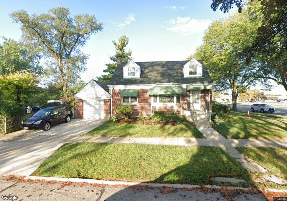
1616 Ash St Des Plaines, IL 60018
Estimated Value: $336,000 - $437,000
4
Beds
2
Baths
1,622
Sq Ft
$238/Sq Ft
Est. Value
About This Home
This home is located at 1616 Ash St, Des Plaines, IL 60018 and is currently estimated at $385,831, approximately $237 per square foot. 1616 Ash St is a home located in Cook County with nearby schools including South Elementary School, Algonquin Middle School, and Maine West High School.
Ownership History
Date
Name
Owned For
Owner Type
Purchase Details
Closed on
Aug 28, 2009
Sold by
Viscioni Beverly Ann and Anderson Katherine Mary
Bought by
Dan Samnang and Chev Konthea
Current Estimated Value
Home Financials for this Owner
Home Financials are based on the most recent Mortgage that was taken out on this home.
Original Mortgage
$196,377
Outstanding Balance
$129,016
Interest Rate
5.28%
Mortgage Type
FHA
Estimated Equity
$256,815
Create a Home Valuation Report for This Property
The Home Valuation Report is an in-depth analysis detailing your home's value as well as a comparison with similar homes in the area
Home Values in the Area
Average Home Value in this Area
Purchase History
| Date | Buyer | Sale Price | Title Company |
|---|---|---|---|
| Dan Samnang | $200,000 | Ticor Title Insurance Co |
Source: Public Records
Mortgage History
| Date | Status | Borrower | Loan Amount |
|---|---|---|---|
| Open | Dan Samnang | $196,377 |
Source: Public Records
Tax History Compared to Growth
Tax History
| Year | Tax Paid | Tax Assessment Tax Assessment Total Assessment is a certain percentage of the fair market value that is determined by local assessors to be the total taxable value of land and additions on the property. | Land | Improvement |
|---|---|---|---|---|
| 2024 | $7,903 | $33,291 | $5,215 | $28,076 |
| 2023 | $7,686 | $33,291 | $5,215 | $28,076 |
| 2022 | $7,686 | $33,291 | $5,215 | $28,076 |
| 2021 | $5,254 | $20,422 | $4,294 | $16,128 |
| 2020 | $5,234 | $20,422 | $4,294 | $16,128 |
| 2019 | $5,253 | $22,947 | $4,294 | $18,653 |
| 2018 | $6,035 | $23,615 | $3,681 | $19,934 |
| 2017 | $5,946 | $23,615 | $3,681 | $19,934 |
| 2016 | $6,155 | $24,647 | $3,681 | $20,966 |
| 2015 | $5,875 | $22,058 | $3,220 | $18,838 |
| 2014 | $4,714 | $18,498 | $3,220 | $15,278 |
| 2013 | $4,579 | $18,498 | $3,220 | $15,278 |
Source: Public Records
Map
Nearby Homes
- 1632 S Elm St
- 1689 S Elm St
- 1783 Lee St
- 1724 Illinois St
- 1050 E Oakton St
- 991 Wicke Ave
- 1721 Linden St
- 1536 Orchard St
- 2017 Pine St Unit B
- 1394 Carol Ln
- 1489 E Algonquin Rd
- 1700 E Forest Ave
- 807 Fairmont Ct
- 2131 Ash St Unit G
- 773 E Lincoln Ave
- 2025 Plainfield Dr
- 1640 S River Rd
- 1928 Kennicott Ct
- 1278 E River Dr
- 1365 Ashland Ave Unit 302
- 1283 E Oakton St
- 1275 E Oakton St
- 1632 Ash St
- 1271 E Oakton St
- 1638 Ash St
- 1641 Ash St
- 1263 E Oakton St
- 1646 Ash St
- 1310 Hazel Ct
- 1633 Spruce Ave
- 1319 E Oakton St
- 1319 E Oakton St
- 1617 Spruce Ave
- 1318 Hazel Ct
- 1639 Spruce Ave
- 1654 Ash St
- 1327 E Oakton St
- 1327 E Oakton St
- 1647 Spruce Ave
- 1324 Hazel Ct