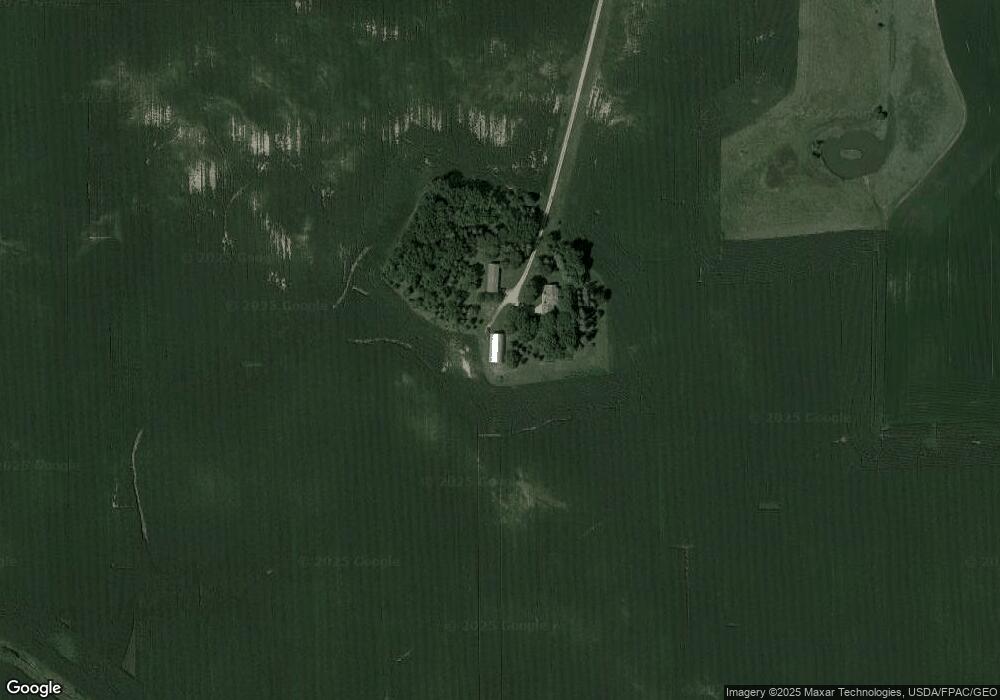
16161 120th St Brownton, MN 55312
Estimated Value: $334,000 - $477,000
3
Beds
1
Bath
2,656
Sq Ft
$161/Sq Ft
Est. Value
About This Home
This home is located at 16161 120th St, Brownton, MN 55312 and is currently estimated at $427,283, approximately $160 per square foot. 16161 120th St is a home located in McLeod County with nearby schools including Lincoln Elementary School, Lakeside Elementary School, and Glencoe-Silver Lake Jr. High School.
Ownership History
Date
Name
Owned For
Owner Type
Purchase Details
Closed on
Jun 7, 2019
Sold by
Krcil Robert E and Krcil Joyce
Bought by
Neubauer Brent J and Niles Jenna L
Current Estimated Value
Home Financials for this Owner
Home Financials are based on the most recent Mortgage that was taken out on this home.
Original Mortgage
$227,905
Outstanding Balance
$200,384
Interest Rate
4.1%
Mortgage Type
New Conventional
Estimated Equity
$226,899
Purchase Details
Closed on
Jan 4, 2006
Sold by
Miska Lyle J and Miska Lyle James
Bought by
Miska Gladys A
Create a Home Valuation Report for This Property
The Home Valuation Report is an in-depth analysis detailing your home's value as well as a comparison with similar homes in the area
Home Values in the Area
Average Home Value in this Area
Purchase History
| Date | Buyer | Sale Price | Title Company |
|---|---|---|---|
| Neubauer Brent J | $239,900 | Title Mark Hutchinson | |
| Miska Gladys A | -- | -- |
Source: Public Records
Mortgage History
| Date | Status | Borrower | Loan Amount |
|---|---|---|---|
| Open | Neubauer Brent J | $227,905 |
Source: Public Records
Tax History Compared to Growth
Tax History
| Year | Tax Paid | Tax Assessment Tax Assessment Total Assessment is a certain percentage of the fair market value that is determined by local assessors to be the total taxable value of land and additions on the property. | Land | Improvement |
|---|---|---|---|---|
| 2024 | $3,222 | $398,100 | $134,700 | $263,400 |
| 2023 | $3,208 | $398,100 | $134,700 | $263,400 |
| 2022 | $3,034 | $394,900 | $134,700 | $260,200 |
| 2021 | $3,058 | $309,500 | $103,500 | $206,000 |
| 2020 | $2,988 | $309,500 | $103,500 | $206,000 |
| 2019 | $2,884 | $295,400 | $92,200 | $203,200 |
| 2018 | $2,476 | $0 | $0 | $0 |
| 2017 | $2,162 | $0 | $0 | $0 |
| 2016 | $2,126 | $0 | $0 | $0 |
| 2015 | $1,216 | $0 | $0 | $0 |
| 2014 | -- | $0 | $0 | $0 |
Source: Public Records
Map
Nearby Homes
- 16452 90th St
- 13198 100th St
- 11742 Sunset Cir
- 11655 Sunset Cir
- Lot 2 Tagus Ave
- 237 5th St N
- 752 2nd St N
- 531 2nd St N
- 304 1st Ave N
- xxx Lot 3 Division St W
- 221 3rd Ave S
- 122 2nd Ave S
- 15092 Highway 15 S
- 7900 Lace Ave
- 7612 Plum Ave
- 7900 Lace Ave N
- Lot 2 U S Highway 212
- XXX US Hwy 212
- xxx Lot 2 Us Hwy 212
- 511 Southfork Cir SE
- 16161 120th St
- 16161 120th St
- 16161 120th St
- 15968 120th St
- 16665 120th St
- 16182 110th St
- 15631 120th St
- 15631 120th St
- 16484 120th St
- 16638 120th St
- 11598 Nickle Ave
- 11564 Nickle Ave
- 15968 110th St
- 15786 110th St
- 15786 110th St
- 15786 110th St
- 11607 Page Ave
- 15873 110th St
- 15873 110th St
- 15873 110th St