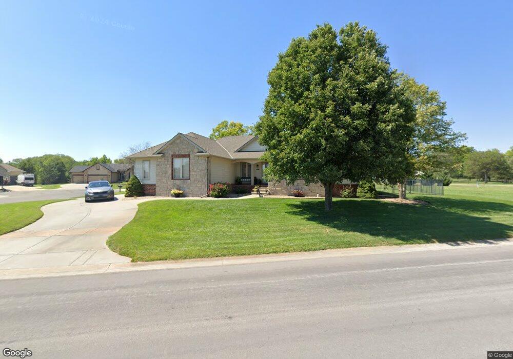
1617 Aspen Creek Dr Andover, KS 67002
Estimated Value: $398,598 - $415,000
5
Beds
3
Baths
2,885
Sq Ft
$141/Sq Ft
Est. Value
About This Home
This home is located at 1617 Aspen Creek Dr, Andover, KS 67002 and is currently estimated at $407,150, approximately $141 per square foot. 1617 Aspen Creek Dr is a home located in Butler County with nearby schools including Prairie Creek Elementary School, Andover Central Middle School, and Andover Central High School.
Ownership History
Date
Name
Owned For
Owner Type
Purchase Details
Closed on
Aug 28, 2020
Sold by
Orchard James A and Orchard Sherry L
Bought by
Collinsworth Cleve D and Collinsworth Kacy A
Current Estimated Value
Home Financials for this Owner
Home Financials are based on the most recent Mortgage that was taken out on this home.
Original Mortgage
$295,548
Outstanding Balance
$261,581
Interest Rate
3%
Mortgage Type
FHA
Estimated Equity
$145,569
Create a Home Valuation Report for This Property
The Home Valuation Report is an in-depth analysis detailing your home's value as well as a comparison with similar homes in the area
Home Values in the Area
Average Home Value in this Area
Purchase History
| Date | Buyer | Sale Price | Title Company |
|---|---|---|---|
| Collinsworth Cleve D | -- | Security 1St Title Llc | |
| Collinsworth Cleve D | $298,503 | Security First Title |
Source: Public Records
Mortgage History
| Date | Status | Borrower | Loan Amount |
|---|---|---|---|
| Open | Collinsworth Cleve D | $295,548 | |
| Closed | Collinsworth Cleve D | $295,548 |
Source: Public Records
Tax History Compared to Growth
Tax History
| Year | Tax Paid | Tax Assessment Tax Assessment Total Assessment is a certain percentage of the fair market value that is determined by local assessors to be the total taxable value of land and additions on the property. | Land | Improvement |
|---|---|---|---|---|
| 2025 | $68 | $45,114 | $3,429 | $41,685 |
| 2024 | $68 | $45,281 | $3,429 | $41,852 |
| 2023 | $6,744 | $44,742 | $5,372 | $39,370 |
| 2022 | $5,266 | $38,571 | $3,459 | $35,112 |
| 2021 | $5,266 | $33,453 | $3,459 | $29,994 |
| 2020 | $5,186 | $31,970 | $3,459 | $28,511 |
| 2019 | $5,266 | $32,165 | $3,459 | $28,706 |
| 2018 | $5,288 | $32,434 | $3,804 | $28,630 |
| 2017 | $5,400 | $33,119 | $4,493 | $28,626 |
| 2014 | -- | $264,790 | $40,570 | $224,220 |
Source: Public Records
Map
Nearby Homes
- 607 Aspen Creek Ct
- 15490 SW 120th St
- 210 E Kerry Lynn Dr
- 1612 S Logan Pass
- 1427 E Timber Falls Ct
- 520 Hedgewood Ct
- 817 E Hedgewood St
- 717 E Minneha Ave
- 1662 S Logan Pass
- 707 S Hedgewood Cir
- 730 S Westview Cir
- 721 W Goldfinch Ct
- 1548 S Meadowhaven St
- 721 S Westview Cir
- 318 W Tuscany Dr
- Churchill Plan at Flint Hills National
- 415 W Pepper Ridge Cir
- 2246 S Nicole Cir
- 2245 S Nicole Cir
- Independence Plan at Tuscany
- 518 Aspen Creek Ct
- 1607 Aspen Creek Dr
- 515 Aspen Creek Ct
- 511 Aspen Creek Ct
- 1616 Aspen Creek Dr
- 612 Aspen Creek Ct
- 1636 Aspen Creek Dr
- 1608 Aspen Creek Dr
- 1633 Aspen Creek Dr
- 616 Aspen Creek Ct
- 1650 Aspen Creek Dr
- 620 Aspen Creek Ct
- 615 Aspen Creek Ct
- 1708 Aspen Creek Dr
- 1701 Aspen Creek Dr
- 418 E Harry St
- 1714 Aspen Creek Dr
- 1707 Aspen Creek Dr
- 1550 S Phyllis Ln
- 1720 Aspen Creek Dr