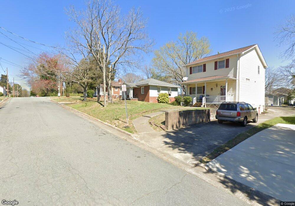
1617 Cannon Ave Winston Salem, NC 27105
West Highlands NeighborhoodEstimated Value: $87,147 - $183,000
2
Beds
1
Bath
750
Sq Ft
$173/Sq Ft
Est. Value
About This Home
This home is located at 1617 Cannon Ave, Winston Salem, NC 27105 and is currently estimated at $129,787, approximately $173 per square foot. 1617 Cannon Ave is a home located in Forsyth County with nearby schools including Cook Literacy Model School, Paisley IB Magnet School, and Mount Tabor High School.
Ownership History
Date
Name
Owned For
Owner Type
Purchase Details
Closed on
Dec 21, 2016
Sold by
Shaw James W and Shaw Clementine B
Bought by
Elliott David A and Elliott Kathleen M
Current Estimated Value
Home Financials for this Owner
Home Financials are based on the most recent Mortgage that was taken out on this home.
Original Mortgage
$68,340
Outstanding Balance
$55,268
Interest Rate
3.57%
Mortgage Type
Future Advance Clause Open End Mortgage
Estimated Equity
$74,519
Purchase Details
Closed on
Jun 11, 1999
Sold by
Martin John H
Bought by
Shaw James W and Shaw Clementine B
Create a Home Valuation Report for This Property
The Home Valuation Report is an in-depth analysis detailing your home's value as well as a comparison with similar homes in the area
Home Values in the Area
Average Home Value in this Area
Purchase History
| Date | Buyer | Sale Price | Title Company |
|---|---|---|---|
| Elliott David A | $80,000 | Chicago Title Insurance Comp | |
| Shaw James W | $20,000 | -- |
Source: Public Records
Mortgage History
| Date | Status | Borrower | Loan Amount |
|---|---|---|---|
| Open | Elliott David A | $68,340 |
Source: Public Records
Tax History Compared to Growth
Tax History
| Year | Tax Paid | Tax Assessment Tax Assessment Total Assessment is a certain percentage of the fair market value that is determined by local assessors to be the total taxable value of land and additions on the property. | Land | Improvement |
|---|---|---|---|---|
| 2024 | $419 | $31,300 | $8,000 | $23,300 |
| 2023 | $419 | $31,300 | $8,000 | $23,300 |
| 2022 | $411 | $31,300 | $8,000 | $23,300 |
| 2021 | $404 | $31,300 | $8,000 | $23,300 |
| 2020 | $244 | $17,700 | $6,000 | $11,700 |
| 2019 | $246 | $17,700 | $6,000 | $11,700 |
| 2018 | $234 | $17,700 | $6,000 | $11,700 |
| 2016 | $387 | $29,351 | $6,000 | $23,351 |
| 2015 | $381 | $29,351 | $6,000 | $23,351 |
| 2014 | $370 | $29,351 | $6,000 | $23,351 |
Source: Public Records
Map
Nearby Homes
- 1718 Thurmond St
- 909 Roosevelt St
- 1620 N Cherry St
- 1624 N Cherry St
- 931 Pittsburg Ave
- 809 Garfield Ct
- 408 W 23rd St
- 506 W 26th St
- 1067 E Kent Rd
- 1045 Wendover Cir
- 2633 N Cherry St
- 1117 Rundell St
- 1029 Rundell St
- 1021 Kent Mews Ct
- 1022 Rundell St
- 1035 Deepwood Ct
- 1365 Reynolda Rd
- 1760 Richard Allen Ln NW
- 1772 Richard Allen Ln
- 1756 Meadowbrook Dr
- 1613 Cannon Ave
- 1621 Cannon Ave
- 1609 Cannon Ave
- 1610 Cannon Ave
- 900 Taft St
- 1607 Cannon Ave
- 1706 Grant Ave
- 1614 Thurmond St
- 1620 Thurmond St
- 904 Taft St
- 1618 Thurmond St
- 1708 Grant Ave
- 1600 Thurmond St
- 908 Taft St
- 1710 Grant Ave
- 1704 Cannon Ave
- 909 Gillette St
- 1700 Thurmond St
- 912 Taft St
- 905 Taft St