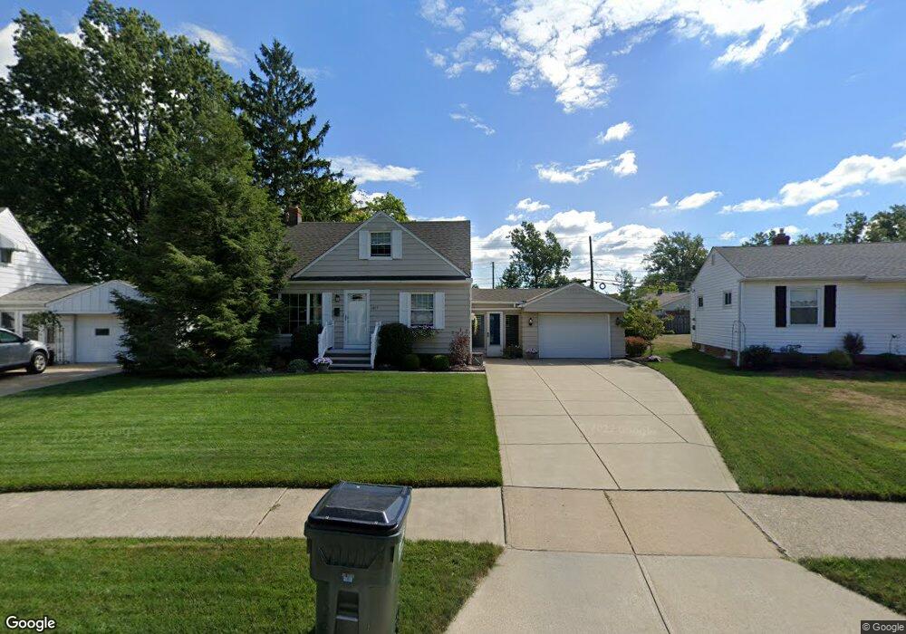
1617 Dennis Dr Wickliffe, OH 44092
Estimated Value: $176,000 - $221,000
2
Beds
1
Bath
752
Sq Ft
$258/Sq Ft
Est. Value
About This Home
This home is located at 1617 Dennis Dr, Wickliffe, OH 44092 and is currently estimated at $193,727, approximately $257 per square foot. 1617 Dennis Dr is a home located in Lake County with nearby schools including Wickliffe Elementary School, Wickliffe Middle School, and Wickliffe High School.
Ownership History
Date
Name
Owned For
Owner Type
Purchase Details
Closed on
Mar 28, 2007
Sold by
Dale Jeffrey A
Bought by
Dale Sharon
Current Estimated Value
Purchase Details
Closed on
Jun 28, 1997
Sold by
Prokop Anthony J and Prokop Sophie
Bought by
Dale Jeffrey A and Dale Sharon
Home Financials for this Owner
Home Financials are based on the most recent Mortgage that was taken out on this home.
Original Mortgage
$94,430
Interest Rate
8%
Purchase Details
Closed on
Jan 1, 1990
Bought by
Prokop Anthony J
Create a Home Valuation Report for This Property
The Home Valuation Report is an in-depth analysis detailing your home's value as well as a comparison with similar homes in the area
Home Values in the Area
Average Home Value in this Area
Purchase History
| Date | Buyer | Sale Price | Title Company |
|---|---|---|---|
| Dale Sharon | -- | Accommodation | |
| Dale Jeffrey A | $99,400 | Real Estate Title | |
| Prokop Anthony J | -- | -- |
Source: Public Records
Mortgage History
| Date | Status | Borrower | Loan Amount |
|---|---|---|---|
| Previous Owner | Dale Jeffrey A | $94,430 |
Source: Public Records
Tax History Compared to Growth
Tax History
| Year | Tax Paid | Tax Assessment Tax Assessment Total Assessment is a certain percentage of the fair market value that is determined by local assessors to be the total taxable value of land and additions on the property. | Land | Improvement |
|---|---|---|---|---|
| 2024 | -- | $55,260 | $18,460 | $36,800 |
| 2023 | $4,853 | $39,460 | $15,970 | $23,490 |
| 2022 | $2,831 | $39,460 | $15,970 | $23,490 |
| 2021 | $2,842 | $39,460 | $15,970 | $23,490 |
| 2020 | $2,676 | $31,570 | $12,780 | $18,790 |
| 2019 | $2,675 | $31,570 | $12,780 | $18,790 |
| 2018 | $2,448 | $36,670 | $15,430 | $21,240 |
| 2017 | $2,581 | $36,670 | $15,430 | $21,240 |
| 2016 | $2,568 | $36,670 | $15,430 | $21,240 |
| 2015 | $2,523 | $36,670 | $15,430 | $21,240 |
| 2014 | $2,222 | $36,670 | $15,430 | $21,240 |
| 2013 | $2,221 | $36,670 | $15,430 | $21,240 |
Source: Public Records
Map
Nearby Homes
- 1590 Dennis Dr
- 30530 Grant St
- 1648 Douglas Rd
- 1711 Rush Rd
- 1560 Douglas Rd
- 30335 Euclid Ave Unit 7
- 30335 Euclid Ave Unit 50
- 1569 Douglas Rd
- 1737 Drenik Dr
- 34345 Giovanni Ave
- 5218 Liberty Ln Unit A
- 5510 Wildwood Ct Unit 81-A
- 5131 Liberty Ln Unit B
- 1842 Eldon Dr
- 1847 Eldon Dr
- 5084 Shepherds Glen
- 5082 Shepherds Glen
- 5080 Shepherds Glen
- 5078 Shepherds Glen
- 5076 Shepherds Glen
- 1623 Dennis Dr
- 1613 Dennis Dr
- 1629 Dennis Dr
- 1628 Empire Rd
- 1624 Empire Rd
- 1609 Dennis Dr
- 1634 Empire Rd
- 1620 Empire Rd
- 1635 Dennis Dr
- 1638 Empire Rd
- 1614 Empire Rd
- 1610 Dennis Dr
- 1605 Dennis Dr
- 1618 Dennis Dr
- 1644 Empire Rd
- 1608 Empire Rd
- 1624 Dennis Dr
- 1641 Dennis Dr
- 1630 Dennis Dr
- 30528 Severn Ln