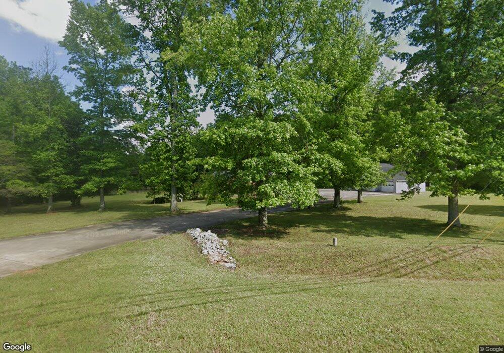
1617 Highway 29 N Newnan, GA 30263
Estimated Value: $511,000 - $580,000
3
Beds
3
Baths
2,836
Sq Ft
$193/Sq Ft
Est. Value
About This Home
This home is located at 1617 Highway 29 N, Newnan, GA 30263 and is currently estimated at $548,457, approximately $193 per square foot. 1617 Highway 29 N is a home located in Coweta County with nearby schools including Northside Elementary School, Madras Middle School, and Newnan High School.
Ownership History
Date
Name
Owned For
Owner Type
Purchase Details
Closed on
Aug 28, 2015
Sold by
Bible Baptist Church Of Newnan Inc
Bought by
Rhodes C Joel
Current Estimated Value
Purchase Details
Closed on
Oct 6, 2008
Sold by
Bible Baptist Ch Of Newnan Inc
Bought by
Tippens James G
Home Financials for this Owner
Home Financials are based on the most recent Mortgage that was taken out on this home.
Original Mortgage
$157,200
Interest Rate
6.36%
Mortgage Type
New Conventional
Purchase Details
Closed on
Dec 13, 2001
Sold by
Winne Peter H and Winne Eliz
Bought by
Bible Baptist Church Of Newnan Inc
Purchase Details
Closed on
Dec 7, 1992
Bought by
Winne Peter H and Winne Eliz
Create a Home Valuation Report for This Property
The Home Valuation Report is an in-depth analysis detailing your home's value as well as a comparison with similar homes in the area
Home Values in the Area
Average Home Value in this Area
Purchase History
| Date | Buyer | Sale Price | Title Company |
|---|---|---|---|
| Rhodes C Joel | $225,000 | -- | |
| Bible Baptist Church Of Newnan Inc | $126,911 | -- | |
| Tippens James G | $196,500 | -- | |
| Bible Baptist Church Of Newnan Inc | $195,000 | -- | |
| Winne Peter H | $125,000 | -- |
Source: Public Records
Mortgage History
| Date | Status | Borrower | Loan Amount |
|---|---|---|---|
| Previous Owner | Tippens James G | $157,200 |
Source: Public Records
Tax History Compared to Growth
Tax History
| Year | Tax Paid | Tax Assessment Tax Assessment Total Assessment is a certain percentage of the fair market value that is determined by local assessors to be the total taxable value of land and additions on the property. | Land | Improvement |
|---|---|---|---|---|
| 2024 | $2,140 | $171,797 | $15,710 | $156,087 |
| 2023 | $2,140 | $179,686 | $18,736 | $160,950 |
| 2022 | $1,453 | $137,077 | $14,412 | $122,665 |
| 2021 | $1,179 | $123,028 | $13,726 | $109,302 |
| 2020 | $1,180 | $123,028 | $13,726 | $109,302 |
| 2019 | $1,283 | $98,163 | $18,106 | $80,057 |
| 2018 | $1,288 | $98,163 | $18,106 | $80,057 |
| 2017 | $1,287 | $98,163 | $18,106 | $80,057 |
| 2016 | $1,020 | $98,163 | $18,106 | $80,057 |
| 2015 | $2,795 | $98,163 | $18,106 | $80,057 |
| 2014 | $3,071 | $98,163 | $18,106 | $80,057 |
Source: Public Records
Map
Nearby Homes
- 8 Pine Ridge Dr
- 4 Golf Ln
- 42 Club Cresswind Dr
- 33 Churchill Park Dr
- 27 Churchill Park Dr
- 2335 Highway 29n
- 67 Seabiscuit Ct
- 715 Herring Rd
- 63 Seabiscuit Ct
- 21 Riva Ridge Ln
- 21 Mill Ridge Place
- 252 Happy Valley Cir
- 62 Seabiscuit Ct
- 890 Herring Rd
- 7 Red Bud Trail
- 10 Hardin Ct Unit LOT 17
- 8 Hardin Ct Unit LOT 16
- 15 Cloverhurst Dr Unit LOT 15
- 17 Cloverhurst Dr Unit LOT 14
- 350 Brentwood Dr Unit 25
- 138 Green Top Rd
- 1608 Highway 29 N
- 65 Barclay Ct
- 80 Green Top Rd
- 55 Barclay Ct
- 91 Green Top Rd
- 70 Barclay Ct
- 45 Barclay Ct
- 60 Barclay Ct
- 29 Heritage Trace
- 27 Heritage Trace
- 39 Hal Jones Rd
- 57 Hal Jones Rd
- 73 Hal Jones Rd
- 1725 U S 29
- 50 Barclay Ct
- 1732 Highway 29 N
- 83 Hal Jones Rd
- 0 Barclay Ct
- 26 Heritage Trace
