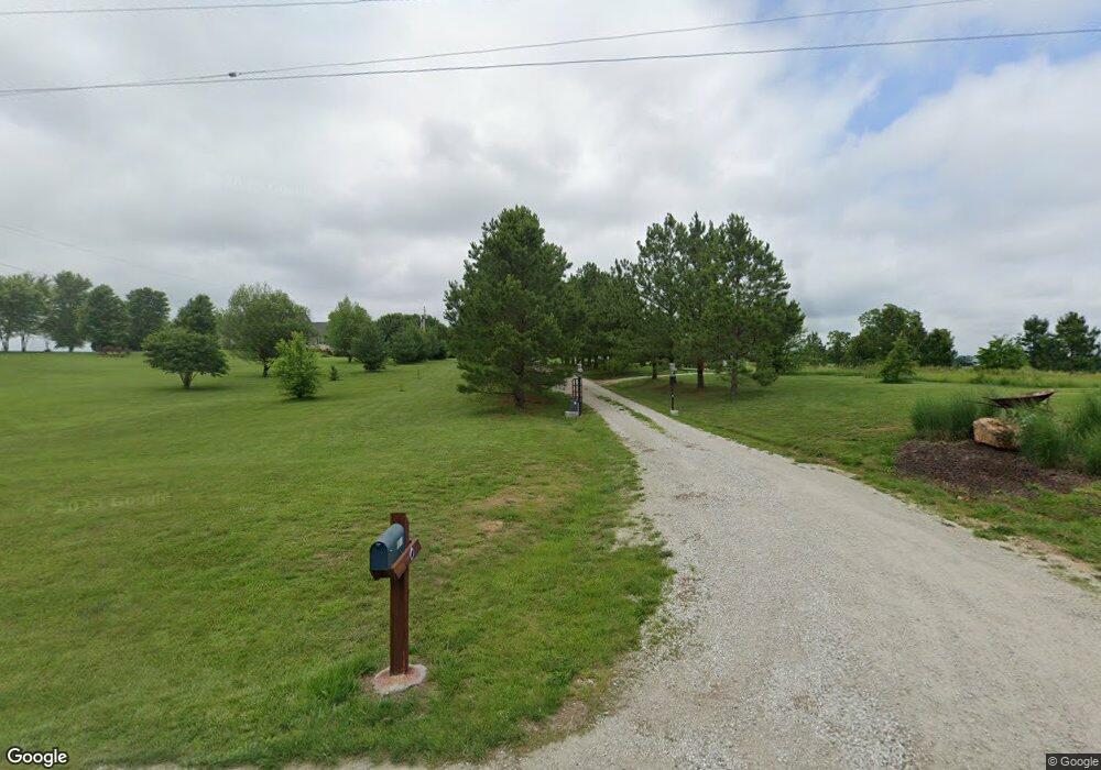
1617 Highway Tt Saint Clair, MO 63077
Estimated Value: $308,507 - $625,000
2
Beds
4
Baths
1,686
Sq Ft
$258/Sq Ft
Est. Value
About This Home
This home is located at 1617 Highway Tt, Saint Clair, MO 63077 and is currently estimated at $434,169, approximately $257 per square foot. 1617 Highway Tt is a home located in Franklin County with nearby schools including St. Clair Elementary School, Edgar Murray Elementary School, and St. Clair Junior High School.
Ownership History
Date
Name
Owned For
Owner Type
Purchase Details
Closed on
Apr 11, 2006
Sold by
Johnson Nels A
Bought by
Davis Jeffrey T and Davis Tracy E
Current Estimated Value
Create a Home Valuation Report for This Property
The Home Valuation Report is an in-depth analysis detailing your home's value as well as a comparison with similar homes in the area
Purchase History
| Date | Buyer | Sale Price | Title Company |
|---|---|---|---|
| Davis Jeffrey T | -- | None Available |
Source: Public Records
Tax History
| Year | Tax Paid | Tax Assessment Tax Assessment Total Assessment is a certain percentage of the fair market value that is determined by local assessors to be the total taxable value of land and additions on the property. | Land | Improvement |
|---|---|---|---|---|
| 2025 | $2,959 | $48,894 | $0 | $0 |
| 2024 | $2,959 | $43,746 | $0 | $0 |
| 2023 | $2,385 | $43,746 | $0 | $0 |
| 2022 | $2,551 | $46,640 | $0 | $0 |
| 2021 | $2,547 | $46,640 | $0 | $0 |
| 2020 | $2,380 | $41,793 | $0 | $0 |
| 2019 | $2,358 | $41,793 | $0 | $0 |
| 2018 | $2,170 | $37,976 | $0 | $0 |
| 2017 | $2,168 | $37,976 | $0 | $0 |
| 2016 | $1,985 | $34,717 | $0 | $0 |
| 2015 | $1,823 | $34,717 | $0 | $0 |
| 2014 | $1,846 | $35,074 | $0 | $0 |
Source: Public Records
Map
Nearby Homes
- 3335 Iron Hill Rd
- 1557 Mill Hill Rd
- 909 Q Ave
- 1336 Casey Ave
- 605 N Main St
- 111 Stone Ledge Dr
- 0 Gravois Rd Unit 11555468
- 325 Iris Ct
- 390 Highway Dr
- 322 Cart Path Ln
- 285 E Oak St
- 555 Mulligan Ct
- 330 Young St
- Parkway Dr
- 0000 Commercial Ave
- 2131 Oakshire Farm
- 208 Mosley Ave
- 5 Lots Mosley Ave
- 20 W Springfield Rd
- 315 W Oak St
- 1585 Highway Tt
- 1601 Highway Tt
- 820 Brush Creek Rd
- 1667 Highway Tt
- 1633 Highway Tt
- 901 Brush Creek Rd
- 1566 Highway Tt
- 987 Brush Creek Rd
- 200acres Brush Creek Rd
- 1003 Brush Creek Rd
- 1500 Highway Tt
- 1011 Brush Creek Rd
- 1483 Highway Tt
- 1666 Highway Tt
- 1029 Brush Creek Rd
- 1484 Highway Tt
- 573 Brush Creek Rd
- 1474 Highway Tt
- 554 Rosewood
- 1051 Brush Creek Rd
Your Personal Tour Guide
Ask me questions while you tour the home.