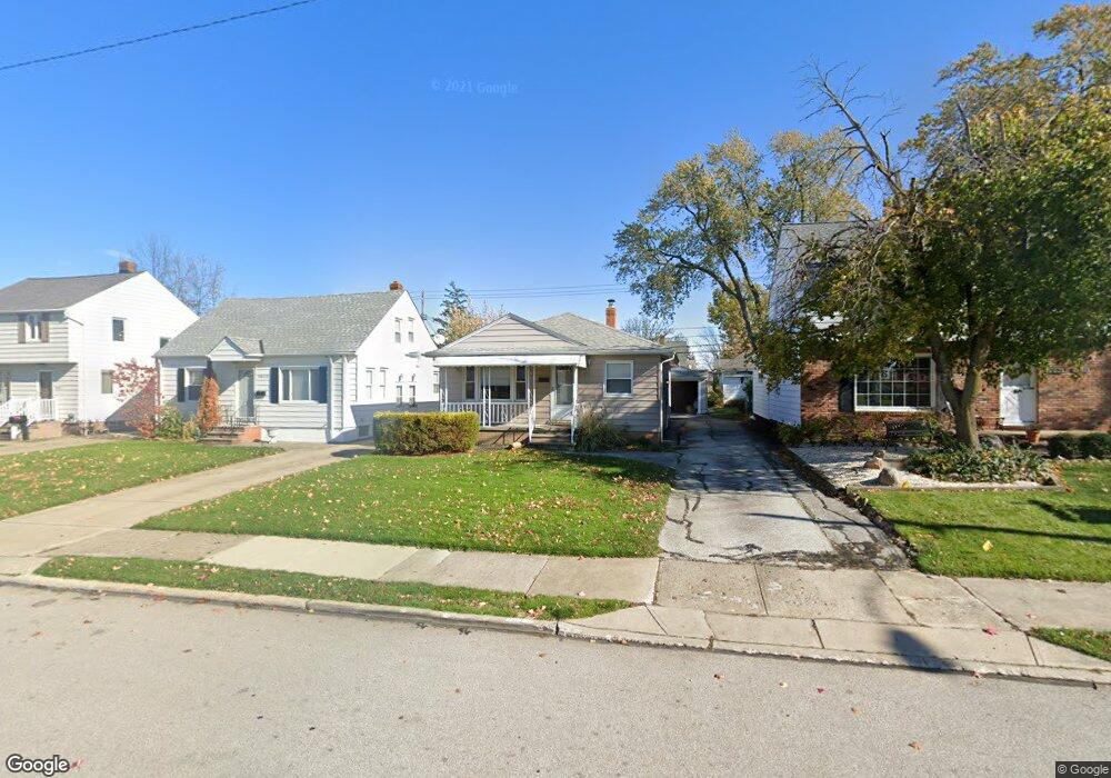
1617 Woodhurst Ave Cleveland, OH 44124
Estimated Value: $154,000 - $230,000
3
Beds
1
Bath
988
Sq Ft
$195/Sq Ft
Est. Value
About This Home
This home is located at 1617 Woodhurst Ave, Cleveland, OH 44124 and is currently estimated at $192,559, approximately $194 per square foot. 1617 Woodhurst Ave is a home located in Cuyahoga County with nearby schools including Mayfield High School, Corpus Christi Academy, and Gilmour Academy.
Ownership History
Date
Name
Owned For
Owner Type
Purchase Details
Closed on
May 17, 2007
Sold by
Wells Fargo Bank Minnestoa Na
Bought by
Calabrese Renzo
Current Estimated Value
Purchase Details
Closed on
Feb 28, 2007
Sold by
Delsanter Donald A and Delsanter Denise Carol
Bought by
Wells Fargo Bank Na
Purchase Details
Closed on
Jul 8, 1981
Sold by
Delsanter Donald A and Delsanter Mary A
Bought by
Delsanter Mary A
Purchase Details
Closed on
Jan 1, 1975
Bought by
Delsanter Donald A and Delsanter Mary A
Create a Home Valuation Report for This Property
The Home Valuation Report is an in-depth analysis detailing your home's value as well as a comparison with similar homes in the area
Home Values in the Area
Average Home Value in this Area
Purchase History
| Date | Buyer | Sale Price | Title Company |
|---|---|---|---|
| Calabrese Renzo | $83,000 | Resource Title Agency | |
| Wells Fargo Bank Na | $80,000 | Attorney | |
| Delsanter Mary A | -- | -- | |
| Delsanter Donald A | -- | -- |
Source: Public Records
Tax History Compared to Growth
Tax History
| Year | Tax Paid | Tax Assessment Tax Assessment Total Assessment is a certain percentage of the fair market value that is determined by local assessors to be the total taxable value of land and additions on the property. | Land | Improvement |
|---|---|---|---|---|
| 2024 | $3,459 | $51,800 | $9,835 | $41,965 |
| 2023 | $2,705 | $37,210 | $9,100 | $28,110 |
| 2022 | $2,788 | $37,210 | $9,100 | $28,110 |
| 2021 | $2,761 | $37,210 | $9,100 | $28,110 |
| 2020 | $2,575 | $31,780 | $7,770 | $24,010 |
| 2019 | $2,497 | $90,800 | $22,200 | $68,600 |
| 2018 | $2,307 | $31,780 | $7,770 | $24,010 |
| 2017 | $2,334 | $27,870 | $8,510 | $19,360 |
| 2016 | $2,316 | $27,870 | $8,510 | $19,360 |
| 2015 | $2,104 | $27,870 | $8,510 | $19,360 |
| 2014 | $2,104 | $27,300 | $8,330 | $18,970 |
Source: Public Records
Map
Nearby Homes
- 1604 Fruitland Ave
- 1593 Woodhurst Ave
- 1542 Woodhurst Ave
- 1520 Fruitland Ave
- 210 Teal Trace Unit 210
- 1572 Crestwood Rd
- 6132 Westerham Rd
- 200 Fox Hollow Dr Unit 100
- 200 Fox Hollow Dr Unit 104
- 180 Fox Hollow Dr Unit 105
- 220 Fox Hollow Dr Unit 308
- 140 Fox Hollow Dr Unit 201A
- 1400 Orchard Heights Dr
- 1402 Golden Gate Blvd Unit G102
- 1637 Lander Rd
- 1575 Lander Rd
- 0 Maplewood Rd
- 6344 Woodhawk Dr
- 1336 Genesee Ave
- 1355 Washington Blvd
- 1621 Woodhurst Ave
- 1613 Woodhurst Ave
- 1609 Woodhurst Ave
- 1625 Woodhurst Ave
- 1616 Fruitland Ave
- 1605 Woodhurst Ave
- 1629 Woodhurst Ave
- 1620 Fruitland Ave
- 1612 Fruitland Ave
- 1624 Fruitland Ave
- 1608 Fruitland Ave
- 1618 Woodhurst Ave
- 1633 Woodhurst Ave
- 1601 Woodhurst Ave
- 1612 Woodhurst Ave
- 1620 Woodhurst Ave
- 1628 Fruitland Ave
- 1600 Fruitland Ave
- 1632 Fruitland Ave
- 1604 Woodhurst Ave