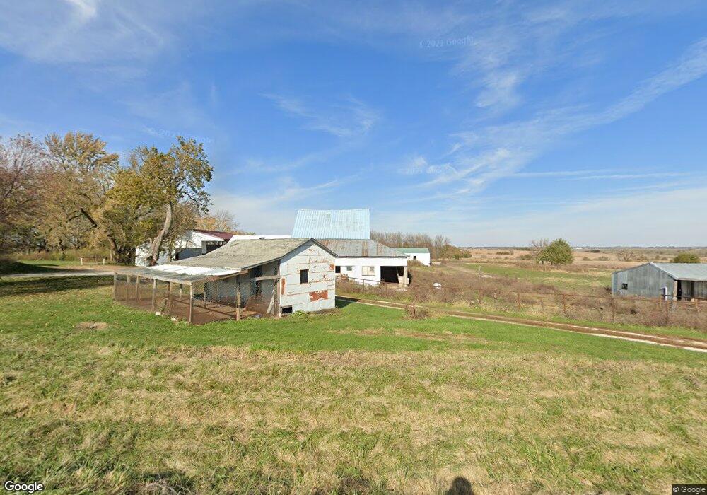
1618 290th St Redding, IA 50860
Estimated Value: $50,000 - $201,000
4
Beds
1
Bath
728
Sq Ft
$203/Sq Ft
Est. Value
About This Home
This home is located at 1618 290th St, Redding, IA 50860 and is currently estimated at $148,027, approximately $203 per square foot. 1618 290th St is a home located in Ringgold County with nearby schools including Mount Ayr Elementary School and Mount Ayr High School.
Ownership History
Date
Name
Owned For
Owner Type
Purchase Details
Closed on
Apr 30, 2020
Sold by
Troyer Nelson and Troyer Lucy
Bought by
Greenwell Aaron and Greenwell Laura
Current Estimated Value
Home Financials for this Owner
Home Financials are based on the most recent Mortgage that was taken out on this home.
Original Mortgage
$113,600
Outstanding Balance
$100,445
Interest Rate
3.3%
Mortgage Type
New Conventional
Estimated Equity
$47,582
Purchase Details
Closed on
Mar 27, 2008
Sold by
Detweiler Allen J and Detweiler Alma
Bought by
Troyer Nelson and Troyer Lucy
Create a Home Valuation Report for This Property
The Home Valuation Report is an in-depth analysis detailing your home's value as well as a comparison with similar homes in the area
Home Values in the Area
Average Home Value in this Area
Purchase History
| Date | Buyer | Sale Price | Title Company |
|---|---|---|---|
| Greenwell Aaron | $142,000 | None Available | |
| Troyer Nelson | $114,000 | -- |
Source: Public Records
Mortgage History
| Date | Status | Borrower | Loan Amount |
|---|---|---|---|
| Open | Greenwell Aaron | $113,600 |
Source: Public Records
Tax History Compared to Growth
Tax History
| Year | Tax Paid | Tax Assessment Tax Assessment Total Assessment is a certain percentage of the fair market value that is determined by local assessors to be the total taxable value of land and additions on the property. | Land | Improvement |
|---|---|---|---|---|
| 2025 | $1,490 | $108,785 | $44,787 | $63,998 |
| 2024 | $1,490 | $88,679 | $34,147 | $54,532 |
| 2023 | $1,464 | $88,679 | $34,147 | $54,532 |
| 2022 | $1,210 | $66,916 | $25,411 | $41,505 |
| 2021 | $1,210 | $62,381 | $25,411 | $36,970 |
| 2020 | $1,352 | $69,997 | $31,604 | $38,393 |
| 2019 | $1,366 | $75,776 | $40,711 | $35,065 |
| 2018 | $1,330 | $75,776 | $40,711 | $35,065 |
| 2017 | $1,330 | $75,776 | $40,711 | $35,065 |
| 2016 | $1,172 | $71,893 | $0 | $0 |
| 2015 | $1,172 | $70,510 | $0 | $0 |
| 2014 | $1,124 | $69,940 | $0 | $0 |
Source: Public Records
Map
Nearby Homes
- 00 Highway 169
- 2935 Highway 169
- 0 Highway 169
- 01 Highway 169
- 02 Highway 169
- 0000 J55 Hwy
- 1170 310th St
- 2457 Us Highway 169
- 0 250th St
- 0 250th Streets E Unit 6321428
- 0 Tay Gold Ave
- 0 Tay-Gold Ave
- 507 King St
- 404 Babson St
- 600 Oak St
- 408 Division St
- 100 Yellowstone Ave
- 0 Yellowstone Ave
- 200 Yellowstone Ave
- 2344 325th St