Estimated Value: $283,570 - $593,000
2
Beds
1
Bath
864
Sq Ft
$486/Sq Ft
Est. Value
About This Home
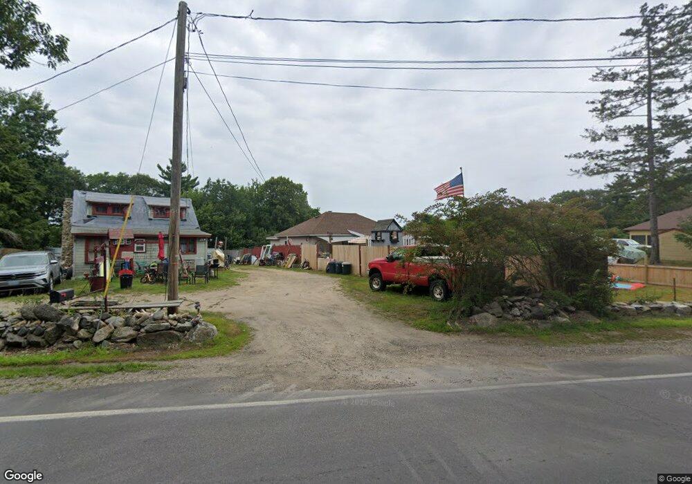
This home is located at 1618 Mount Major Hw, Alton, NH 03810 and is currently estimated at $419,893, approximately $485 per square foot. 1618 Mount Major Hw is a home located in Belknap County with nearby schools including Alton Central School (Elem) and Prospect Mountain High School.
Ownership History
Date
Name
Owned For
Owner Type
Purchase Details
Closed on
May 23, 2022
Sold by
Decowski John and Decowski Patricia
Bought by
Mcpherson Timothy and Hubbard Stacie
Current Estimated Value
Home Financials for this Owner
Home Financials are based on the most recent Mortgage that was taken out on this home.
Original Mortgage
$185,250
Outstanding Balance
$175,983
Interest Rate
5.25%
Mortgage Type
Purchase Money Mortgage
Estimated Equity
$243,910
Purchase Details
Closed on
Oct 13, 2009
Sold by
Bank Of America Na Tr
Bought by
Decowski John and Decowski Patricia
Purchase Details
Closed on
Oct 2, 2009
Sold by
Pearson Lesley
Bought by
Bank Of America Na Tr
Create a Home Valuation Report for This Property
The Home Valuation Report is an in-depth analysis detailing your home's value as well as a comparison with similar homes in the area
Home Values in the Area
Average Home Value in this Area
Purchase History
| Date | Buyer | Sale Price | Title Company |
|---|---|---|---|
| Mcpherson Timothy | $195,000 | None Available | |
| Decowski John | $52,900 | -- | |
| Bank Of America Na Tr | $87,300 | -- |
Source: Public Records
Mortgage History
| Date | Status | Borrower | Loan Amount |
|---|---|---|---|
| Open | Mcpherson Timothy | $185,250 |
Source: Public Records
Tax History Compared to Growth
Tax History
| Year | Tax Paid | Tax Assessment Tax Assessment Total Assessment is a certain percentage of the fair market value that is determined by local assessors to be the total taxable value of land and additions on the property. | Land | Improvement |
|---|---|---|---|---|
| 2024 | $2,652 | $204,300 | $71,000 | $133,300 |
| 2022 | $2,229 | $196,000 | $71,000 | $125,000 |
| 2021 | $2,230 | $196,000 | $71,000 | $125,000 |
| 2020 | $2,091 | $149,900 | $64,500 | $85,400 |
| 2019 | $1,875 | $149,900 | $64,500 | $85,400 |
| 2018 | $2,044 | $149,900 | $64,500 | $85,400 |
| 2017 | $1,928 | $149,900 | $64,500 | $85,400 |
| 2016 | $2,060 | $145,600 | $61,400 | $84,200 |
| 2015 | $2,011 | $140,900 | $56,700 | $84,200 |
| 2014 | $1,795 | $129,600 | $42,700 | $86,900 |
| 2013 | $1,696 | $126,200 | $39,300 | $86,900 |
Source: Public Records
Map
Nearby Homes
- 58 Rollins Rd
- 34 Hermit Rd
- 1756 Mount Major Hwy
- Lot 36 Mauhaut Shores Rd
- 36-3 Checkerberry Ln
- 1425 Mount Major Hwy
- 230 Rattlesnake Island
- 2761 Lake Shore Rd Unit 45
- 38 Spy Gold Ln
- 1256 Cherry Valley Rd
- 72 Timber Ridge Rd
- 46 Spy Gold Ln
- 6 Cumberland Rd Unit 22
- 2696 Lake Shore Rd Unit 108
- 22 Ginger Gold Way
- 35 Cumberland Rd
- 90 Briarcliff Rd
- 11 Fieldstone Way
- 47 Homestead Dr
- 235 Cumberland Rd
- 1616 Mount Major Hwy
- 1618 Mount Major Hwy
- 1622 Mount Major Hwy
- 1610 Mount Major Hwy
- 1624 Mount Major Hwy
- 1608 Mount Major Hwy
- 25 Railroad Ave
- 1602 Mount Major Hwy
- 1599 Mount Major Hwy
- 1630 Mount Major Hwy
- 23 Smith Point Rd
- 21 Smith Point Rd
- 20 Railroad Ave
- 16 Railroad Ave
- 12 Peters Path
- 14 Peters Path
- 18 Railroad Ave
- 24 Railroad Ave
- 26 Railroad Ave
- 10 Peters Path