1619 220th Ave West Point, IA 52656
Estimated Value: $49,975 - $124,000
2
Beds
1
Bath
924
Sq Ft
$89/Sq Ft
Est. Value
About This Home
This home is located at 1619 220th Ave, West Point, IA 52656 and is currently estimated at $81,994, approximately $88 per square foot. 1619 220th Ave is a home located in Lee County with nearby schools including Fort Madison High School, Holy Trinity Catholic Elementary, and Holy Trinity Elementary.
Ownership History
Date
Name
Owned For
Owner Type
Purchase Details
Closed on
May 3, 2019
Sold by
Bell Joe T
Bought by
Schulte Jacob F and Schulte Carlee A
Current Estimated Value
Home Financials for this Owner
Home Financials are based on the most recent Mortgage that was taken out on this home.
Original Mortgage
$40,000
Outstanding Balance
$35,096
Interest Rate
4.2%
Mortgage Type
New Conventional
Estimated Equity
$46,898
Purchase Details
Closed on
Apr 28, 2006
Sold by
Bell Travis L and Bell Angela
Bought by
Bell Joel T
Home Financials for this Owner
Home Financials are based on the most recent Mortgage that was taken out on this home.
Original Mortgage
$31,530
Interest Rate
6.42%
Mortgage Type
Future Advance Clause Open End Mortgage
Create a Home Valuation Report for This Property
The Home Valuation Report is an in-depth analysis detailing your home's value as well as a comparison with similar homes in the area
Home Values in the Area
Average Home Value in this Area
Purchase History
| Date | Buyer | Sale Price | Title Company |
|---|---|---|---|
| Schulte Jacob F | $38,000 | -- | |
| Bell Joel T | $35,000 | None Available |
Source: Public Records
Mortgage History
| Date | Status | Borrower | Loan Amount |
|---|---|---|---|
| Open | Schulte Jacob F | $40,000 | |
| Previous Owner | Bell Joel T | $31,530 |
Source: Public Records
Tax History Compared to Growth
Tax History
| Year | Tax Paid | Tax Assessment Tax Assessment Total Assessment is a certain percentage of the fair market value that is determined by local assessors to be the total taxable value of land and additions on the property. | Land | Improvement |
|---|---|---|---|---|
| 2025 | $244 | $20,280 | $12,730 | $7,550 |
| 2024 | $244 | $19,220 | $12,730 | $6,490 |
| 2023 | $236 | $19,220 | $12,730 | $6,490 |
| 2022 | $204 | $15,600 | $12,730 | $2,870 |
| 2021 | $204 | $15,600 | $12,730 | $2,870 |
| 2020 | $604 | $43,030 | $13,490 | $29,540 |
| 2019 | $464 | $43,030 | $13,490 | $29,540 |
| 2018 | $480 | $40,600 | $0 | $0 |
| 2017 | $480 | $38,590 | $0 | $0 |
| 2016 | $432 | $38,590 | $0 | $0 |
| 2015 | $432 | $37,430 | $0 | $0 |
| 2014 | $422 | $37,430 | $0 | $0 |
Source: Public Records
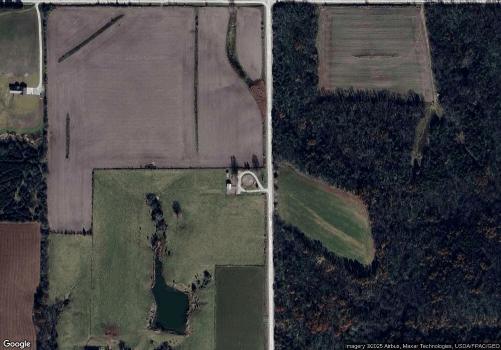
Map
Nearby Homes
- 2280 Windmill Way
- 53 5th St
- 2257 Burt Rd
- 2042 St Paul 2nd St
- 306 Franklin 5th St
- 1794 150th St
- 00 180th St
- 819 Park St
- 808 Park St
- 603 Fruit St
- 221 Chestnut St
- 808 Pershing St
- 720 Pershing St
- 2229 235th St
- 807 Chestnut St
- 809 Houston Ave
- 0 Blues Highway & Bluff Rd
- 4991 Bluff Rd
- 2329 263rd Ave
- 1712 335th St
- 2174 162nd St
- 2166 162nd St
- 1672 Franklin Rd
- 2244 County Road 103
- 2244 Hwy 103
- 1699 Franklin Rd
- 1553 220th Ave
- 2260 Windmill Way
- 2269 162nd St
- 2280 Wind Mill Way
- 2282 Windmill Way
- 2282 Wind Mill Way
- 2284 Windmill Way
- 2286 Windmill Way
- 2286 Wind Mill Way
- 400 Franklin Broadway St
- 1712 Franklin Rd
- 2280 County Road 103