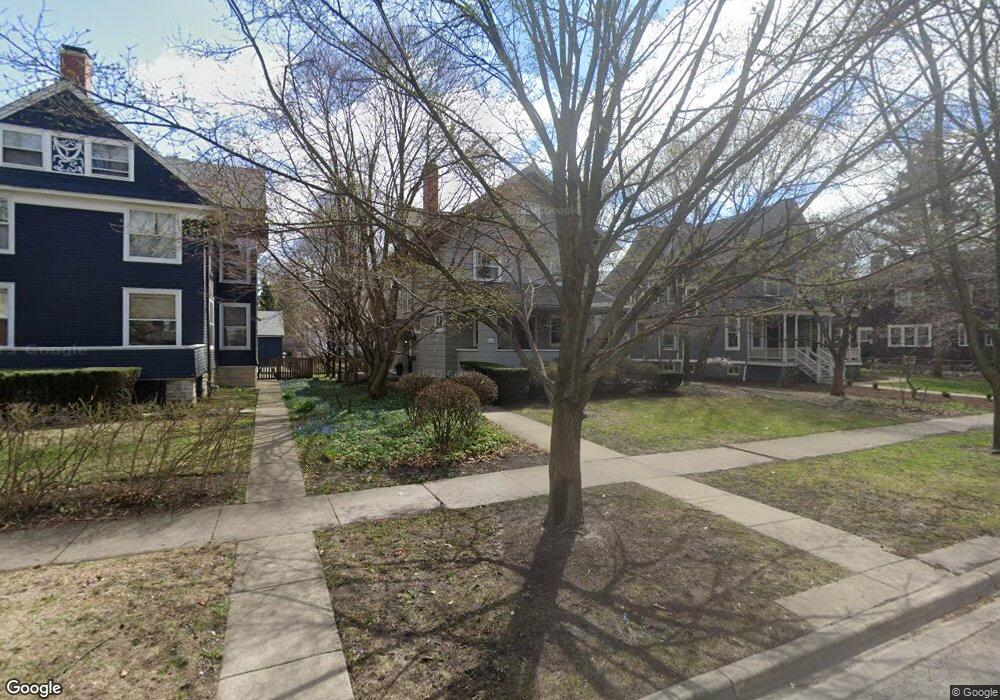
1619 Ashland Ave Evanston, IL 60201
West Evanston NeighborhoodEstimated Value: $891,000 - $1,095,000
4
Beds
3
Baths
2,512
Sq Ft
$402/Sq Ft
Est. Value
About This Home
This home is located at 1619 Ashland Ave, Evanston, IL 60201 and is currently estimated at $1,009,687, approximately $401 per square foot. 1619 Ashland Ave is a home located in Cook County with nearby schools including Dewey Elementary School, Washington Elementary School, and Nichols Middle School.
Ownership History
Date
Name
Owned For
Owner Type
Purchase Details
Closed on
Mar 18, 2016
Sold by
Bailey Alston Wynn and Bailey Kathy B
Bought by
Bailey Alston Wynn and Bailey Alston Wynn
Current Estimated Value
Purchase Details
Closed on
Jan 14, 1994
Sold by
Carter Richard E and Carter Constance C
Bought by
Bailey Alston Wynn and Bailey Kathy B
Home Financials for this Owner
Home Financials are based on the most recent Mortgage that was taken out on this home.
Original Mortgage
$329,600
Interest Rate
6.62%
Create a Home Valuation Report for This Property
The Home Valuation Report is an in-depth analysis detailing your home's value as well as a comparison with similar homes in the area
Home Values in the Area
Average Home Value in this Area
Purchase History
| Date | Buyer | Sale Price | Title Company |
|---|---|---|---|
| Bailey Alston Wynn | -- | Attorney | |
| Bailey Alston Wynn | $274,666 | -- |
Source: Public Records
Mortgage History
| Date | Status | Borrower | Loan Amount |
|---|---|---|---|
| Closed | Bailey Alston Wynn | $329,600 |
Source: Public Records
Tax History Compared to Growth
Tax History
| Year | Tax Paid | Tax Assessment Tax Assessment Total Assessment is a certain percentage of the fair market value that is determined by local assessors to be the total taxable value of land and additions on the property. | Land | Improvement |
|---|---|---|---|---|
| 2024 | $20,080 | $77,972 | $27,104 | $50,868 |
| 2023 | $19,243 | $86,262 | $27,104 | $59,158 |
| 2022 | $19,243 | $86,262 | $27,104 | $59,158 |
| 2021 | $16,983 | $67,325 | $17,864 | $49,461 |
| 2020 | $16,816 | $67,325 | $17,864 | $49,461 |
| 2019 | $17,379 | $77,604 | $17,864 | $59,740 |
| 2018 | $13,254 | $51,811 | $14,784 | $37,027 |
| 2017 | $15,754 | $62,419 | $14,784 | $47,635 |
| 2016 | $15,165 | $62,419 | $14,784 | $47,635 |
| 2015 | $15,097 | $58,926 | $12,012 | $46,914 |
| 2014 | $14,967 | $58,926 | $12,012 | $46,914 |
| 2013 | $14,608 | $58,926 | $12,012 | $46,914 |
Source: Public Records
Map
Nearby Homes
- 1621 Church St
- 1585 Ridge Ave Unit 506
- 1585 Ridge Ave Unit 404
- 1585 Ridge Ave Unit 608
- 1801 Lyons St
- 1739 Dodge Ave
- 1720 Oak Ave Unit 502
- 1720 Oak Ave Unit 701
- 1720 Oak Ave Unit 706
- 1813 Dodge Ave
- 1228 Emerson St Unit 304
- 1500 Oak Ave Unit 4B
- 1600 Greenwood St
- 1801 Brown Ave
- 1640 Maple Ave Unit 1202
- 1640 Maple Ave Unit 304
- 1640 Maple Ave Unit 804
- 1723 Greenwood St
- 1572 Maple Ave Unit 501
- 1572 Maple Ave Unit 401
- 1615 Ashland Ave
- 1625 Ashland Ave
- 1631 Ashland Ave
- 1421 Davis St
- 1425 Davis St
- 1618 Wesley Ave
- 1416 Church St
- 1415 Davis St
- 1624 Wesley Ave
- 1612 Wesley Ave
- 1411 Davis St
- 1414 Church St
- 1618 Ashland Ave
- 1624 Ashland Ave
- 1610 Ashland Ave
- 1630 Ashland Ave
- 1606 Wesley Ave
- 1632 Wesley Ave
- 1608 Ashland Ave
- 1602 Ashland Ave