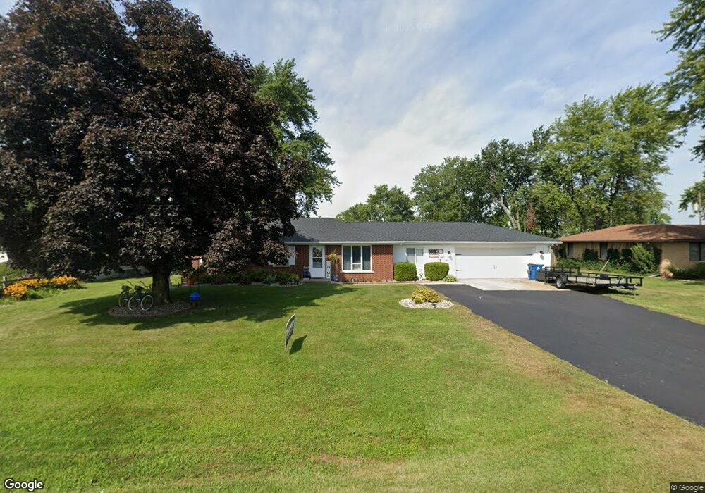
1619 N 2000 East Rd Watseka, IL 60970
Estimated Value: $145,596 - $203,000
3
Beds
2
Baths
1,408
Sq Ft
$121/Sq Ft
Est. Value
About This Home
This home is located at 1619 N 2000 East Rd, Watseka, IL 60970 and is currently estimated at $169,899, approximately $120 per square foot. 1619 N 2000 East Rd is a home located in Iroquois County with nearby schools including Watseka Community High School, Wanda Kendall Elementary School, and Nettie Davis Elementary School.
Ownership History
Date
Name
Owned For
Owner Type
Purchase Details
Closed on
Aug 23, 2022
Sold by
Denoyer Russell E and Denoyer Barbara J
Bought by
Denoyer Russell E and Denoyer Barbara J
Current Estimated Value
Purchase Details
Closed on
Aug 1, 2007
Bought by
Denoyer Russell E and Denoyer Barbara J
Create a Home Valuation Report for This Property
The Home Valuation Report is an in-depth analysis detailing your home's value as well as a comparison with similar homes in the area
Home Values in the Area
Average Home Value in this Area
Purchase History
| Date | Buyer | Sale Price | Title Company |
|---|---|---|---|
| Denoyer Russell E | -- | None Listed On Document | |
| Denoyer Russell E | $105,000 | -- |
Source: Public Records
Tax History Compared to Growth
Tax History
| Year | Tax Paid | Tax Assessment Tax Assessment Total Assessment is a certain percentage of the fair market value that is determined by local assessors to be the total taxable value of land and additions on the property. | Land | Improvement |
|---|---|---|---|---|
| 2024 | $2,527 | $41,020 | $4,770 | $36,250 |
| 2023 | $2,527 | $36,300 | $4,220 | $32,080 |
| 2022 | $2,222 | $34,910 | $4,060 | $30,850 |
| 2021 | $1,953 | $31,700 | $3,690 | $28,010 |
| 2020 | $1,876 | $30,400 | $3,540 | $26,860 |
| 2019 | $1,804 | $29,400 | $3,420 | $25,980 |
| 2018 | $1,758 | $28,630 | $3,330 | $25,300 |
| 2017 | $1,815 | $28,120 | $3,270 | $24,850 |
| 2016 | $1,835 | $28,120 | $3,270 | $24,850 |
| 2015 | $1,699 | $27,770 | $3,230 | $24,540 |
| 2014 | $1,699 | $27,260 | $3,170 | $24,090 |
| 2013 | $1,815 | $28,460 | $3,310 | $25,150 |
Source: Public Records
Map
Nearby Homes
- 104 Central Ct
- 207 Wilson Dr
- 905 S 4th St
- 623 S 4th St
- 533 S 4th St
- 101 Crescent Dr
- 219 W Mulberry St
- 425 S 4th St
- 103 S Belmont Ave
- 433 S 5th St
- 317 S 4th St
- 212 Yount Ave
- 308 E Mulberry St
- 609 E Porter Ave
- 100 W Herron Ct
- 320 E Locust St
- 330 E Locust St
- 1718 N 1800 Rd E
- 538 E Mulberry St
- 516 E Locust St
- 1621 N 2000 East Rd
- 1621 N 2000 Rd E
- 1617 N 2000 East Rd
- 106 Central Ct
- 107 Central Ct
- 1615 N 2000 East Rd
- 1623 N 2000 East Rd
- 1997 E 1630 North Rd
- 1613 N 2000 East Rd
- 1995 E 1630 North Rd
- 1995 E 1630 North Rd
- 106 Clayton Dr
- 200 Clayton Dr
- 103 Central Ct
- 100 Clayton Dr
- 1993 E 1630 North Rd
- 1991 E 1630 North Rd
- 402 Clayton Dr
- 100 Wilson Dr