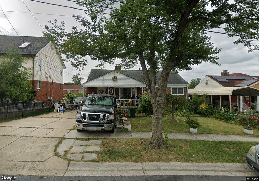
1619 Parham Rd Silver Spring, MD 20903
Oakview NeighborhoodEstimated Value: $500,000 - $571,902
Studio
2
Baths
1,968
Sq Ft
$274/Sq Ft
Est. Value
About This Home
This home is located at 1619 Parham Rd, Silver Spring, MD 20903 and is currently estimated at $539,226, approximately $273 per square foot. 1619 Parham Rd is a home located in Montgomery County with nearby schools including Roscoe R. Nix Elementary School, Cresthaven Elementary School, and Francis Scott Key Middle School.
Ownership History
Date
Name
Owned For
Owner Type
Purchase Details
Closed on
Apr 14, 2004
Sold by
Gomez Lopez Luis E
Bought by
Hernandez Raul
Current Estimated Value
Purchase Details
Closed on
Jan 29, 2001
Sold by
Nunez Francisca M
Bought by
Gomez Lopez Luis E and Jimenez Blanca L
Purchase Details
Closed on
Nov 20, 1997
Sold by
S Calvin W and S Riley L
Bought by
Francisca M Nunez
Create a Home Valuation Report for This Property
The Home Valuation Report is an in-depth analysis detailing your home's value as well as a comparison with similar homes in the area
Home Values in the Area
Average Home Value in this Area
Purchase History
| Date | Buyer | Sale Price | Title Company |
|---|---|---|---|
| Hernandez Raul | $350,000 | -- | |
| Hernandez Raul | $350,000 | -- | |
| Gomez Lopez Luis E | $184,000 | -- | |
| Francisca M Nunez | $143,000 | -- |
Source: Public Records
Tax History
| Year | Tax Paid | Tax Assessment Tax Assessment Total Assessment is a certain percentage of the fair market value that is determined by local assessors to be the total taxable value of land and additions on the property. | Land | Improvement |
|---|---|---|---|---|
| 2025 | $6,441 | $522,333 | -- | -- |
| 2024 | $6,441 | $490,067 | $0 | $0 |
| 2023 | $6,733 | $457,800 | $200,500 | $257,300 |
| 2022 | $4,863 | $438,800 | $0 | $0 |
| 2021 | $4,337 | $419,800 | $0 | $0 |
| 2020 | $4,337 | $400,800 | $200,500 | $200,300 |
| 2019 | $4,300 | $400,800 | $200,500 | $200,300 |
| 2018 | $4,277 | $400,800 | $200,500 | $200,300 |
| 2017 | $4,644 | $427,300 | $0 | $0 |
| 2016 | $5,028 | $375,200 | $0 | $0 |
| 2015 | $5,028 | $323,100 | $0 | $0 |
| 2014 | $5,028 | $271,000 | $0 | $0 |
Source: Public Records
Map
Nearby Homes
- 9507 Adelphi Rd
- 9405 Sierra St
- 9403 Avenel Rd
- 9801 Arbor Hill Dr
- 1824 Metzerott Rd Unit 203
- 1822 Metzerott Rd Unit 402
- 1822 Metzerott Rd Unit 308
- 1822 Metzerott Rd Unit A-2
- 9205 New Hampshire Ave Unit A-4
- 9205 New Hampshire Ave Unit 302
- 9205 New Hampshire Ave Unit 202
- 1804 Metzerott Rd Unit 303
- 1828 Metzerott Rd Unit 202
- 1828 Metzerott Rd Unit 405
- 9201 New Hampshire Ave Unit 208
- 9278 Adelphi Rd Unit 103
- 1836 Metzerott Rd Unit 904
- 1836 Metzerott Rd Unit 1516
- 1836 Metzerott Rd Unit 401
- 1836 Metzerott Rd Unit 1903
Your Personal Tour Guide
Ask me questions while you tour the home.