16190 Heath Rd Addison, MI 49220
Estimated Value: $270,000 - $330,000
3
Beds
3
Baths
1,680
Sq Ft
$180/Sq Ft
Est. Value
About This Home
This home is located at 16190 Heath Rd, Addison, MI 49220 and is currently estimated at $302,667, approximately $180 per square foot. 16190 Heath Rd is a home located in Lenawee County with nearby schools including Columbia Lower Elementary School, Columbia Upper Elementary School, and Columbia Central Jr./Sr. High School.
Ownership History
Date
Name
Owned For
Owner Type
Purchase Details
Closed on
Jul 14, 2010
Sold by
Citimortgage Inc
Bought by
Potts Michael and Potts Rita
Current Estimated Value
Purchase Details
Closed on
Sep 17, 2009
Sold by
Phillips David G and Phillips Cecillia I
Bought by
Citimortgage Inc
Create a Home Valuation Report for This Property
The Home Valuation Report is an in-depth analysis detailing your home's value as well as a comparison with similar homes in the area
Purchase History
| Date | Buyer | Sale Price | Title Company |
|---|---|---|---|
| Potts Michael | $40,525 | Multiple | |
| Citimortgage Inc | $39,288 | None Available |
Source: Public Records
Tax History
| Year | Tax Paid | Tax Assessment Tax Assessment Total Assessment is a certain percentage of the fair market value that is determined by local assessors to be the total taxable value of land and additions on the property. | Land | Improvement |
|---|---|---|---|---|
| 2025 | $2,820 | $146,700 | $0 | $0 |
| 2024 | $19 | $138,300 | $0 | $0 |
| 2023 | -- | $122,500 | $0 | $0 |
| 2022 | $2,529 | $107,200 | $0 | $0 |
| 2021 | $2,484 | $103,600 | $0 | $0 |
| 2020 | $2,187 | $77,400 | $0 | $0 |
| 2019 | $247,103 | $77,400 | $0 | $0 |
| 2018 | $2,304 | $93,776 | $0 | $0 |
| 2017 | $2,221 | $95,205 | $0 | $0 |
| 2016 | $2,203 | $94,516 | $0 | $0 |
| 2014 | -- | $90,879 | $0 | $0 |
Source: Public Records
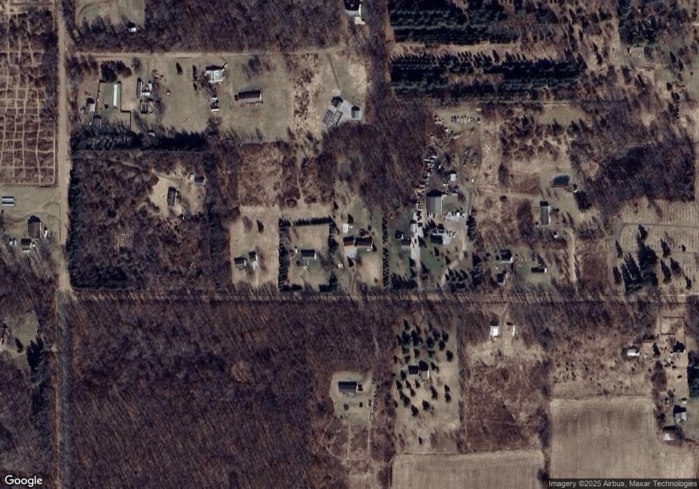
Map
Nearby Homes
- 10902 Devils Lake Hwy
- 1023 Tompkins Dr
- 9304 Parkhurst Hwy
- 10911 Devils Lake Hwy
- 15281 U S 12
- 8000 Parkhurst Hwy Unit Carroll Dr ((1175)
- Lot 62 Pamawa Dr
- 61 Pamawa Dr
- 6820 Devils Lake Hwy
- VL U S 12
- 0 Silver Lake Hwy Unit Parcel 1
- 17550 U S 12
- 5935 Tower Dr
- 7841 Devils Lake Hwy
- 599 Woodstock St
- 300 Woodstock St Unit 8.32 Acres
- 300 Woodstock St Unit 3.32 Acres
- 300 Woodstock St Unit 5 Acres
- 13161 Vischer Rd
- 4276 Echo Cove
- 16200 Heath Rd
- 16220 Heath Rd
- 16000 Heath Rd Unit BLK
- 16010 Heath Rd
- 10000 Cement City Hwy Unit 10000 Cement City HW
- 10000 Cement City Hwy
- 10000 Cement City Hwy Unit BLK
- 10000 Cement City Hwy Unit BLK
- 10000 Cement City Hwy Unit BLK
- 10000 Cement City Hwy Unit BLK
- 10000 Cement City Hwy Unit BLK
- 15990 Heath Rd
- 9994 Cement City Hwy
- 16007 Heath Rd
- 0 Kennel Club Dr Unit 20090570
- 9890 Cement City Hwy
- 15902 Heath Rd
- 9770 Cement City Hwy
- 10185 Cement City Hwy
- 10223 Cement City Hwy
Your Personal Tour Guide
Ask me questions while you tour the home.