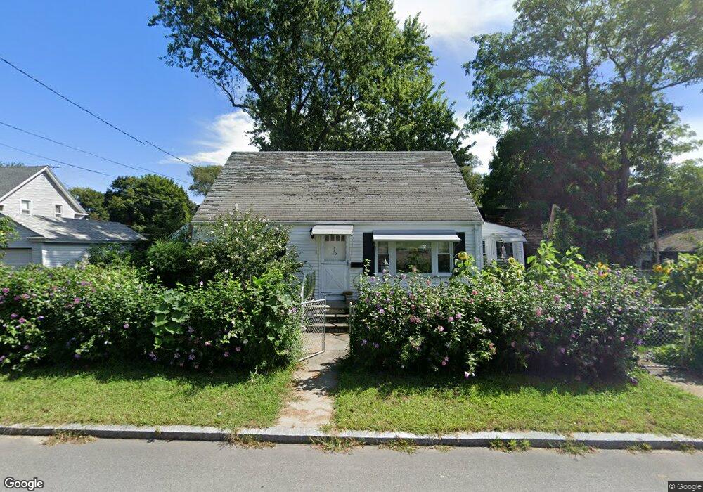
162 Arnold St Riverside, RI 02915
Riverside NeighborhoodEstimated Value: $344,670 - $383,000
3
Beds
1
Bath
1,020
Sq Ft
$364/Sq Ft
Est. Value
About This Home
This home is located at 162 Arnold St, Riverside, RI 02915 and is currently estimated at $371,168, approximately $363 per square foot. 162 Arnold St is a home located in Providence County with nearby schools including East Providence High School, St Mary Academy-Bay View, and St Luke Elementary School.
Ownership History
Date
Name
Owned For
Owner Type
Purchase Details
Closed on
Dec 5, 2001
Sold by
Peter Ronald E
Bought by
Sharp Dona E
Current Estimated Value
Home Financials for this Owner
Home Financials are based on the most recent Mortgage that was taken out on this home.
Original Mortgage
$100,000
Interest Rate
6.67%
Mortgage Type
Purchase Money Mortgage
Create a Home Valuation Report for This Property
The Home Valuation Report is an in-depth analysis detailing your home's value as well as a comparison with similar homes in the area
Home Values in the Area
Average Home Value in this Area
Purchase History
| Date | Buyer | Sale Price | Title Company |
|---|---|---|---|
| Sharp Dona E | $125,000 | -- | |
| Sharp Dona E | $125,000 | -- |
Source: Public Records
Mortgage History
| Date | Status | Borrower | Loan Amount |
|---|---|---|---|
| Open | Sharp Dona E | $149,466 | |
| Closed | Sharp Dona E | $27,500 | |
| Closed | Sharp Dona E | $100,000 |
Source: Public Records
Tax History Compared to Growth
Tax History
| Year | Tax Paid | Tax Assessment Tax Assessment Total Assessment is a certain percentage of the fair market value that is determined by local assessors to be the total taxable value of land and additions on the property. | Land | Improvement |
|---|---|---|---|---|
| 2025 | $3,874 | $296,400 | $85,500 | $210,900 |
| 2024 | $3,975 | $259,300 | $71,300 | $188,000 |
| 2023 | $3,827 | $259,300 | $71,300 | $188,000 |
| 2022 | $3,948 | $180,600 | $47,100 | $133,500 |
| 2021 | $3,883 | $180,600 | $44,000 | $136,600 |
| 2020 | $3,719 | $180,600 | $44,000 | $136,600 |
| 2019 | $3,616 | $180,600 | $44,000 | $136,600 |
| 2018 | $3,592 | $157,000 | $47,100 | $109,900 |
| 2017 | $3,512 | $157,000 | $47,100 | $109,900 |
| 2016 | $3,495 | $157,000 | $47,100 | $109,900 |
| 2015 | $3,488 | $152,000 | $46,100 | $105,900 |
| 2014 | $3,488 | $152,000 | $46,100 | $105,900 |
Source: Public Records
Map
Nearby Homes
- 25 Read St
- 57 Harris St
- 81 Sprague Ave
- 25 Arnold St
- 17 Oak Ave
- 536 Willett Ave
- 33 Pine St Unit 35
- 151 Willett Ave Unit 2
- 151 Willett Ave Unit 5
- 1 Holly St
- 88 Lincoln Ave
- 735 Willett Ave Unit 806
- 25 Woodbine St
- 36 Woodbine St
- 25 Winslow St
- 72 Stowe Ave
- 93 Narragansett Ave
- 129 Cedar Ave
- 1 Fales St
- 87 Bluff St