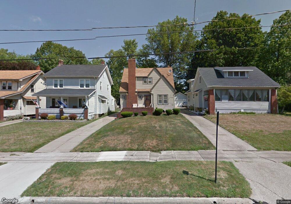
162 Maple Dr Youngstown, OH 44512
Estimated Value: $108,000 - $122,000
2
Beds
1
Bath
983
Sq Ft
$116/Sq Ft
Est. Value
About This Home
This home is located at 162 Maple Dr, Youngstown, OH 44512 and is currently estimated at $114,250, approximately $116 per square foot. 162 Maple Dr is a home located in Mahoning County with nearby schools including Boardman Glenwood Junior High School, Boardman High School, and Horizon Science Academy - Youngstown.
Ownership History
Date
Name
Owned For
Owner Type
Purchase Details
Closed on
Nov 19, 2013
Sold by
Meese Gina Marinelli and Marinelli Gina Marie
Bought by
Wylie Nancy E
Current Estimated Value
Home Financials for this Owner
Home Financials are based on the most recent Mortgage that was taken out on this home.
Original Mortgage
$61,858
Outstanding Balance
$45,358
Interest Rate
4.12%
Mortgage Type
FHA
Estimated Equity
$68,892
Purchase Details
Closed on
Sep 1, 1995
Sold by
Fisher David C
Bought by
Lednelli William A and Lednelli Sharon L
Home Financials for this Owner
Home Financials are based on the most recent Mortgage that was taken out on this home.
Original Mortgage
$53,675
Interest Rate
7.1%
Mortgage Type
New Conventional
Purchase Details
Closed on
Aug 28, 1989
Bought by
Fisher David
Create a Home Valuation Report for This Property
The Home Valuation Report is an in-depth analysis detailing your home's value as well as a comparison with similar homes in the area
Home Values in the Area
Average Home Value in this Area
Purchase History
| Date | Buyer | Sale Price | Title Company |
|---|---|---|---|
| Wylie Nancy E | $63,000 | Escrow | |
| Lednelli William A | $56,500 | -- | |
| Fisher David | $42,900 | -- |
Source: Public Records
Mortgage History
| Date | Status | Borrower | Loan Amount |
|---|---|---|---|
| Open | Wylie Nancy E | $61,858 | |
| Previous Owner | Lednelli William A | $53,675 |
Source: Public Records
Tax History
| Year | Tax Paid | Tax Assessment Tax Assessment Total Assessment is a certain percentage of the fair market value that is determined by local assessors to be the total taxable value of land and additions on the property. | Land | Improvement |
|---|---|---|---|---|
| 2025 | $1,276 | $25,060 | $3,120 | $21,940 |
| 2024 | $1,304 | $25,060 | $3,120 | $21,940 |
| 2023 | $1,287 | $25,060 | $3,120 | $21,940 |
| 2022 | $1,139 | $16,870 | $3,020 | $13,850 |
| 2021 | $1,139 | $16,870 | $3,020 | $13,850 |
| 2020 | $1,145 | $16,870 | $3,020 | $13,850 |
| 2019 | $1,171 | $14,920 | $2,670 | $12,250 |
| 2018 | $1,022 | $14,920 | $2,670 | $12,250 |
| 2017 | $959 | $14,920 | $2,670 | $12,250 |
| 2016 | $1,080 | $16,680 | $3,190 | $13,490 |
| 2015 | $1,112 | $16,680 | $3,190 | $13,490 |
| 2014 | $1,062 | $16,680 | $3,190 | $13,490 |
| 2013 | $1,049 | $16,680 | $3,190 | $13,490 |
Source: Public Records
Map
Nearby Homes
- 4441 Southern Blvd
- 189 Beechwood Dr
- 4803 Southern Blvd Unit 805
- 196 Maywood Dr
- 4127 Southern Blvd
- 86 Terrace Dr
- 63 Clifton Dr
- 4144 Helena Ave
- 4206 Rush Blvd
- 192 Hollywood Ave
- 4717 Market St
- 28 Terrace Dr
- 173 Clarencedale Ave
- 28 Jennette Dr
- 4941 Market St
- 94 Jennette Dr
- 124 E Midlothian Blvd
- 132 Jennette Dr
- 4038 Sunset Blvd
- 3916 Howard St
Your Personal Tour Guide
Ask me questions while you tour the home.