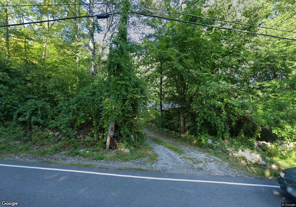
162 Naticook Rd Merrimack, NH 03054
Estimated Value: $536,000 - $660,000
2
Beds
1
Bath
2,113
Sq Ft
$283/Sq Ft
Est. Value
About This Home
This home is located at 162 Naticook Rd, Merrimack, NH 03054 and is currently estimated at $597,895, approximately $282 per square foot. 162 Naticook Rd is a home located in Hillsborough County with nearby schools including Thorntons Ferry School, Merrimack Middle School, and James Mastricola Upper Elementary School.
Ownership History
Date
Name
Owned For
Owner Type
Purchase Details
Closed on
May 20, 2024
Sold by
Linscott Cheryl D
Bought by
C D Linscott Ft and Linscott
Current Estimated Value
Purchase Details
Closed on
Apr 8, 2021
Sold by
Frangoudis Archie
Bought by
Archie Frangoudis Ft and Frangoudis
Purchase Details
Closed on
Oct 1, 1976
Bought by
Frangoudis Archie and Linscott Cheryl D
Create a Home Valuation Report for This Property
The Home Valuation Report is an in-depth analysis detailing your home's value as well as a comparison with similar homes in the area
Home Values in the Area
Average Home Value in this Area
Purchase History
| Date | Buyer | Sale Price | Title Company |
|---|---|---|---|
| C D Linscott Ft | -- | None Available | |
| C D Linscott Ft | -- | None Available | |
| Archie Frangoudis Ft | -- | None Available | |
| Archie Frangoudis Ft | -- | None Available | |
| Frangoudis Archie | -- | -- |
Source: Public Records
Tax History Compared to Growth
Tax History
| Year | Tax Paid | Tax Assessment Tax Assessment Total Assessment is a certain percentage of the fair market value that is determined by local assessors to be the total taxable value of land and additions on the property. | Land | Improvement |
|---|---|---|---|---|
| 2024 | $9,497 | $459,000 | $195,200 | $263,800 |
| 2023 | $8,928 | $459,000 | $195,200 | $263,800 |
| 2022 | $7,545 | $434,100 | $195,200 | $238,900 |
| 2021 | $7,388 | $430,300 | $195,200 | $235,100 |
| 2020 | $7,589 | $315,400 | $138,800 | $176,600 |
| 2019 | $7,611 | $315,400 | $138,800 | $176,600 |
| 2018 | $7,708 | $315,400 | $138,800 | $176,600 |
| 2017 | $7,371 | $315,400 | $138,800 | $176,600 |
| 2016 | $7,188 | $315,400 | $138,800 | $176,600 |
| 2015 | $7,260 | $293,700 | $118,300 | $175,400 |
| 2014 | $7,075 | $293,700 | $118,300 | $175,400 |
| 2013 | $6,970 | $291,500 | $118,300 | $173,200 |
Source: Public Records
Map
Nearby Homes
- 10 Drouin Way
- 15 Four Winds Rd
- 11 Queens Way
- 9 Cambridge Dr
- 66 Tinker Rd
- 3 Roedean Dr Unit C-207
- 201 Millwright Dr
- 80 Peaslee Rd
- 5 Dumaine Ave Unit B
- 5 Dumaine Ave Unit N
- 103 Seaverns Bridge Rd
- 105 Seaverns Bridge Rd
- 101-2 Seaverns Bridge Rd
- 75 Deerwood Dr Unit B
- 77 Deerwood Dr Unit E
- 6 Mason Rd
- 1 County Rd
- 3 Cranleigh Mews Unit U297
- 26 Andover Down Unit 276
- 25 Eastern Ave