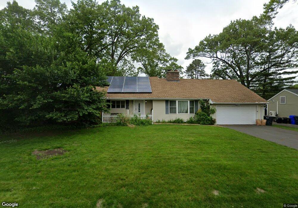
162 Overlook Dr Springfield, MA 01118
East Forest Park NeighborhoodEstimated Value: $401,581 - $457,000
4
Beds
2
Baths
2,441
Sq Ft
$179/Sq Ft
Est. Value
About This Home
This home is located at 162 Overlook Dr, Springfield, MA 01118 and is currently estimated at $436,145, approximately $178 per square foot. 162 Overlook Dr is a home located in Hampden County with nearby schools including Mary A. Dryden Veterans Memorial School, M Marcus Kiley Middle, and Springfield High School of Science and Technology.
Ownership History
Date
Name
Owned For
Owner Type
Purchase Details
Closed on
Mar 22, 1996
Sold by
Mitchell Eleanor M
Bought by
Ouimet-Rooke Michele and Ouimet Richard E
Current Estimated Value
Home Financials for this Owner
Home Financials are based on the most recent Mortgage that was taken out on this home.
Original Mortgage
$121,626
Outstanding Balance
$4,753
Interest Rate
6.99%
Mortgage Type
Purchase Money Mortgage
Estimated Equity
$431,392
Create a Home Valuation Report for This Property
The Home Valuation Report is an in-depth analysis detailing your home's value as well as a comparison with similar homes in the area
Home Values in the Area
Average Home Value in this Area
Purchase History
| Date | Buyer | Sale Price | Title Company |
|---|---|---|---|
| Ouimet-Rooke Michele | $122,000 | -- |
Source: Public Records
Mortgage History
| Date | Status | Borrower | Loan Amount |
|---|---|---|---|
| Open | Ouimet-Rooke Michele | $121,626 |
Source: Public Records
Tax History
| Year | Tax Paid | Tax Assessment Tax Assessment Total Assessment is a certain percentage of the fair market value that is determined by local assessors to be the total taxable value of land and additions on the property. | Land | Improvement |
|---|---|---|---|---|
| 2025 | $6,228 | $397,200 | $57,200 | $340,000 |
| 2024 | $5,860 | $364,900 | $57,200 | $307,700 |
| 2023 | $5,867 | $344,100 | $54,500 | $289,600 |
| 2022 | $5,606 | $297,900 | $54,500 | $243,400 |
| 2021 | $5,016 | $265,400 | $49,500 | $215,900 |
| 2020 | $4,963 | $254,100 | $49,500 | $204,600 |
| 2019 | $4,859 | $246,900 | $49,500 | $197,400 |
| 2018 | $4,804 | $244,100 | $49,500 | $194,600 |
| 2017 | $4,604 | $234,200 | $54,400 | $179,800 |
| 2016 | $4,406 | $224,100 | $54,400 | $169,700 |
| 2015 | $4,416 | $224,500 | $54,400 | $170,100 |
Source: Public Records
Map
Nearby Homes
- 236 Pondview Dr
- 54 S Shore Dr
- 384 Abbott St
- 11 Ina St
- 87 Fenwick St
- 22 Amanda St
- 44 Amanda St
- 75 Gillette Cir
- 118 Pilgrim Rd
- 309 Island Pond Rd
- 34 Elsie St
- 7 Ashbrook St
- 111 Marlborough St
- 0 NS (24) Alden St
- 135-137 Suffolk St
- 170 Plumtree Rd
- 89 Bristol St
- 750 Wilbraham Rd
- 37 Chesterfield Ave
- 30 W Hill Rd
- 170 Overlook Dr
- 596 Roosevelt Ave
- 150 Overlook Dr
- 606 Roosevelt Ave
- 586 Roosevelt Ave
- 155 Overlook Dr
- 171 Overlook Dr
- 140 Overlook Dr
- 182 Overlook Dr
- 576 Roosevelt Ave
- 620 Roosevelt Ave
- 179 Overlook Dr
- 132 Overlook Dr
- 139 Overlook Dr
- 595 Roosevelt Ave
- 605 Roosevelt Ave
- 194 Overlook Dr
- 583 Roosevelt Ave
- 9 Pondview Dr
- 191 Overlook Dr
Your Personal Tour Guide
Ask me questions while you tour the home.