162 Quinsigamond Ave Vineyard Haven, MA 02568
Vineyard Haven NeighborhoodEstimated Value: $2,791,000 - $4,714,000
4
Beds
1
Bath
1,823
Sq Ft
$2,001/Sq Ft
Est. Value
About This Home
This home is located at 162 Quinsigamond Ave, Vineyard Haven, MA 02568 and is currently estimated at $3,647,572, approximately $2,000 per square foot. 162 Quinsigamond Ave is a home located in Dukes County with nearby schools including Tisbury Elementary School, Martha's Vineyard Regional High School, and Vineyard Montessori School.
Ownership History
Date
Name
Owned For
Owner Type
Purchase Details
Closed on
Jul 25, 2013
Sold by
Liberatore Robert G
Bought by
Liberatore Robert G
Current Estimated Value
Purchase Details
Closed on
May 13, 2005
Sold by
Strom Kristian S and Look Samantha
Bought by
Liberatore Patricia A and Liberatore Robert G
Purchase Details
Closed on
May 5, 2005
Sold by
Strom Kristian S
Bought by
Strom Kristian S and Look Samantha
Create a Home Valuation Report for This Property
The Home Valuation Report is an in-depth analysis detailing your home's value as well as a comparison with similar homes in the area
Home Values in the Area
Average Home Value in this Area
Purchase History
| Date | Buyer | Sale Price | Title Company |
|---|---|---|---|
| Liberatore Robert G | -- | -- | |
| Liberatore Patricia A | $970,000 | -- | |
| Strom Kristian S | -- | -- |
Source: Public Records
Tax History Compared to Growth
Tax History
| Year | Tax Paid | Tax Assessment Tax Assessment Total Assessment is a certain percentage of the fair market value that is determined by local assessors to be the total taxable value of land and additions on the property. | Land | Improvement |
|---|---|---|---|---|
| 2025 | $27,970 | $3,694,800 | $1,020,900 | $2,673,900 |
| 2024 | $29,050 | $3,640,300 | $908,600 | $2,731,700 |
| 2023 | $27,979 | $3,822,200 | $764,800 | $3,057,400 |
| 2022 | $21,451 | $2,465,600 | $461,400 | $2,004,200 |
| 2021 | $19,310 | $2,105,800 | $461,400 | $1,644,400 |
| 2020 | $20,185 | $2,163,400 | $519,000 | $1,644,400 |
| 2019 | $19,521 | $2,128,800 | $484,400 | $1,644,400 |
| 2018 | $20,804 | $2,201,500 | $414,200 | $1,787,300 |
| 2017 | $17,442 | $1,914,600 | $511,500 | $1,403,100 |
| 2016 | $12,730 | $1,389,700 | $523,600 | $866,100 |
| 2015 | $13,200 | $1,479,800 | $511,500 | $968,300 |
Source: Public Records
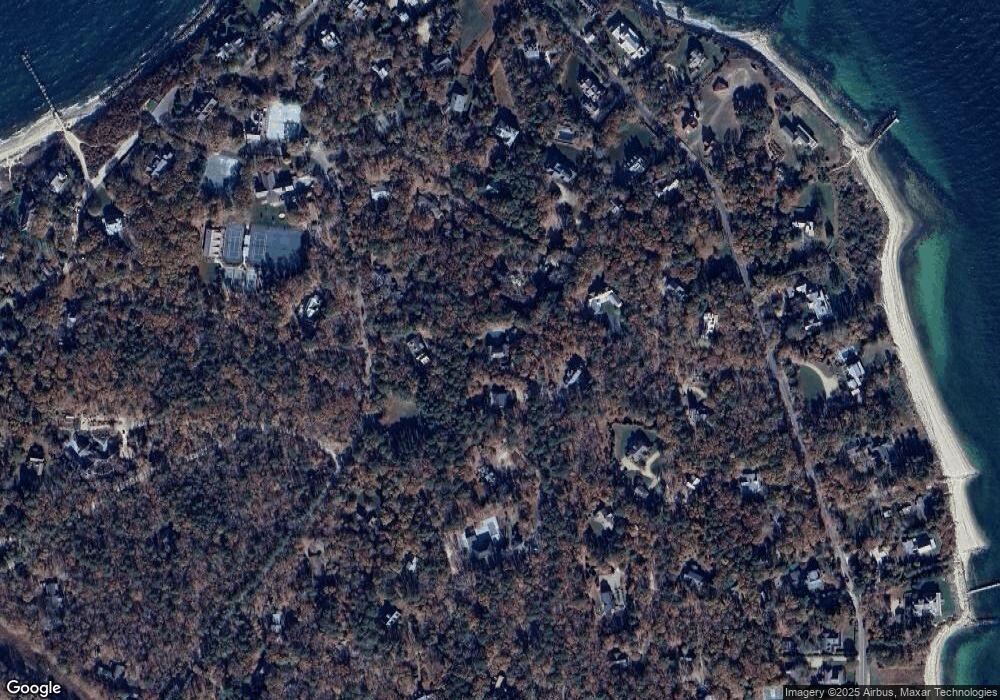
Map
Nearby Homes
- 825 Main St
- 735 Franklin St
- 41 Crowell Ln
- 9 Hagerty Dr
- 63 Crowell Ln
- 64 Crowell Ln
- 5 Pine Tree Ln
- 28 Pine Tree Ln
- 113 Leonard Cir
- 33 Goethals Way
- 22 Clark Ave
- 00 Bernard Cir Unit 10
- 22 Old Lighthouse Rd
- 150 Cove Rd Unit 10
- 209 Cove Rd
- 185 Sandpiper Ln Unit 12
- 261 Sandpiper Ln Unit 12
- 36 Tashmoo Ave
- 151 Tashmoo Ave
- 158 Quinsigamond Ave
- 0 Algonquin Ave
- 165 Quinsigamond Ave
- 80 Iroquois Ave
- 829 Franklin St
- 184 Quinsigamond Ave
- 96 Algonquin Ave
- 847 Franklin St
- 116 Iroquois Ave
- 107 Iroquois Ave
- 36 Cayuga St
- 119 Quinsigamond Ave
- 0 Cayuga St Unit 9252
- 0 Cayuga St Unit 20089
- 0 Cayuga St Unit 30710
- 0 Cayuga St Unit 10531
- 0 Cayuga St Unit 11390
- 0 Cayuga St Unit 20507995
- 209 Quinsigamond Ave
- 850 Franklin St