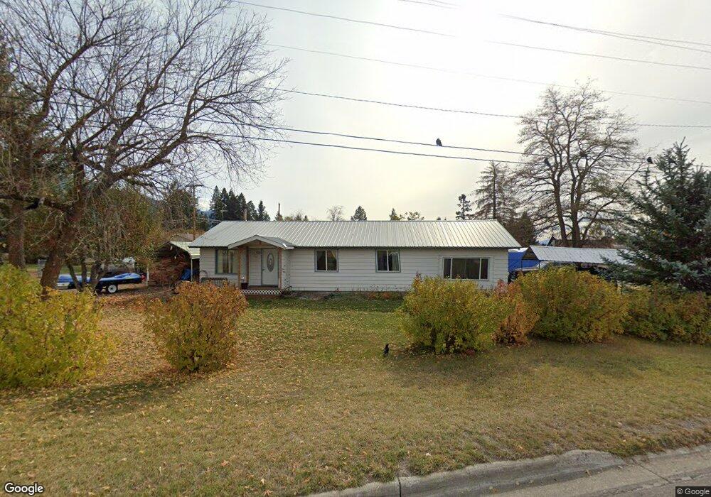
162 Railroad St E Columbia Falls, MT 59912
Estimated Value: $384,799 - $406,000
4
Beds
1
Bath
1,484
Sq Ft
$268/Sq Ft
Est. Value
About This Home
This home is located at 162 Railroad St E, Columbia Falls, MT 59912 and is currently estimated at $397,933, approximately $268 per square foot. 162 Railroad St E is a home located in Flathead County with nearby schools including Glacier Gateway Elementary School, Columbia Falls Junior High School (7-8), and Columbia Falls High School.
Ownership History
Date
Name
Owned For
Owner Type
Purchase Details
Closed on
Jan 30, 2017
Sold by
Jensen Wanda J and Tonga Wanda
Bought by
Jensen Wanda J
Current Estimated Value
Home Financials for this Owner
Home Financials are based on the most recent Mortgage that was taken out on this home.
Original Mortgage
$123,400
Outstanding Balance
$62,579
Interest Rate
4.3%
Mortgage Type
New Conventional
Estimated Equity
$335,354
Purchase Details
Closed on
Sep 13, 2007
Sold by
Trowbridge Robert K and Trowbridge Tina E
Bought by
Tonga Wanda
Home Financials for this Owner
Home Financials are based on the most recent Mortgage that was taken out on this home.
Original Mortgage
$155,102
Interest Rate
6.61%
Mortgage Type
New Conventional
Create a Home Valuation Report for This Property
The Home Valuation Report is an in-depth analysis detailing your home's value as well as a comparison with similar homes in the area
Home Values in the Area
Average Home Value in this Area
Purchase History
| Date | Buyer | Sale Price | Title Company |
|---|---|---|---|
| Jensen Wanda J | -- | First American Title | |
| Tonga Wanda | -- | Citizens Title And Escrow Co |
Source: Public Records
Mortgage History
| Date | Status | Borrower | Loan Amount |
|---|---|---|---|
| Open | Jensen Wanda J | $123,400 | |
| Closed | Tonga Wanda | $155,102 |
Source: Public Records
Tax History Compared to Growth
Tax History
| Year | Tax Paid | Tax Assessment Tax Assessment Total Assessment is a certain percentage of the fair market value that is determined by local assessors to be the total taxable value of land and additions on the property. | Land | Improvement |
|---|---|---|---|---|
| 2025 | $1,559 | $360,200 | $0 | $0 |
| 2024 | $1,833 | $260,200 | $0 | $0 |
| 2023 | $2,006 | $260,200 | $0 | $0 |
| 2022 | $2,060 | $206,000 | $0 | $0 |
| 2021 | $2,280 | $206,000 | $0 | $0 |
| 2020 | $2,017 | $163,600 | $0 | $0 |
| 2019 | $1,923 | $163,600 | $0 | $0 |
| 2018 | $1,625 | $129,900 | $0 | $0 |
| 2017 | $1,576 | $129,900 | $0 | $0 |
| 2016 | $1,599 | $129,900 | $0 | $0 |
| 2015 | $1,587 | $129,900 | $0 | $0 |
| 2014 | $1,609 | $79,394 | $0 | $0 |
Source: Public Records
Map
Nearby Homes
- 409 1st Street East N
- 221 2nd Ave W
- 324 1st Ave E
- 307 5th St E
- 2225 Tamarack Ln
- 519 Nucleus Ave Unit Suite 303
- 540 Nucleus Ave Unit 304
- 540 Nucleus Ave Unit 306
- 812 4th Ave E
- 1020 3rd Ave E
- 12 Mitchell Way
- 875 River Ave
- 943 Frontage Rd
- 929 9th St W
- 9 Cedar Pointe Loop
- 659 Us Highway 2 E
- 830 11th St W
- 450 Highway 2 E
- 1605 & 1629 4th Ave W
- 1295 Tamarack Ln
- 363 1st Ave E
- 161 B Street East N
- 388 2nd Avenue East N
- 370 2nd St E
- NHN St Andrews
- 285 1st Ave W
- 355 2nd Avenue East N
- 80 Railroad St E
- 180 B Street East N
- 385 2nd St E
- 355 2nd St E
- 355 2nd Ave W
- 355 2nd Ave E
- 273 1st Ave W
- 5 N Fork Rd
- 4 N Fork Rd
- 3 N Fork Rd
- 2 N Fork Rd
- 280 1st Avenue East N
- 371 2nd Avenue East N