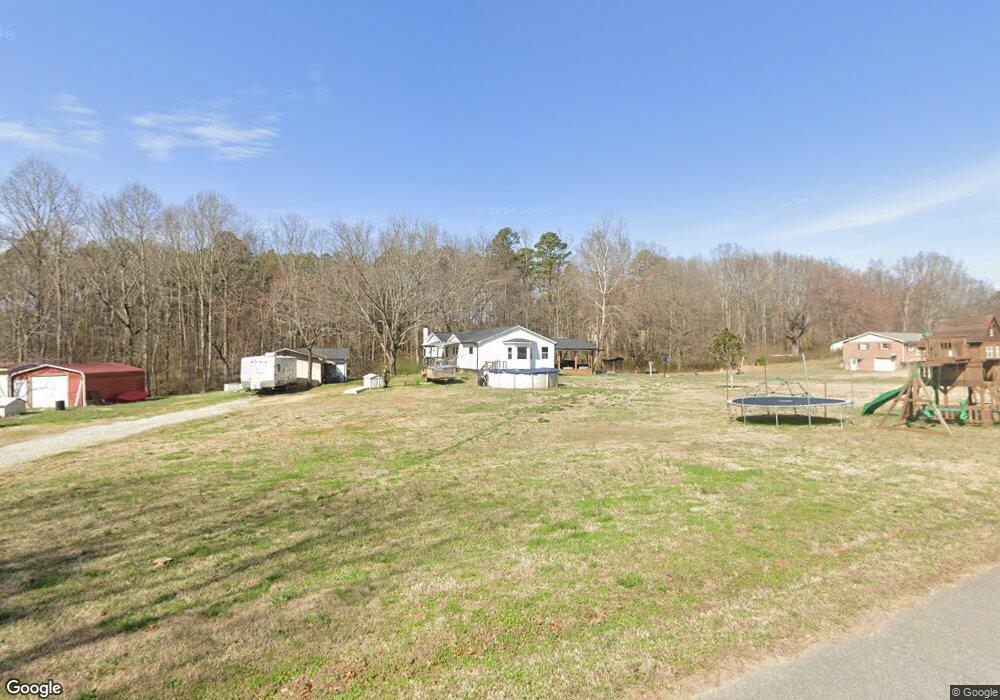
162 Shell St Lincolnton, NC 28092
Estimated Value: $261,000 - $286,000
3
Beds
3
Baths
2,179
Sq Ft
$127/Sq Ft
Est. Value
About This Home
This home is located at 162 Shell St, Lincolnton, NC 28092 and is currently estimated at $276,817, approximately $127 per square foot. 162 Shell St is a home located in Lincoln County with nearby schools including Battleground Elementary School, Lincolnton Middle School, and Lincolnton High School.
Ownership History
Date
Name
Owned For
Owner Type
Purchase Details
Closed on
Apr 8, 2025
Sold by
Sronce Shantell
Bought by
Sronce Jacob
Current Estimated Value
Purchase Details
Closed on
Jul 30, 2018
Sold by
Sronce Jeffrey Ray and Sronce Teresa
Bought by
Sronce Jacob and Sronce Shantell
Home Financials for this Owner
Home Financials are based on the most recent Mortgage that was taken out on this home.
Original Mortgage
$80,000
Interest Rate
4.6%
Mortgage Type
New Conventional
Create a Home Valuation Report for This Property
The Home Valuation Report is an in-depth analysis detailing your home's value as well as a comparison with similar homes in the area
Purchase History
| Date | Buyer | Sale Price | Title Company |
|---|---|---|---|
| Sronce Jacob | -- | None Listed On Document | |
| Sronce Jacob | -- | None Listed On Document | |
| Sronce Jacob | $100,000 | None Available |
Source: Public Records
Mortgage History
| Date | Status | Borrower | Loan Amount |
|---|---|---|---|
| Previous Owner | Sronce Jacob | $80,000 |
Source: Public Records
Tax History
| Year | Tax Paid | Tax Assessment Tax Assessment Total Assessment is a certain percentage of the fair market value that is determined by local assessors to be the total taxable value of land and additions on the property. | Land | Improvement |
|---|---|---|---|---|
| 2025 | $1,897 | $175,842 | $28,092 | $147,750 |
| 2024 | $1,877 | $175,842 | $28,092 | $147,750 |
| 2023 | $1,872 | $175,842 | $28,092 | $147,750 |
| 2022 | $1,257 | $96,837 | $21,855 | $74,982 |
| 2021 | $1,349 | $96,837 | $21,855 | $74,982 |
| 2020 | $1,122 | $96,837 | $21,855 | $74,982 |
| 2019 | $1,122 | $96,837 | $21,855 | $74,982 |
| 2018 | $1,356 | $98,570 | $19,292 | $79,278 |
| 2017 | $616 | $98,570 | $19,292 | $79,278 |
| 2016 | $616 | $98,570 | $19,292 | $79,278 |
| 2015 | $733 | $98,570 | $19,292 | $79,278 |
| 2014 | $660 | $100,144 | $20,866 | $79,278 |
Source: Public Records
Map
Nearby Homes
- 00 Shell St
- 00 Eastview Dr
- 135 Spring Meadows Dr
- 266 Valerie Dr
- 107 Carpenter St
- 304 Valerie Dr
- 324 Valerie Dr
- 0 Wilma Sigmon Rd Unit A
- 0 Industrial Park Rd
- 2350, 1912 N Aspen St
- Lot 49 Hares Way
- Lot 51 Hares Way
- Lot 50 Hares Way
- 675 Hares Way
- 00 Walker Branch Rd
- 221 Newbold St
- 1156 Walker Branch Rd
- 00 Roper Dr
- 906 N Flint St
- 202 Newbold St
- 172 Shell St
- 171 Shell St
- 146 Shell St
- 122 Eastview Dr Unit 124
- 125 Eastview Dr
- 125 Eastview Dr Unit 2
- 214 Valerie Dr Unit 19
- 214 Valerie Dr
- 210 Valerie Dr Unit 20
- 210 Valerie Dr
- 218 Valerie Dr Unit 18
- 218 Valerie Dr
- 204 Valerie Dr
- 204 Valerie Dr Unit 21
- 42 Valerie Dr
- 30 Valerie Dr
- 28 Valerie Dr
- 123 Eastview Dr
- 200 Valerie Dr
- 200 Valerie Dr Unit 22
Your Personal Tour Guide
Ask me questions while you tour the home.