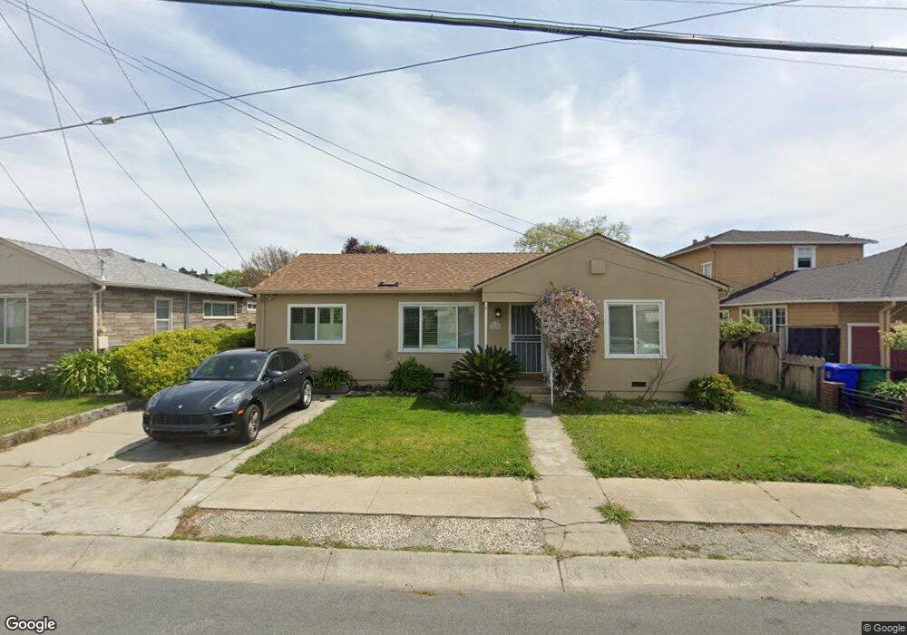
1620 142nd Ave San Leandro, CA 94578
Upper Bal NeighborhoodEstimated Value: $734,000 - $821,000
2
Beds
1
Bath
846
Sq Ft
$928/Sq Ft
Est. Value
About This Home
This home is located at 1620 142nd Ave, San Leandro, CA 94578 and is currently estimated at $785,149, approximately $928 per square foot. 1620 142nd Ave is a home located in Alameda County with nearby schools including Jefferson Elementary School, Bancroft Middle School, and San Leandro High School.
Ownership History
Date
Name
Owned For
Owner Type
Purchase Details
Closed on
Oct 1, 2020
Sold by
Perata Marianne A
Bought by
Ngo Jennie V and Garrido Bryan
Current Estimated Value
Home Financials for this Owner
Home Financials are based on the most recent Mortgage that was taken out on this home.
Original Mortgage
$580,000
Outstanding Balance
$515,879
Interest Rate
2.9%
Mortgage Type
New Conventional
Estimated Equity
$269,270
Purchase Details
Closed on
Feb 19, 2016
Sold by
Perata Marianne A and Rego Marianne A
Bought by
Perata Marianne A
Home Financials for this Owner
Home Financials are based on the most recent Mortgage that was taken out on this home.
Original Mortgage
$365,368
Interest Rate
3.81%
Mortgage Type
New Conventional
Create a Home Valuation Report for This Property
The Home Valuation Report is an in-depth analysis detailing your home's value as well as a comparison with similar homes in the area
Home Values in the Area
Average Home Value in this Area
Purchase History
| Date | Buyer | Sale Price | Title Company |
|---|---|---|---|
| Ngo Jennie V | $725,000 | Placer Title Company | |
| Perata Marianne A | -- | None Available | |
| Perata Marianne A | -- | None Available |
Source: Public Records
Mortgage History
| Date | Status | Borrower | Loan Amount |
|---|---|---|---|
| Open | Ngo Jennie V | $580,000 | |
| Previous Owner | Perata Marianne A | $365,368 |
Source: Public Records
Tax History Compared to Growth
Tax History
| Year | Tax Paid | Tax Assessment Tax Assessment Total Assessment is a certain percentage of the fair market value that is determined by local assessors to be the total taxable value of land and additions on the property. | Land | Improvement |
|---|---|---|---|---|
| 2025 | $10,117 | $784,754 | $235,426 | $549,328 |
| 2024 | $10,117 | $769,370 | $230,811 | $538,559 |
| 2023 | $10,141 | $754,290 | $226,287 | $528,003 |
| 2022 | $9,840 | $739,500 | $221,850 | $517,650 |
| 2021 | $9,568 | $725,000 | $217,500 | $507,500 |
| 2020 | $3,851 | $273,437 | $82,110 | $191,327 |
| 2019 | $3,726 | $268,076 | $80,500 | $187,576 |
| 2018 | $3,888 | $262,820 | $78,922 | $183,898 |
| 2017 | $3,541 | $257,668 | $77,375 | $180,293 |
| 2016 | $3,347 | $252,617 | $75,858 | $176,759 |
| 2015 | $3,280 | $248,823 | $74,719 | $174,104 |
| 2014 | $3,253 | $243,951 | $73,256 | $170,695 |
Source: Public Records
Map
Nearby Homes
- 2724 Benedict Dr
- 1293 Vistagrand Dr
- 14101 E 14th St Unit 306
- 14625 Bancroft Ave
- 1939 Placer Dr
- 1253 139th Ave
- 0 Saturn Dr
- 14683 Midland Rd
- 2147 Trombas Ave
- 1162 136th Ave
- 14960 Portofino Cir
- 14955 Lark St
- 14972 Lark St
- 14973 Patton Ave
- 2290 Upland Rd
- 2399 E 14th St Unit 179
- 2399 E 14th St Unit 19
- 2399 E 14th St Unit 143
- 2399 E 14th St Unit 66
- 2399 E 14th St Unit 159