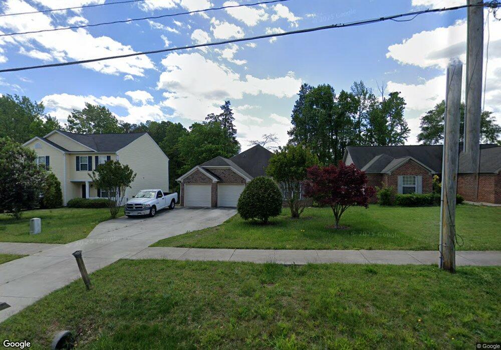
1620 Cedrow Dr High Point, NC 27260
Greater High Point NeighborhoodEstimated Value: $197,000 - $325,000
3
Beds
2
Baths
1,489
Sq Ft
$164/Sq Ft
Est. Value
About This Home
This home is located at 1620 Cedrow Dr, High Point, NC 27260 and is currently estimated at $243,685, approximately $163 per square foot. 1620 Cedrow Dr is a home located in Guilford County with nearby schools including Jamestown Elementary School, Southwest Guilford Middle School, and Southwest Guilford High School.
Ownership History
Date
Name
Owned For
Owner Type
Purchase Details
Closed on
May 23, 2011
Sold by
Balazsi Julia Frances and Dixon Annaneshia Rochelle
Bought by
Plunkett Shantella M
Current Estimated Value
Home Financials for this Owner
Home Financials are based on the most recent Mortgage that was taken out on this home.
Original Mortgage
$134,988
Outstanding Balance
$93,247
Interest Rate
4.75%
Mortgage Type
FHA
Estimated Equity
$150,438
Purchase Details
Closed on
Aug 28, 2008
Sold by
The Kindred Group Llc
Bought by
Balazsi Julia Frances and Dixon Annaneshia Rochelle
Home Financials for this Owner
Home Financials are based on the most recent Mortgage that was taken out on this home.
Original Mortgage
$134,060
Interest Rate
6.21%
Mortgage Type
FHA
Create a Home Valuation Report for This Property
The Home Valuation Report is an in-depth analysis detailing your home's value as well as a comparison with similar homes in the area
Home Values in the Area
Average Home Value in this Area
Purchase History
| Date | Buyer | Sale Price | Title Company |
|---|---|---|---|
| Plunkett Shantella M | $138,500 | None Available | |
| Balazsi Julia Frances | $136,500 | None Available |
Source: Public Records
Mortgage History
| Date | Status | Borrower | Loan Amount |
|---|---|---|---|
| Open | Plunkett Shantella M | $134,988 | |
| Previous Owner | Balazsi Julia Frances | $134,060 |
Source: Public Records
Tax History
| Year | Tax Paid | Tax Assessment Tax Assessment Total Assessment is a certain percentage of the fair market value that is determined by local assessors to be the total taxable value of land and additions on the property. | Land | Improvement |
|---|---|---|---|---|
| 2025 | $2,870 | $208,300 | $30,000 | $178,300 |
| 2024 | $2,870 | $208,300 | $30,000 | $178,300 |
| 2023 | $2,870 | $208,300 | $30,000 | $178,300 |
| 2022 | $2,808 | $208,300 | $30,000 | $178,300 |
| 2021 | $1,833 | $133,000 | $11,900 | $121,100 |
| 2020 | $1,833 | $133,000 | $11,900 | $121,100 |
| 2019 | $1,833 | $133,000 | $0 | $0 |
| 2018 | $1,824 | $133,000 | $0 | $0 |
| 2017 | $1,824 | $133,000 | $0 | $0 |
| 2016 | $1,864 | $132,900 | $0 | $0 |
| 2015 | $1,874 | $132,900 | $0 | $0 |
| 2014 | $1,906 | $132,900 | $0 | $0 |
Source: Public Records
Map
Nearby Homes
- 1451 Finsbury Ln
- 1456 London Dr
- 600 Hendrix St
- 3206 Crestview Dr
- 615 Hendrix St
- 120 Orville Dr
- 3215 E Martin Luther King Junior Dr
- 735 Hendrix St
- 737 Hendrix St
- 206 Paramount St
- 2305 Delaware Place
- 122 Orville Dr
- 224 Friendly Ave
- 1707 Brockett Ave
- 210 Morgan Place
- 222 Charles Ave
- 2715 Central Ave
- 1702 Brockett Ave
- 509 Valleybrook Dr
- 210 Paramount St
- 1616 Cedrow Dr
- 1624 Cedrow Dr
- 1612 Cedrow Dr
- 1626 Cedrow Dr
- 1683 Carthage Ln
- 1679 Carthage Ln
- 1687 Carthage Ln
- 1608 Cedrow Dr
- 1675 Carthage Ln
- 1628 Cedrow Dr
- 1609 Cedrow Dr
- 1611 Cedrow Dr
- 1671 Carthage Ln
- 1607 Cedrow Dr
- 1604 Cedrow Dr
- 401 Runyon Dr
- 6 Carthage Ln
- 5 Carthage Ln
- 12 Carthage Ln
- 1667 Carthage Ln
Your Personal Tour Guide
Ask me questions while you tour the home.