1620 Chief Joseph Trail Big Sky, MT 59716
Big Sky NeighborhoodEstimated Value: $5,344,000 - $8,831,246
4
Beds
5
Baths
5,935
Sq Ft
$1,194/Sq Ft
Est. Value
About This Home
This home is located at 1620 Chief Joseph Trail, Big Sky, MT 59716 and is currently estimated at $7,087,623, approximately $1,194 per square foot. 1620 Chief Joseph Trail is a home located in Gallatin County with nearby schools including Ophir Elementary School, Ophir Junior High School, and Lone Peak High School.
Ownership History
Date
Name
Owned For
Owner Type
Purchase Details
Closed on
Sep 13, 2005
Sold by
Stayner Robert M and Stayner Patricia W
Bought by
Johnson Scott D and Johnson Martha S
Current Estimated Value
Home Financials for this Owner
Home Financials are based on the most recent Mortgage that was taken out on this home.
Original Mortgage
$1,820,000
Outstanding Balance
$940,223
Interest Rate
5.5%
Mortgage Type
Fannie Mae Freddie Mac
Estimated Equity
$6,147,400
Create a Home Valuation Report for This Property
The Home Valuation Report is an in-depth analysis detailing your home's value as well as a comparison with similar homes in the area
Home Values in the Area
Average Home Value in this Area
Purchase History
| Date | Buyer | Sale Price | Title Company |
|---|---|---|---|
| Johnson Scott D | -- | Security Title Company |
Source: Public Records
Mortgage History
| Date | Status | Borrower | Loan Amount |
|---|---|---|---|
| Open | Johnson Scott D | $1,820,000 |
Source: Public Records
Tax History Compared to Growth
Tax History
| Year | Tax Paid | Tax Assessment Tax Assessment Total Assessment is a certain percentage of the fair market value that is determined by local assessors to be the total taxable value of land and additions on the property. | Land | Improvement |
|---|---|---|---|---|
| 2025 | $54,988 | $8,431,620 | $0 | $0 |
| 2024 | $43,402 | $7,721,500 | $0 | $0 |
| 2023 | $41,542 | $7,721,500 | $0 | $0 |
| 2022 | $40,550 | $4,995,471 | $0 | $0 |
| 2021 | $39,551 | $4,995,471 | $0 | $0 |
| 2020 | $29,858 | $3,853,591 | $0 | $0 |
| 2019 | $27,306 | $3,853,591 | $0 | $0 |
| 2018 | $18,030 | $2,550,788 | $0 | $0 |
| 2017 | $16,948 | $2,550,788 | $0 | $0 |
| 2016 | $17,058 | $2,173,368 | $0 | $0 |
| 2015 | $16,879 | $2,173,368 | $0 | $0 |
| 2014 | $21,905 | $1,885,847 | $0 | $0 |
Source: Public Records
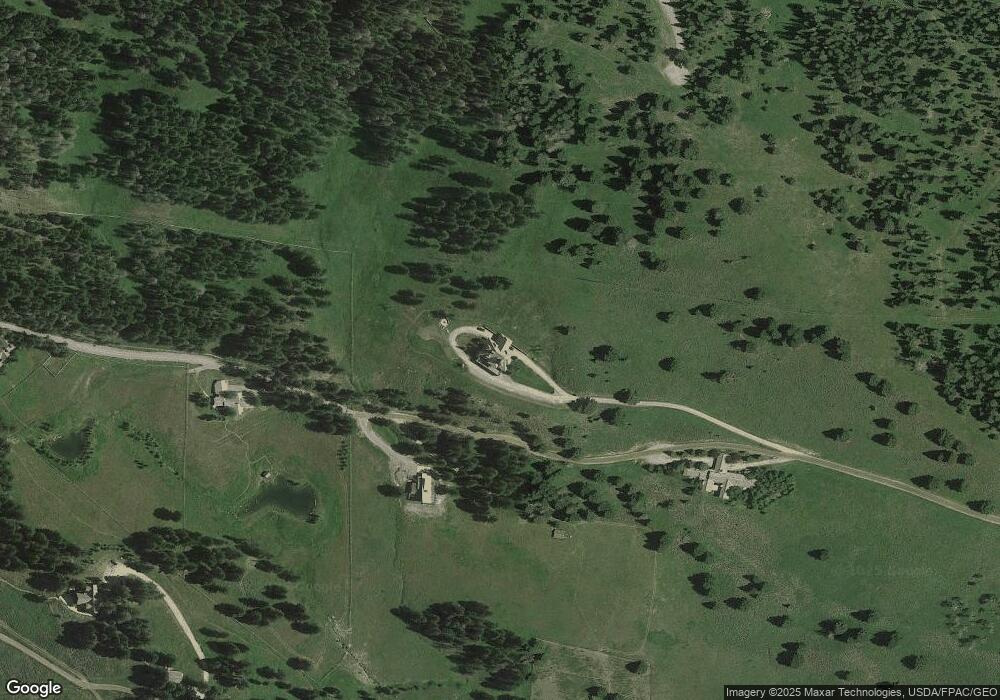
Map
Nearby Homes
- TBD Chief Joseph Trail
- 35 N Fork Rd
- 2780 Bobtail Horse Rd
- 2775 Bobtail Horse Rd
- 2555 Little Coyote Rd
- 2500 Little Coyote Rd Unit 52
- TBD Little Coyote Rd
- 2325 Crazy Horse Rd
- 45 Turkey Leg Rd Unit 1027
- 45 Turkey Leg Rd Unit 1049
- 2415 Crazy Horse Rd
- 2025 Little Coyote Rd Unit 191
- 32 Rose Hip Unit N-3
- 765 Antler Ridge Rd
- 2575 Curley Bear Rd Unit 124
- 525 Fourpoint Rd
- 2695 Curly Bear Rd
- 148 Crail Creek Ct Unit 631
- 30 Crail Creek Ct
- 52 Spotted Elk Rd
- TBD 3b-1 Upper Chief Joseph Trail
- 1929 Chief Joseph Trail
- 1619 Chief Joseph Trail
- Lot 1A-1 Upper Chief Joseph Trail
- Tract 1A-1 Chief Joseph Trail
- 1090 Chief Joseph Trail
- Lot 3B-1 Upper Chief Joseph Rd
- 2005 Chief Joseph Trail
- 2100 N Fork Rd
- Tract 2 N Fork Rd
- 25 Upper Chief Joseph Trail
- Tract 3A Upper Chief Joseph Trail
- Tract 4A Upper Chief Joseph Trail
- 1221 Chief Joseph Trail
- TBD N Fork Rd
- Tract 8 N Fork Rd
- Lot #3A Chief Joseph Trail
- 0 Chief Joseph Trail
- Lot #3B-1 Chief Joseph Trail
- 2860 Chief Joseph Trail