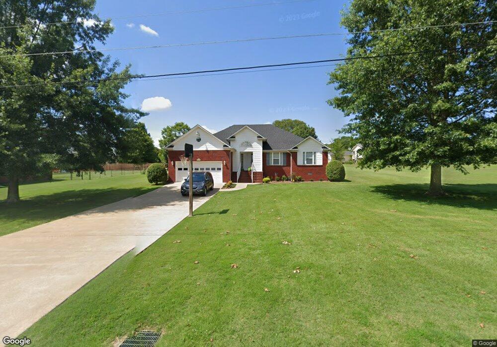
1620 Lance Dr Lawrenceburg, TN 38464
Estimated Value: $305,000 - $346,000
3
Beds
2
Baths
1,904
Sq Ft
$173/Sq Ft
Est. Value
About This Home
This home is located at 1620 Lance Dr, Lawrenceburg, TN 38464 and is currently estimated at $328,637, approximately $172 per square foot. 1620 Lance Dr is a home located in Lawrence County with nearby schools including Ingram Sowell Elementary School, Lawrenceburg Public Elementary School, and David Crockett Elementary School.
Ownership History
Date
Name
Owned For
Owner Type
Purchase Details
Closed on
Jul 26, 2016
Sold by
Hutton George
Bought by
Cruz Elfego and Cruz Juana
Current Estimated Value
Purchase Details
Closed on
Sep 12, 2014
Sold by
Stanford Thomas H
Bought by
Hutton George and Hutton Judith
Purchase Details
Closed on
Nov 1, 2001
Sold by
Kerstiens Construction Inc
Bought by
Thomas Stanford
Purchase Details
Closed on
Oct 15, 1999
Bought by
Kerstein Construction Inc
Purchase Details
Closed on
Jul 1, 1988
Bought by
Mcgee Joe and Mcgee Veronica R
Create a Home Valuation Report for This Property
The Home Valuation Report is an in-depth analysis detailing your home's value as well as a comparison with similar homes in the area
Home Values in the Area
Average Home Value in this Area
Purchase History
| Date | Buyer | Sale Price | Title Company |
|---|---|---|---|
| Cruz Elfego | $160,000 | -- | |
| Hutton George | $165,000 | -- | |
| Thomas Stanford | $139,500 | -- | |
| Kerstein Construction Inc | $27,000 | -- | |
| Mcgee Joe | -- | -- |
Source: Public Records
Tax History Compared to Growth
Tax History
| Year | Tax Paid | Tax Assessment Tax Assessment Total Assessment is a certain percentage of the fair market value that is determined by local assessors to be the total taxable value of land and additions on the property. | Land | Improvement |
|---|---|---|---|---|
| 2025 | $1,226 | $60,975 | $0 | $0 |
| 2024 | $1,226 | $60,975 | $5,000 | $55,975 |
| 2023 | $1,226 | $60,975 | $5,000 | $55,975 |
| 2022 | $1,226 | $60,975 | $5,000 | $55,975 |
| 2021 | $1,054 | $35,625 | $2,125 | $33,500 |
| 2020 | $1,054 | $35,625 | $2,125 | $33,500 |
| 2019 | $1,054 | $35,625 | $2,125 | $33,500 |
| 2018 | $1,054 | $35,625 | $2,125 | $33,500 |
| 2017 | $1,054 | $35,625 | $2,125 | $33,500 |
| 2016 | $1,054 | $35,625 | $2,125 | $33,500 |
| 2015 | $976 | $35,625 | $2,125 | $33,500 |
| 2014 | $900 | $32,875 | $2,125 | $30,750 |
Source: Public Records
Map
Nearby Homes
- 114 Hummingbird Ln
- 132 Sundance Dr
- 52 Beuerlein Cir
- 31 Community Rd
- 14 Delana Ave
- 729 Weakley Creek Rd
- 975 Weakley Creek Rd
- 4000 Weakley Creek Rd
- 970 9th St
- 4951 Weakley Creek Rd
- 0 Woodland Cir Unit RTC3033314
- 48 Woodland Cir
- 1050 Baylee Cir
- 1083 Mattox Town Rd
- 801 Douglas Dr
- 1088 Mattox Town Rd
- 1303 5th Ave
- 717 Toben Terrace
- 1280 E Gaines St
- 111 Grandview Dr