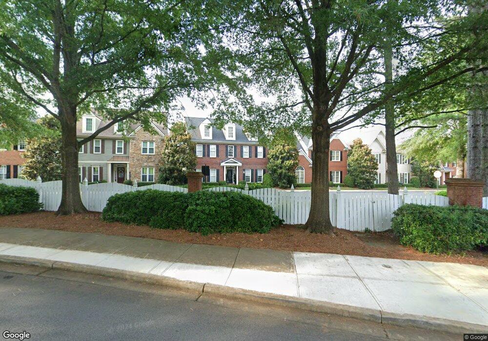
1620 Morningside Trace Marietta, GA 30062
Eastern Marietta NeighborhoodEstimated Value: $463,266 - $532,000
3
Beds
3
Baths
2,454
Sq Ft
$203/Sq Ft
Est. Value
About This Home
This home is located at 1620 Morningside Trace, Marietta, GA 30062 and is currently estimated at $498,317, approximately $203 per square foot. 1620 Morningside Trace is a home located in Cobb County with nearby schools including Sawyer Road Elementary School, Marietta Sixth Grade Academy, and Marietta Middle School.
Ownership History
Date
Name
Owned For
Owner Type
Purchase Details
Closed on
Oct 30, 2018
Sold by
Applegate Linda A
Bought by
Buyer Linda J
Current Estimated Value
Home Financials for this Owner
Home Financials are based on the most recent Mortgage that was taken out on this home.
Original Mortgage
$249,600
Outstanding Balance
$216,757
Interest Rate
4.7%
Mortgage Type
New Conventional
Estimated Equity
$281,560
Purchase Details
Closed on
May 4, 2000
Sold by
Homes By Williamscraft Inc
Bought by
Applegate Linda A
Home Financials for this Owner
Home Financials are based on the most recent Mortgage that was taken out on this home.
Original Mortgage
$173,000
Interest Rate
8.23%
Mortgage Type
New Conventional
Create a Home Valuation Report for This Property
The Home Valuation Report is an in-depth analysis detailing your home's value as well as a comparison with similar homes in the area
Home Values in the Area
Average Home Value in this Area
Purchase History
| Date | Buyer | Sale Price | Title Company |
|---|---|---|---|
| Buyer Linda J | $312,000 | -- | |
| Applegate Linda A | $230,800 | -- |
Source: Public Records
Mortgage History
| Date | Status | Borrower | Loan Amount |
|---|---|---|---|
| Open | Buyer Linda J | $249,600 | |
| Previous Owner | Applegate Linda A | $173,000 |
Source: Public Records
Tax History
| Year | Tax Paid | Tax Assessment Tax Assessment Total Assessment is a certain percentage of the fair market value that is determined by local assessors to be the total taxable value of land and additions on the property. | Land | Improvement |
|---|---|---|---|---|
| 2025 | $827 | $190,956 | $44,000 | $146,956 |
| 2024 | $827 | $190,956 | $44,000 | $146,956 |
| 2023 | $675 | $141,316 | $36,000 | $105,316 |
Source: Public Records
Map
Nearby Homes
- 1533 Reids Ferry Way
- 1519 Evanston Ln
- 1580 Reids Ferry Way
- 1730 Blakeney Ln
- 1442 Glenover Cir
- 1680 Wingard Dr
- 1628 Warsaw Pointe
- 1453 Brentwood Dr
- 1461 Gateview Way
- 1607 Brentwood Dr
- 1701 Tappahannock Trail
- 1951 Branch View Dr
- 1950 Branch View Dr
- 1716 Chanson Place
- 1605 Tappahannock Trail
- 2132 Carefree Cir Unit 10
- 1834 Butterfly Way
- 1490 Longwing Ln
- 1425 Rosewood Creek Dr
- 1850 Butterfly Way NE
- 1624 Morningside Trace
- 1616 Morningside Trace Unit 16616
- 1616 Morningside Trace
- 1616 Morningside Trace Unit 1616
- 1612 Morningside Trace
- 1628 Morningside Trace
- 1529 Reids Ferry Way
- 1537 Reids Ferry Way
- 1621 Morningside Trace
- 1617 Morningside Trace
- 1525 Reids Ferry Way
- 1625 Morningside Trace
- 1541 Reids Ferry Way
- 1608 Morningside Trace
- 1613 Morningside Trace
- 1632 Morningside Trace
- 1609 Morningside Trace
- 1545 Reids Ferry Way
- 1640 Morningside Trace
- 1659 Morningside Trace
Your Personal Tour Guide
Ask me questions while you tour the home.