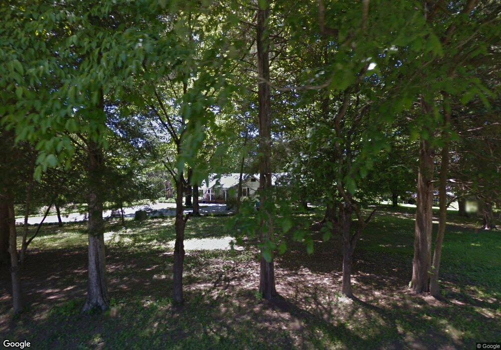
1620 Shadwick Cemetery Rd Hixson, TN 37343
Estimated Value: $232,968 - $307,000
2
Beds
1
Bath
1,484
Sq Ft
$183/Sq Ft
Est. Value
About This Home
This home is located at 1620 Shadwick Cemetery Rd, Hixson, TN 37343 and is currently estimated at $271,992, approximately $183 per square foot. 1620 Shadwick Cemetery Rd is a home located in Hamilton County with nearby schools including Ganns Middle Valley Elementary School, Hixson Middle School, and Hixson High School.
Ownership History
Date
Name
Owned For
Owner Type
Purchase Details
Closed on
Jan 29, 2008
Sold by
Layne David and Layne Katherine
Bought by
Steele Jack D and Steele Janice C
Current Estimated Value
Home Financials for this Owner
Home Financials are based on the most recent Mortgage that was taken out on this home.
Original Mortgage
$125,000
Outstanding Balance
$79,094
Interest Rate
6.12%
Mortgage Type
Unknown
Estimated Equity
$192,898
Purchase Details
Closed on
Aug 5, 2004
Sold by
Rheay Delores Faye
Bought by
Layne Glenn David and Layne Katherine
Purchase Details
Closed on
Dec 3, 1999
Sold by
Smith Julian Odell and Smith Robbie Louie
Bought by
Smith Julian Odell and Smith Robbie Louise
Create a Home Valuation Report for This Property
The Home Valuation Report is an in-depth analysis detailing your home's value as well as a comparison with similar homes in the area
Home Values in the Area
Average Home Value in this Area
Purchase History
| Date | Buyer | Sale Price | Title Company |
|---|---|---|---|
| Steele Jack D | $160,000 | Warranty Title Ins Co Inc | |
| Layne Glenn David | $80,000 | -- | |
| Smith Julian Odell | -- | Legal Title & Escrow Inc |
Source: Public Records
Mortgage History
| Date | Status | Borrower | Loan Amount |
|---|---|---|---|
| Open | Steele Jack D | $125,000 |
Source: Public Records
Tax History Compared to Growth
Tax History
| Year | Tax Paid | Tax Assessment Tax Assessment Total Assessment is a certain percentage of the fair market value that is determined by local assessors to be the total taxable value of land and additions on the property. | Land | Improvement |
|---|---|---|---|---|
| 2024 | $647 | $28,900 | $0 | $0 |
| 2023 | $656 | $28,900 | $0 | $0 |
| 2022 | $656 | $28,900 | $0 | $0 |
| 2021 | $656 | $28,900 | $0 | $0 |
| 2020 | $642 | $22,900 | $0 | $0 |
| 2019 | $642 | $22,900 | $0 | $0 |
| 2018 | $642 | $22,900 | $0 | $0 |
| 2017 | $642 | $22,900 | $0 | $0 |
| 2016 | $591 | $0 | $0 | $0 |
| 2015 | $591 | $21,050 | $0 | $0 |
| 2014 | $591 | $0 | $0 | $0 |
Source: Public Records
Map
Nearby Homes
- 1303 Neyland Cir
- 6506 Middle Valley Rd
- 2012 S Gold Point Cir
- 1046 Omaha Cir
- 974 Bluff Ledge Trail
- 1917 Chadwick Ct
- 8665 Reba Ln
- 1695 E Boy Scout Rd
- 450 Shannon Dr
- 920 Carrie Ln
- 7770 Lenox Trace Dr
- 7812 Huntington Forest Dr
- 1011 Little Sorrel Rd
- 1155 S Crestfield Ln
- 1125 Little Sorrel Rd
- 8692 Arbutus Dr
- 420 Shannon Dr
- 1157 Boy Scout Rd
- 999 Wyndsor Dr
- 7155 Crestfield Cir
- 1543 Courtland Dr
- 1539 Courtland Dr
- 1557 Courtland Dr
- 1525 Courtland Dr
- 1612 Shadwick Cemetery Rd
- 1626 Shadwick Cemetery Rd
- 7039 Middle Valley Rd
- 1517 Courtland Dr
- 1517 Courtland Dr Unit 5
- 1608 Shadwick Cemetery Rd
- 1621 Shadwick Cemetery Rd
- 1623 Shadwick Cemetery Rd
- 1536 Courtland Dr
- 7035 Middle Valley Rd
- 1625 Shadwick Cemetery Rd
- 1619 Shadwick Cemetery Rd
- 1550 Courtland Dr
- 1524 Courtland Dr
- 1617 Shadwick Cemetery Rd
- 1499 Courtland Dr