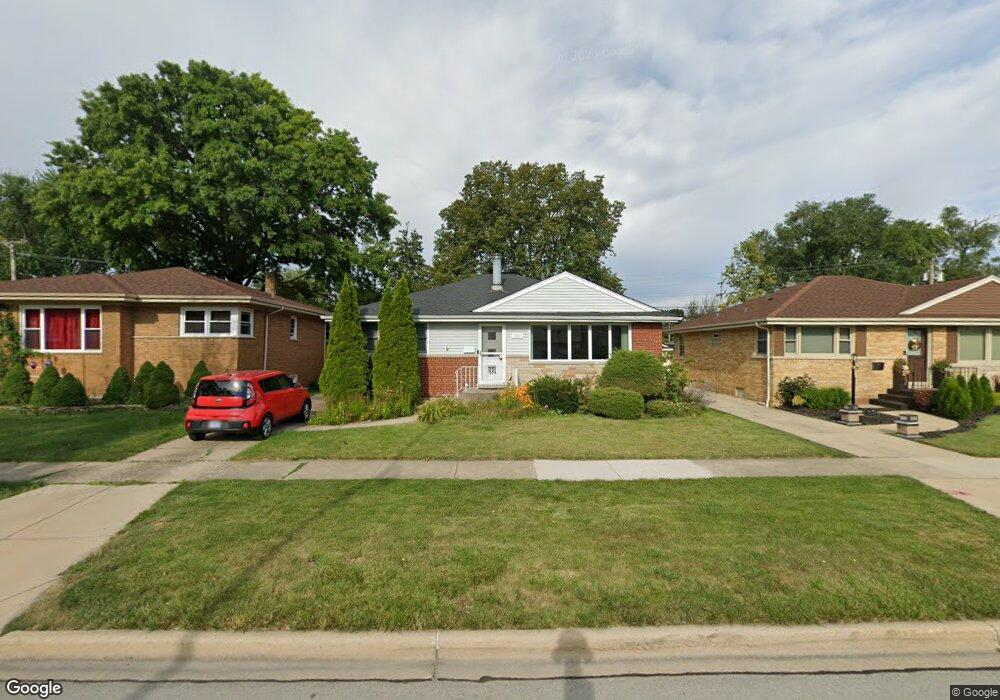
1620 Westchester Blvd Westchester, IL 60154
Estimated Value: $359,942 - $436,000
3
Beds
1
Bath
1,259
Sq Ft
$307/Sq Ft
Est. Value
About This Home
This home is located at 1620 Westchester Blvd, Westchester, IL 60154 and is currently estimated at $386,236, approximately $306 per square foot. 1620 Westchester Blvd is a home located in Cook County with nearby schools including Westchester Primary School, Westchester Intermediate School, and Westchester Middle School.
Ownership History
Date
Name
Owned For
Owner Type
Purchase Details
Closed on
Jan 22, 2021
Sold by
Pinter Robert P and Pinter Colette M
Bought by
Oconnor Kaeli and Monaco Nicole Marie
Current Estimated Value
Home Financials for this Owner
Home Financials are based on the most recent Mortgage that was taken out on this home.
Original Mortgage
$276,000
Outstanding Balance
$246,504
Interest Rate
2.75%
Mortgage Type
New Conventional
Estimated Equity
$139,732
Create a Home Valuation Report for This Property
The Home Valuation Report is an in-depth analysis detailing your home's value as well as a comparison with similar homes in the area
Home Values in the Area
Average Home Value in this Area
Purchase History
| Date | Buyer | Sale Price | Title Company |
|---|---|---|---|
| Oconnor Kaeli | $316,000 | Fort Dearborn Land Title |
Source: Public Records
Mortgage History
| Date | Status | Borrower | Loan Amount |
|---|---|---|---|
| Open | Oconnor Kaeli | $276,000 |
Source: Public Records
Tax History Compared to Growth
Tax History
| Year | Tax Paid | Tax Assessment Tax Assessment Total Assessment is a certain percentage of the fair market value that is determined by local assessors to be the total taxable value of land and additions on the property. | Land | Improvement |
|---|---|---|---|---|
| 2024 | $6,478 | $28,000 | $4,340 | $23,660 |
| 2023 | $6,638 | $28,000 | $4,340 | $23,660 |
| 2022 | $6,638 | $21,758 | $3,720 | $18,038 |
| 2021 | $5,442 | $21,758 | $3,720 | $18,038 |
| 2020 | $5,383 | $21,758 | $3,720 | $18,038 |
| 2019 | $5,274 | $22,099 | $3,410 | $18,689 |
| 2018 | $5,204 | $22,099 | $3,410 | $18,689 |
| 2017 | $5,120 | $22,099 | $3,410 | $18,689 |
| 2016 | $4,777 | $18,877 | $3,100 | $15,777 |
| 2015 | $4,680 | $18,877 | $3,100 | $15,777 |
| 2014 | $4,587 | $18,877 | $3,100 | $15,777 |
| 2013 | $4,860 | $21,963 | $3,100 | $18,863 |
Source: Public Records
Map
Nearby Homes
- 1803 Balmoral Ave
- 10324 Wight St
- 1847 Newcastle Ave
- 1406 Portsmouth Ave
- 1907 Suffolk Ave
- 1908 Belleview Ave
- 1318 Balmoral Ave
- 1816 Manchester Ave
- 1813 Manchester Ave
- 1900 Manchester Ave
- 10567 Waterford Dr
- 10531 Camelot St
- 1244 Westchester Blvd
- 10524 Camelot St
- 1500 Bristol Ave
- 1245 S Mannheim Rd Unit 2
- 1247 S Mannheim Rd Unit 3
- 10461 Dorchester St
- 1840 Gardner Rd
- 1811 Downing Ave
- 1620 Westchester Blvd
- 1616 Westchester Blvd
- 1626 Westchester Blvd
- 1626 Westchester Blvd
- 1632 Westchester Blvd
- 1612 Westchester Blvd
- 1612 Westchester Blvd
- 1638 Westchester Blvd
- 1631 Balmoral Ave
- 1600 Westchester Blvd
- 1617 Balmoral Ave
- 1617 Balmoral Ave
- 10215 Canterbury St
- 10215 Canterbury St
- 1633 Balmoral Ave
- 1601 Balmoral Ave
- 1601 Balmoral Ave
- 1601 Balmoral Ave
- 1601 Balmoral Ave