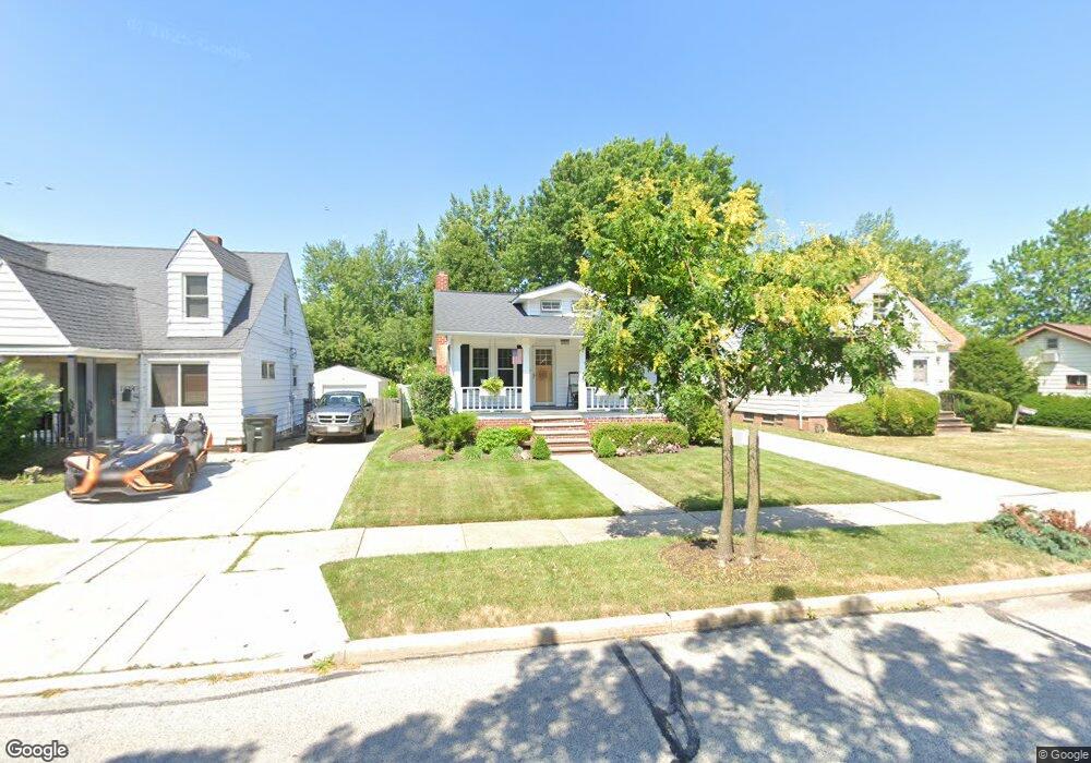
1620 Winchester Rd Cleveland, OH 44124
Estimated Value: $177,000 - $217,000
2
Beds
1
Bath
912
Sq Ft
$208/Sq Ft
Est. Value
About This Home
This home is located at 1620 Winchester Rd, Cleveland, OH 44124 and is currently estimated at $189,524, approximately $207 per square foot. 1620 Winchester Rd is a home located in Cuyahoga County with nearby schools including Sunview Elementary School, Greenview Upper Elementary School, and Memorial Junior High School.
Ownership History
Date
Name
Owned For
Owner Type
Purchase Details
Closed on
Jun 14, 2001
Sold by
Partnership Lorain Properties Co, An Ohio
Bought by
Jalovec Jill
Current Estimated Value
Home Financials for this Owner
Home Financials are based on the most recent Mortgage that was taken out on this home.
Original Mortgage
$67,000
Interest Rate
7.18%
Mortgage Type
Purchase Money Mortgage
Purchase Details
Closed on
Jul 27, 1988
Sold by
Bosco John W
Bought by
Lorain Properties Co An
Purchase Details
Closed on
Mar 25, 1985
Sold by
Daniel Thomas S
Bought by
Bosco John W
Purchase Details
Closed on
Aug 17, 1978
Sold by
Chaves Donald L and Chaves Cherly L
Bought by
Daniel Thomas S
Purchase Details
Closed on
Sep 2, 1975
Sold by
Senning George M and Senning Alma E
Bought by
Chaves Donald L and Chaves Cherly L
Purchase Details
Closed on
Jan 1, 1975
Bought by
Senning George M and Senning Alma E
Create a Home Valuation Report for This Property
The Home Valuation Report is an in-depth analysis detailing your home's value as well as a comparison with similar homes in the area
Home Values in the Area
Average Home Value in this Area
Purchase History
| Date | Buyer | Sale Price | Title Company |
|---|---|---|---|
| Jalovec Jill | -- | Midland Title Security Inc | |
| Lorain Properties Co An | $43,000 | -- | |
| Bosco John W | $48,000 | -- | |
| Daniel Thomas S | $36,900 | -- | |
| Chaves Donald L | $28,000 | -- | |
| Senning George M | -- | -- |
Source: Public Records
Mortgage History
| Date | Status | Borrower | Loan Amount |
|---|---|---|---|
| Previous Owner | Jalovec Jill | $67,000 |
Source: Public Records
Tax History Compared to Growth
Tax History
| Year | Tax Paid | Tax Assessment Tax Assessment Total Assessment is a certain percentage of the fair market value that is determined by local assessors to be the total taxable value of land and additions on the property. | Land | Improvement |
|---|---|---|---|---|
| 2024 | $3,263 | $46,060 | $11,620 | $34,440 |
| 2023 | $3,382 | $38,640 | $9,310 | $29,330 |
| 2022 | $3,363 | $38,640 | $9,310 | $29,330 |
| 2021 | $3,335 | $38,640 | $9,310 | $29,330 |
| 2020 | $3,129 | $31,680 | $7,630 | $24,050 |
| 2019 | $2,821 | $90,500 | $21,800 | $68,700 |
| 2018 | $2,807 | $31,680 | $7,630 | $24,050 |
| 2017 | $2,666 | $27,550 | $7,250 | $20,300 |
| 2016 | $2,645 | $27,550 | $7,250 | $20,300 |
| 2015 | $2,677 | $27,550 | $7,250 | $20,300 |
| 2014 | $2,677 | $28,110 | $7,390 | $20,720 |
Source: Public Records
Map
Nearby Homes
- 5204 Haverford Dr
- 5159 Haverford Dr
- 5144 Oakmont Dr
- 1443 Churchill Rd
- 1691 Harwich Rd
- 1403 Churchill Rd
- 5079 Haverford Dr
- 250 Eagle Point Dr
- 1667 Richmond Rd
- 1368 Irene Rd
- 1842 Aldersgate Dr
- 5027 Bristol Ct
- 5103 Eastover Rd
- 1922 Winchester Rd
- 1387 Richmond Rd
- 1775 Brainard Rd
- 5688 Shawnee Dr
- 1284 Haverston Rd
- 1291 Haverston Rd
- 1857 Brainard Rd
- 1616 Winchester Rd
- 1624 Winchester Rd
- 1608 Winchester Rd
- 1628 Winchester Rd
- 1636 Winchester Rd
- 1619 Overbrook Rd
- 1604 Winchester Rd
- 1613 Overbrook Rd
- 1609 Overbrook Rd
- 1629 Overbrook Rd
- 1615 Winchester Rd
- 1617 Winchester Rd
- 1640 Winchester Rd
- 1603 Overbrook Rd
- 1611 Winchester Rd
- 1596 Winchester Rd
- 5347 Huron Rd
- 1633 Overbrook Rd
- 1599 Overbrook Rd
- 1644 Winchester Rd