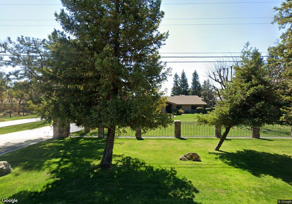
16201 Johnson Rd Bakersfield, CA 93314
Estimated Value: $861,000 - $1,100,000
4
Beds
4
Baths
2,314
Sq Ft
$439/Sq Ft
Est. Value
About This Home
This home is located at 16201 Johnson Rd, Bakersfield, CA 93314 and is currently estimated at $1,016,618, approximately $439 per square foot. 16201 Johnson Rd is a home located in Kern County with nearby schools including Rio Bravo-Greeley Elementary School, Rio Bravo Elementary School, and Liberty High School.
Ownership History
Date
Name
Owned For
Owner Type
Purchase Details
Closed on
Jan 22, 2004
Sold by
1119 Pedras Road Llc
Bought by
Daniel Carl R and Daniel Patricia A
Current Estimated Value
Purchase Details
Closed on
Aug 10, 2001
Sold by
Koelbel Webb Iii Thomas Baucom and Koelbel Webb Leslie
Bought by
Daniel Carl R and Daniel Patricia A
Home Financials for this Owner
Home Financials are based on the most recent Mortgage that was taken out on this home.
Original Mortgage
$125,000
Interest Rate
6.73%
Create a Home Valuation Report for This Property
The Home Valuation Report is an in-depth analysis detailing your home's value as well as a comparison with similar homes in the area
Home Values in the Area
Average Home Value in this Area
Purchase History
| Date | Buyer | Sale Price | Title Company |
|---|---|---|---|
| Daniel Carl R | -- | -- | |
| Daniel Carl R | $372,000 | American Title Co |
Source: Public Records
Mortgage History
| Date | Status | Borrower | Loan Amount |
|---|---|---|---|
| Previous Owner | Daniel Carl R | $125,000 |
Source: Public Records
Tax History
| Year | Tax Paid | Tax Assessment Tax Assessment Total Assessment is a certain percentage of the fair market value that is determined by local assessors to be the total taxable value of land and additions on the property. | Land | Improvement |
|---|---|---|---|---|
| 2025 | $7,743 | $616,457 | $184,651 | $431,806 |
| 2024 | $7,610 | $604,371 | $181,031 | $423,340 |
| 2023 | $7,610 | $592,523 | $177,482 | $415,041 |
| 2022 | $7,652 | $580,907 | $174,002 | $406,905 |
| 2021 | $7,526 | $569,520 | $170,591 | $398,929 |
| 2020 | $7,328 | $563,682 | $168,842 | $394,840 |
| 2019 | $7,193 | $563,682 | $168,842 | $394,840 |
| 2018 | $6,902 | $541,798 | $162,287 | $379,511 |
| 2017 | $6,834 | $531,176 | $159,105 | $372,071 |
| 2016 | $6,392 | $520,763 | $155,986 | $364,777 |
| 2015 | $5,929 | $488,318 | $153,643 | $334,675 |
| 2014 | $5,833 | $478,754 | $150,634 | $328,120 |
Source: Public Records
Map
Nearby Homes
- 311 Saba Way
- 16030 Strebor Dr
- 15710 Black Hawk Ave
- 16459 Paraduxx Ct
- 119 Spottswoode Ln
- 59 Spottswoode Ln
- 16515 Brimhall Rd
- 207 Riesling Vines St
- 15112 Sunnybank Ave
- 15607 Donostia St
- 16451 Barton Ln
- 16725 Weatherly Ct
- 16601 Keystone Place
- 16719 Keystone Place
- 16711 Keystone Place
- 15918 Clos du Val Ave
- 15414 Donostia St
- 15628 Renteria Dr
- 15520 Georges Letour Ave
- 14908 Central Coast St
- 16101 Johnson Rd
- 16247 Johnson Rd
- 16126 Johnson Rd
- 16321 Johnson Rd
- 16246 Johnson Rd
- 16031 Johnson Rd
- 16127 Harvest St
- 16421 Johnson Rd
- 16301 Harvest St Unit 1
- 16001 Johnson Rd
- 16126 Black Hawk Ave
- 16001 Strebor Dr
- 16031 Strebor Dr
- 15940 Arabella Ave
- 16420 Johnson Rd
- 15931 Johnson Rd
- 16300 Black Hawk Ave
- 15931 Strebor Dr
- 358 Moon Ranch St
- 16000 Strebor Dr
Your Personal Tour Guide
Ask me questions while you tour the home.