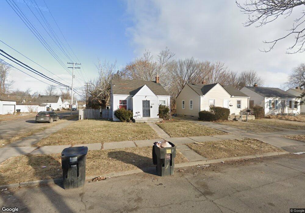
16201 Liberal St Detroit, MI 48205
Regent Park NeighborhoodEstimated Value: $65,000 - $136,305
--
Bed
1
Bath
985
Sq Ft
$98/Sq Ft
Est. Value
About This Home
This home is located at 16201 Liberal St, Detroit, MI 48205 and is currently estimated at $96,326, approximately $97 per square foot. 16201 Liberal St is a home located in Wayne County with nearby schools including Edward 'Duke' Ellington Conservatory of Music and Art, Charles L. Spain Elementary-Middle School, and Denby High School.
Ownership History
Date
Name
Owned For
Owner Type
Purchase Details
Closed on
Nov 21, 2014
Sold by
Wayne County Treasurer
Bought by
Hagerman Stephen and Unique Home Rentals Llc
Current Estimated Value
Purchase Details
Closed on
Dec 20, 2011
Sold by
The Real Estate Place Llc
Bought by
Stanford Winston
Purchase Details
Closed on
Nov 18, 2011
Sold by
Wojtowicz Raymond J
Bought by
The Real Estate Place Llc
Purchase Details
Closed on
Apr 21, 2006
Sold by
Whetstone Enterprises Inc
Bought by
Kennedy Shamelle
Create a Home Valuation Report for This Property
The Home Valuation Report is an in-depth analysis detailing your home's value as well as a comparison with similar homes in the area
Home Values in the Area
Average Home Value in this Area
Purchase History
| Date | Buyer | Sale Price | Title Company |
|---|---|---|---|
| Hagerman Stephen | $500 | None Available | |
| Stanford Winston | $4,500 | None Available | |
| The Real Estate Place Llc | $1,300 | None Available | |
| Kennedy Shamelle | $79,000 | Metropolitan Title Company |
Source: Public Records
Tax History Compared to Growth
Tax History
| Year | Tax Paid | Tax Assessment Tax Assessment Total Assessment is a certain percentage of the fair market value that is determined by local assessors to be the total taxable value of land and additions on the property. | Land | Improvement |
|---|---|---|---|---|
| 2025 | $1,202 | $25,800 | $0 | $0 |
| 2024 | $1,202 | $20,800 | $0 | $0 |
| 2023 | $1,167 | $16,900 | $0 | $0 |
| 2022 | $1,242 | $16,300 | $0 | $0 |
| 2021 | $1,331 | $11,100 | $0 | $0 |
| 2020 | $1,041 | $9,400 | $0 | $0 |
| 2019 | $949 | $9,100 | $0 | $0 |
| 2018 | $843 | $8,200 | $0 | $0 |
| 2017 | $145 | $9,100 | $0 | $0 |
| 2016 | $916 | $14,800 | $0 | $0 |
| 2015 | $1,480 | $14,800 | $0 | $0 |
| 2013 | $2,055 | $20,549 | $0 | $0 |
| 2010 | -- | $30,127 | $1,124 | $29,003 |
Source: Public Records
Map
Nearby Homes
- 16221 Liberal St
- 16232 Manning St
- 16236 Liberal St
- 16274 Liberal St
- 16100 Liberal St
- 16121 Manning St
- 16077 Liberal St
- 16235 Tacoma St
- 16419 Novara St
- 16209 Tacoma St
- 16410 Novara St
- 16052 Tacoma St
- 16073 Tacoma St
- 16216 E State Fair St
- 19401 Kelly Rd
- 19605 Kelly Rd
- 16011 Tacoma St
- 19649 Kelly Rd
- 16446 E State Fair St
- 19249 Kelly Rd
- 16211 Liberal St
- 16117 Liberal St
- 16229 Liberal St
- 16111 Liberal St
- 16204 Manning St
- 16214 Manning St
- 16237 Liberal St
- 16118 Manning St
- 16101 Liberal St
- 16224 Manning St
- 16200 Liberal St
- 16110 Manning St
- 16245 Liberal St
- 16220 Liberal St
- 16118 Liberal St
- 16093 Liberal St
- 16210 Liberal St
- 16100 Manning St
- 16108 Liberal St
- 16240 Manning St