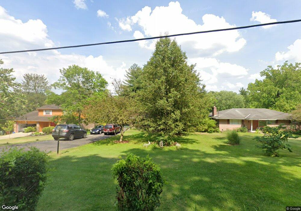
1621 Miles Rd Cincinnati, OH 45231
Winton Lake NeighborhoodEstimated Value: $272,000 - $287,964
4
Beds
3
Baths
2,184
Sq Ft
$127/Sq Ft
Est. Value
About This Home
This home is located at 1621 Miles Rd, Cincinnati, OH 45231 and is currently estimated at $277,741, approximately $127 per square foot. 1621 Miles Rd is a home located in Hamilton County with nearby schools including Mt Healthy High School and Central Montessori Academy.
Ownership History
Date
Name
Owned For
Owner Type
Purchase Details
Closed on
Apr 19, 2004
Sold by
Griffin Frank A and Griffin Vivian
Bought by
South Cindy and South Estell
Current Estimated Value
Home Financials for this Owner
Home Financials are based on the most recent Mortgage that was taken out on this home.
Original Mortgage
$172,636
Outstanding Balance
$80,105
Interest Rate
5.46%
Mortgage Type
FHA
Estimated Equity
$197,636
Create a Home Valuation Report for This Property
The Home Valuation Report is an in-depth analysis detailing your home's value as well as a comparison with similar homes in the area
Home Values in the Area
Average Home Value in this Area
Purchase History
| Date | Buyer | Sale Price | Title Company |
|---|---|---|---|
| South Cindy | $174,000 | -- |
Source: Public Records
Mortgage History
| Date | Status | Borrower | Loan Amount |
|---|---|---|---|
| Open | South Cindy | $172,636 |
Source: Public Records
Tax History Compared to Growth
Tax History
| Year | Tax Paid | Tax Assessment Tax Assessment Total Assessment is a certain percentage of the fair market value that is determined by local assessors to be the total taxable value of land and additions on the property. | Land | Improvement |
|---|---|---|---|---|
| 2024 | $3,887 | $67,442 | $13,398 | $54,044 |
| 2023 | $3,693 | $67,442 | $13,398 | $54,044 |
| 2022 | $3,749 | $49,319 | $13,003 | $36,316 |
| 2021 | $3,649 | $49,319 | $13,003 | $36,316 |
| 2020 | $3,704 | $49,319 | $13,003 | $36,316 |
| 2019 | $3,248 | $40,426 | $10,658 | $29,768 |
| 2018 | $3,266 | $40,426 | $10,658 | $29,768 |
| 2017 | $3,099 | $40,426 | $10,658 | $29,768 |
| 2016 | $3,064 | $39,396 | $12,439 | $26,957 |
| 2015 | $3,088 | $39,396 | $12,439 | $26,957 |
| 2014 | $3,074 | $39,396 | $12,439 | $26,957 |
| 2013 | $3,166 | $41,469 | $13,094 | $28,375 |
Source: Public Records
Map
Nearby Homes
- 1503 Covered Bridge Rd
- 1805 Miles Rd
- 9731 Culpepper Ct
- 1559 Meredith Dr
- 1579 Meredith Dr
- 1917 Springdale Rd
- 1662 Springdale Rd
- 9648 Fallshill Cir
- 10467 Mill Rd
- 10493 Mill Rd
- 2204 Woodacre Dr
- 1050 Meredith Dr
- 10525 Mill Rd
- 1559 Adams Rd
- 1509 Adams Rd
- 10040 Daly Rd
- 2317 Magdalena Dr
- 9320 Rambler Place
- 7832 Lincoln Ave
- 9733 Gertrude Ln
- 1613 Miles Rd
- 1629 Miles Rd
- 1605 Miles Rd
- 1599 Miles Rd
- 1620 Miles Rd
- 1612 Miles Rd
- 1648 Miles Rd
- 1595 Covered Bridge Rd
- 1650 Miles Rd
- 9968 Hamilton Ave
- 0 Hamilton Ave Unit 1343933
- 0 Hamilton Ave Unit 1386756
- 0 Hamilton Ave Unit 1022641
- 0 Hamilton Ave Unit 718261
- 9976 Hamilton Ave
- 1555 Covered Bridge Rd
- 1575 Covered Bridge Rd
- 9962 Hamilton Ave
- 10050 Mill Rd
- 10041 Mill Rd