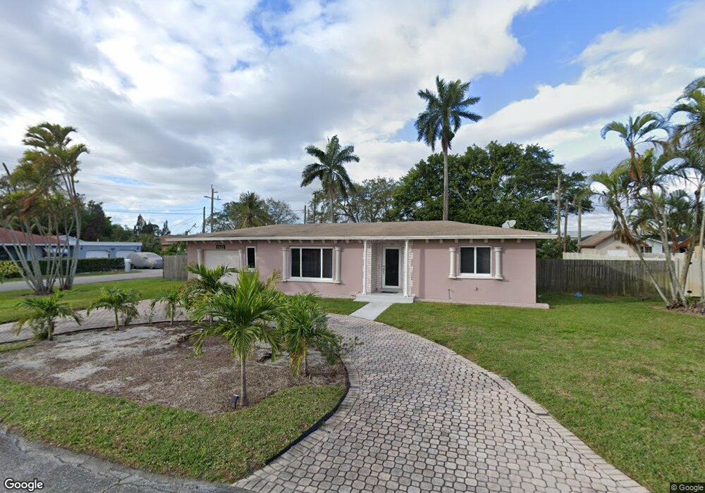
1621 Paxton Ave West Palm Beach, FL 33407
Estimated Value: $331,000 - $391,048
--
Bed
1
Bath
1,357
Sq Ft
$272/Sq Ft
Est. Value
About This Home
This home is located at 1621 Paxton Ave, West Palm Beach, FL 33407 and is currently estimated at $369,762, approximately $272 per square foot. 1621 Paxton Ave is a home located in Palm Beach County with nearby schools including West Riviera Elementary School, John F. Kennedy Middle School, and Palm Beach Lakes Community High School.
Ownership History
Date
Name
Owned For
Owner Type
Purchase Details
Closed on
Dec 9, 1998
Sold by
Patrick Conroy Tr
Bought by
Rivers Michael F and Seymoure-River Cheryl
Current Estimated Value
Purchase Details
Closed on
Jul 10, 1998
Sold by
Clerk Of The Court
Bought by
Conroy Patrick
Purchase Details
Closed on
Dec 17, 1993
Sold by
Smith Louise
Bought by
Smith Richard Alan
Create a Home Valuation Report for This Property
The Home Valuation Report is an in-depth analysis detailing your home's value as well as a comparison with similar homes in the area
Home Values in the Area
Average Home Value in this Area
Purchase History
| Date | Buyer | Sale Price | Title Company |
|---|---|---|---|
| Rivers Michael F | $72,000 | -- | |
| Conroy Patrick | $33,700 | -- | |
| Smith Richard Alan | $23,000 | -- |
Source: Public Records
Mortgage History
| Date | Status | Borrower | Loan Amount |
|---|---|---|---|
| Open | Smith Richard Alan | $7,497 | |
| Open | Smith Richard Alan | $18,400 | |
| Open | Smith Richard Alan | $92,056 |
Source: Public Records
Tax History Compared to Growth
Tax History
| Year | Tax Paid | Tax Assessment Tax Assessment Total Assessment is a certain percentage of the fair market value that is determined by local assessors to be the total taxable value of land and additions on the property. | Land | Improvement |
|---|---|---|---|---|
| 2024 | $4,391 | $52,899 | -- | -- |
| 2023 | $3,060 | $51,358 | $0 | $0 |
| 2022 | $3,044 | $49,862 | $0 | $0 |
| 2021 | $3,017 | $48,410 | $0 | $0 |
| 2020 | $3,095 | $47,742 | $0 | $0 |
| 2019 | $697 | $46,669 | $0 | $0 |
| 2018 | $665 | $45,799 | $0 | $0 |
| 2017 | $645 | $44,857 | $0 | $0 |
| 2016 | $631 | $43,934 | $0 | $0 |
| 2015 | $635 | $43,629 | $0 | $0 |
| 2014 | $635 | $43,283 | $0 | $0 |
Source: Public Records
Map
Nearby Homes
- 1705 Boardman Ave
- 1605 East Place
- 1764 Lindley St
- 5633 Mentmore Dr
- 5612 Mentmore Dr
- 5677 Mentmore Dr Unit 5677
- 908 E Tiffany Dr Unit 2
- 5688 Mentmore Dr
- 826 E Tiffany Dr Unit 4
- 5709 Mentmore Dr
- 5720 Mentmore Dr
- 5646 Enclave Dr
- 5611 Enclave Dr
- 1653 Lindley St
- 5657 Mentmore Dr
- 810 W Tiffany Dr Unit 3
- 2109 Pinehurst Dr
- 2135 Pinehurst Dr
- 5707 Briarwood St
- 1654 43rd St
- 1617 Paxton Ave
- 1620 Sherwood Ave
- 5351 Lakeshore Dr
- 1616 Sherwood Ave
- 1613 Paxton Ave
- 5301 Lakeshore Dr
- 1624 Crandon Ave
- 5715 Enclave Dr
- 195 River Grove Way
- 1612 Sherwood Ave
- 5500 Lakeshore Dr
- 1609 Paxton Ave
- 1713 Boardman Ave
- 1611 Sherwood Ave
- 1608 Paxton Ave
- 1608 Sherwood Ave
- 1709 Boardman Ave
- 1609 East Place
- 1720 Boardman Ave
- 1613 Sherwood Ave